In the
This became the main road to the North for 180 years from 1689-1869 and was the most important route linking the “Grasveld” around Mossel Bay with Kannaland in the vicinity of Oudtshoorn.
With the later construction of the Robinson Pass , the Attakwaskloof Pass
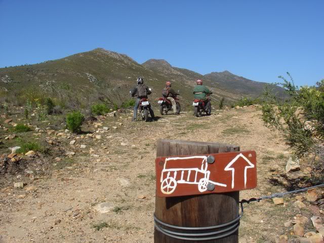
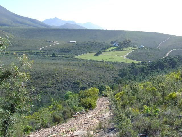
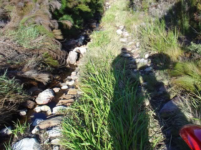
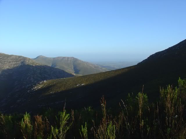
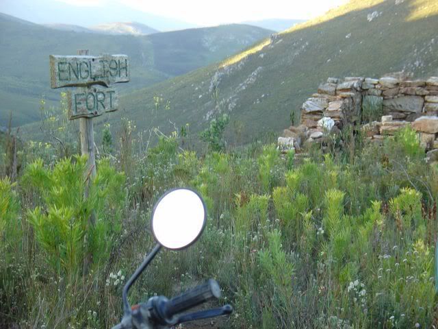
The Attakwaskloof pass is 10 km long and reaches a height of 820 m above sea level. It is over 300 years old. It offers spectacular scenery, natural rock pools, remains of historic buildings like block houses, an old hotel and toll houses.
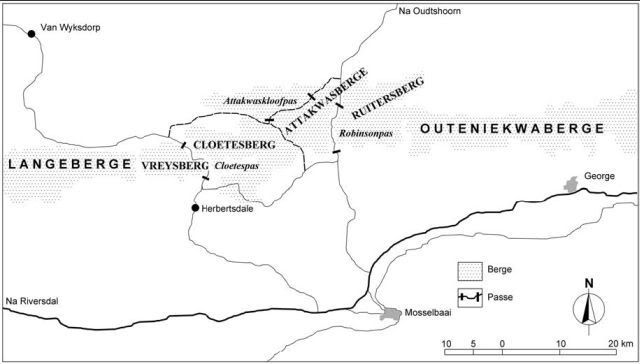
An old map of the Pass:
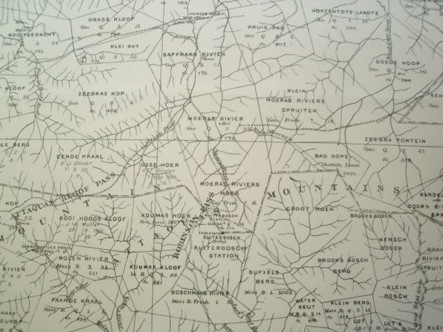
(Click on the map for bigger image)


.
No comments:
Post a Comment