After the night with the dogs we woke a little late this morning. I was up at 5:20 and we hit the road at 7:20.
Originally we planned to sleep in Hogsback and Wartrail the night thereafter, but having slept in Grahamstown changed things a bit. Hogback was too close and Wartrail too far. During the planning stages of this trip GlenInk offered camping space should we be in the Elliott area. We had a look at the maps and it seemed perfect! So today we head for Elliott via all the passes on we can see on the map.

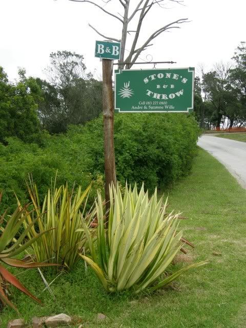
The establishment of our gracious host: Stone's Throw B&B
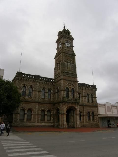
But before we head out we have a look at this interesting town and it's amazing buildings.
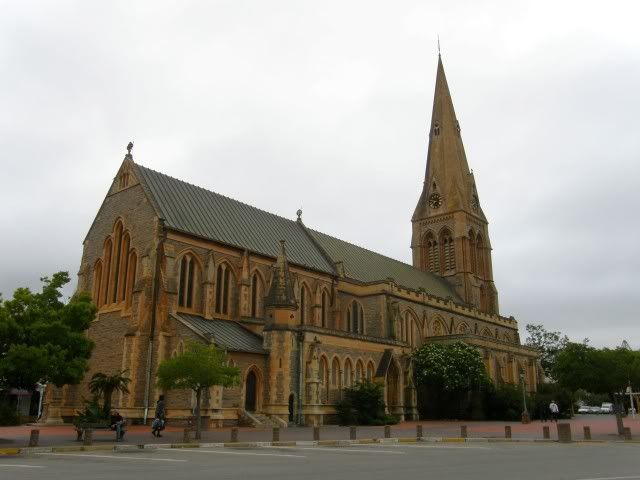
The St. Michael and St. George Cathedral in Church Square is the seat of the Anglican Diocese of Grahamstown. Building first started on the cathedral in 1824. St George's was opened for use in 1830 and became a refuge for women and children during the Xhosa Wars.
Grahamstown actually has 52 churches of numerous denominations, gaining it the name the "City of Saints".
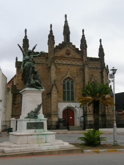
What a beautiful town!
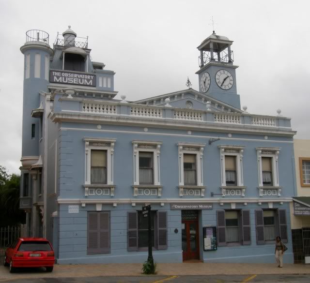
In 1859, Henry Carter Galpin bought a simple double-storey establishment in Bathurst Street for £300. During the next 23 years he made extensive changes. The front was elegantly decorated, and a basement and three floors added to the back. Rooftop developments included an observatory, from which the building took its name, and what was for many years the only Camera Obscura in the Southern Hemisphere.
Grahamstown also has the "tallest toilet in the world" (housed in an abandoned chimney)

Andrew Geddes Bain (The Dad
) lived here. He had a business, did some inland exploring from here and even tried his hand at farming before his land was given to the Xhosas. Later he was engaged to construct a military road through the Ecca Pass, and displayed engineering talents which led to his being permanently employed as surveyor of military roads under the corps of Royal Engineers in 1836. During this period he had a part in building the Fish River bridge, then the largest bridge in the country.Time to hit the road:
We ride North to our first pass of the day: Ecca Pass. As mentioned Andrew Geddes Bain built this pass (his first) but I am unsure if this new tarred pass is the same pass or if the historic pass partially followed another route.
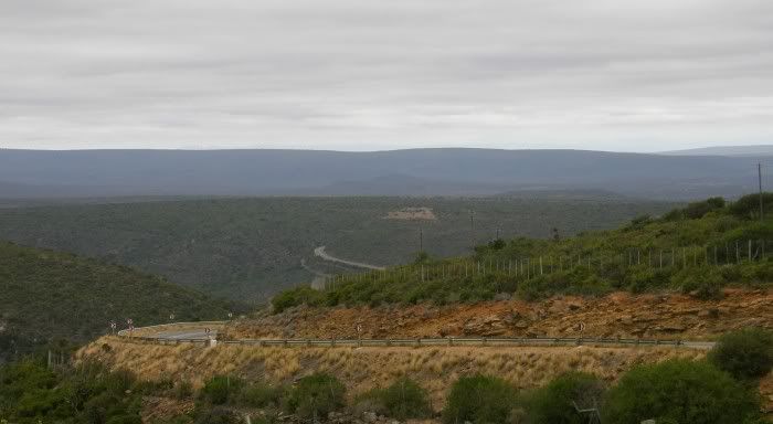
I'm sure it was more scenic in those days though.
We ride past Fort Beaufort and Balfour - today, come hell or high water, we cross Katberg!
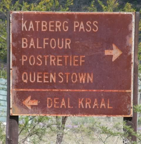
That's one formidable mountain to cross:
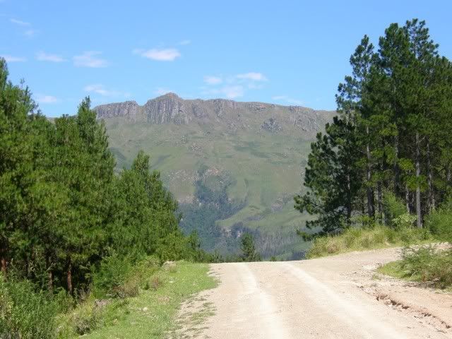
At the start of the pass we ride into the forest at the foot of Katberg. This really reminds me of home.
The Katberg Pass was designed by a man who trained to be a saddler; it was built by convicts in the days before dynamite had been invented and before cement had found its way to the Cape. Different times those were. You made do with what you had!
Today the road is almost exactly as it was 140+ years ago - yellowwood bridge and all. Who was it built by?
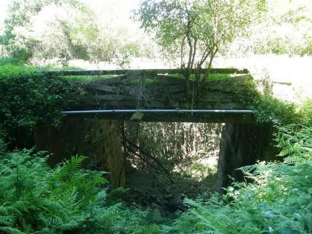
Andrew Geddes Bain.

Throughout his career, Andrew Geddes Bain built eight major roads and passes; the Katberg Pass was his last. Before this pass was completed, Bain visited England. Just before he left he suffered a heart attack and when he arrived back in Cape Town, he was dying. His second son Thomas's brother-in-law, Adam de Schmit, oversaw the completion of the pass in 1864.
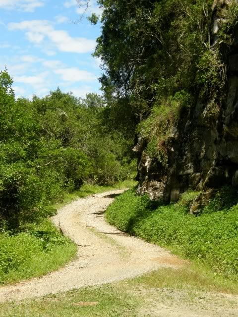
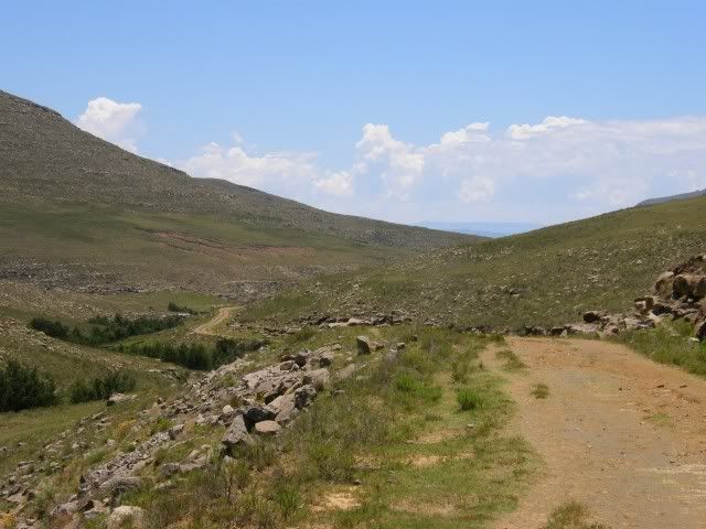
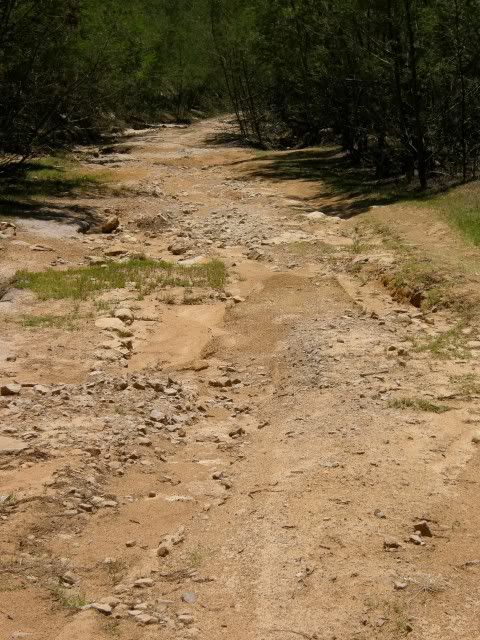
The road is not great these days with lots of ruts and loose gravel and stones. An in-ride perspective of the bottom part:
The GPS had a waypoint that indicated a bad spot. Smidty went ahead and waited camera in hand hoping for a action shot!
Sorry to disappoint. The TransAlp has never been on its side
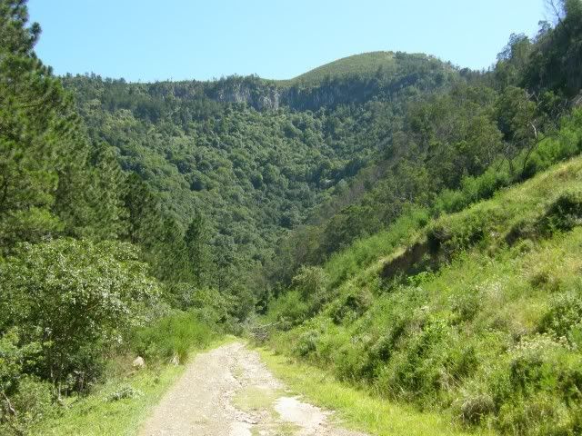
I have to mention that you really cannot see the incline on the camera. And of course you stop on the more level areas when taking a picture.Further along looking back - look at how high we already are! This is about half way.
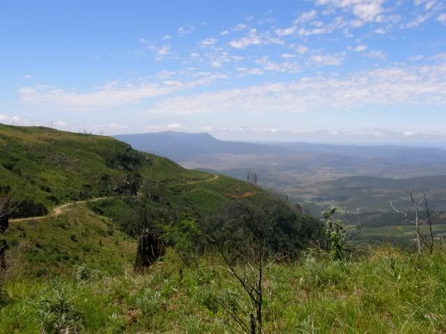
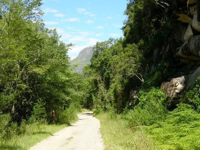
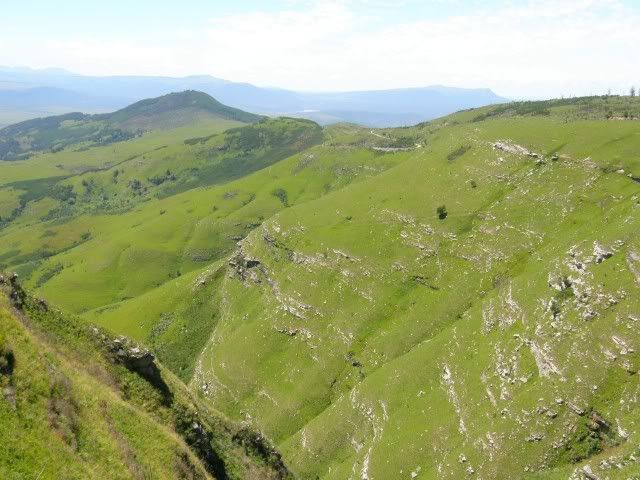
The view ahead. You cannot capture the majesty of these mountains on film. The scenery here is amazing.
The last section to the top. This is quite steep in sections and the road a lot worse than it seems on camera. Keep in mind we are riding a loaded bike 2-up! At one stage I thought we were going over the side...
 Personally I'd rate Katberg Pass' difficulty rating worse than Holgat Pass in Baviaans.
And on top of the world!!!!!
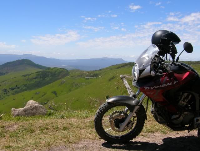
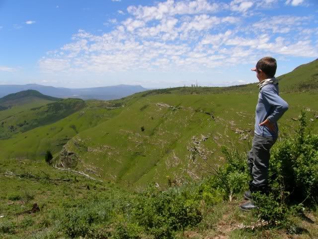
This is high up.
Since we left Cape Seal Lighthouse we have climbed 1625 meters! That's more than one and a half kilometers up in the air.
Smidty. He's made it up here on that loaded V-Strom. From the rocky Zuurberg Pass to the loose stuff in the heat yesterday to Katberg Pass' ruts, gravel and stones. I'm sure he hated my guts at times, but here we were.
Look at that face. 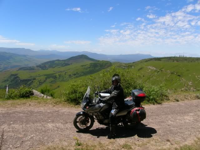
Times like these make for memorable trips.
And there were more to come.
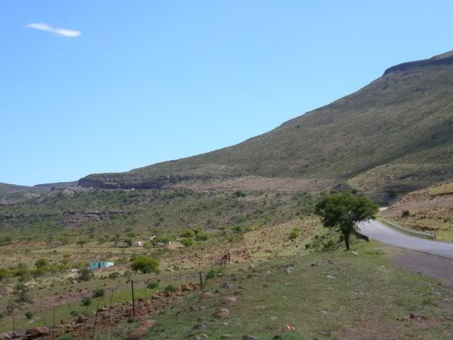
Next we tackle "The devil's bellows" towards Wittlesea.
This pass also had some bad sections, but much less scenery. This is looking back at a steepish downhill.
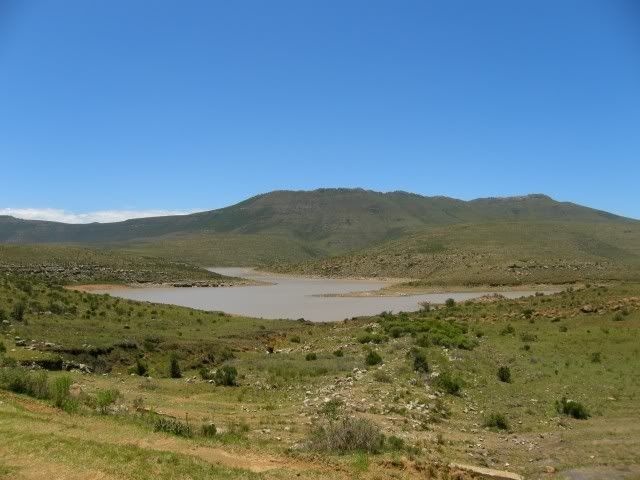
The Oxkraal dam just out of the pass:
By now it was lunchtime already and we still had some ways to go. The towns rolled by - Sada, Wittlesea, Queenstown. Nonesi's Nek pass was the next pass and quite a nice little pass actually, but the traffic was heavy and the road had no shoulder so I could not stop for a photo.
The photo I took from the bottom of the other side does it no justice:
MacKay's Nek Pass:
(Not as nice as Nonesi)
As we rode through the communal Xhosa land that used to be Transkei Asterix immediately noticed the difference. Huts all over the landscape in a haphazard way, livestock everywhere (especially in the road) etc. He has never seen a communal lifestyle and found it quite interesting.
Transkei
The area was set up as one of the two homelands for Xhosa-speaking people, the other being Ciskei; it was given nominal autonomy in 1963. South African prime minister B. J. Vorster justified the declaration of Transkei as an independent republic by referring to "the right of every people to have full control over its own affairs" and wished "Transkei and its leaders God's richest blessings on the road ahead."
The Transkei had an area covering a total of 45,000 km2 and was bordered by the Umtamvuna River in the north and the Great Kei River in the south, while the Indian Ocean and the Drakensberg mountain range of the landlocked kingdom of Lesotho served as the Transkei's respective eastern and western frontiers.
Notable persons from the Transkei include Nelson Mandela, Thabo Mbeki and Walter Sisulu.
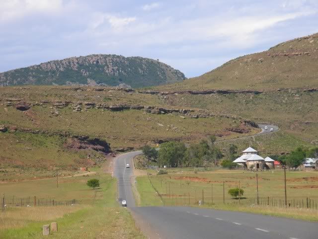
And just before we enter Elliott we cross Cala Pass:
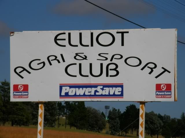
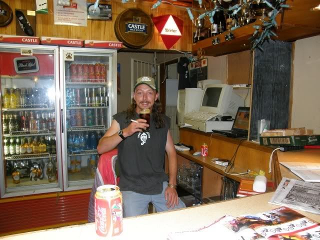
After a long day's riding we arrive at the Elliott Agri & Sport Club where we are warmly welcomed by out host GlenInk
As luck would have it he runs this whole place, including tennis and squash courts, golf course and of course the pub!

Check out the Western Province flag in the back!

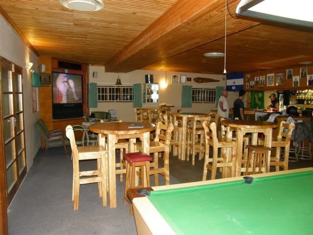
The local Moths also gather here. Weapons of choice:
GlenInk's boney:
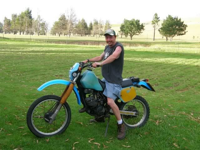
It's a Yamaha IT200 and he's still got both original keys.
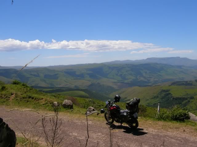
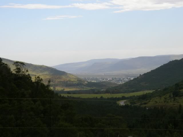
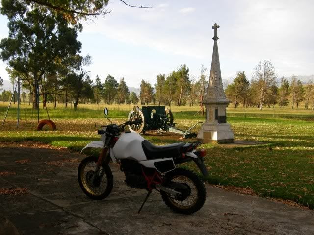
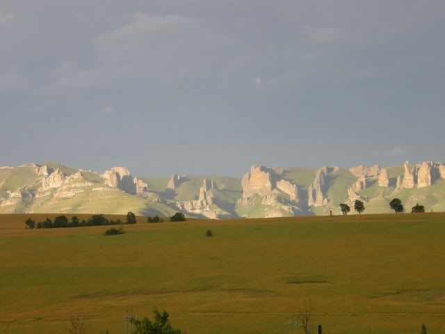
This is a beautiful setting. Check out this view! That is the Drakensberg right there. I can't wait for tomorrow
The fires are lit and the party starts. We had a good one last night with the Grahamstown boys, but the one-man Elliott Wild Dog committee kept us going.
The party continues, Asterix and Smidty Jnr is playing pool and GlenInk breaks out the Jägermeister The next time I check the time it's 1 am.


.
No comments:
Post a Comment