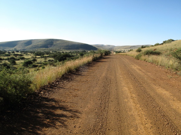
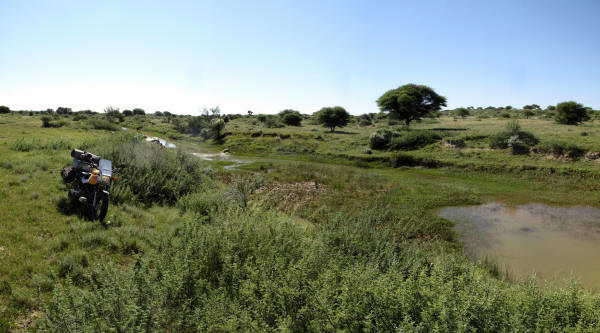
Anderson had predicted that Burchell and his party would be killed on the journey to Graaff-Reinet but instead of rejoicing at their safe return they ignored them as far as possible (2:223). Burchell got out of there as fast as possible which was two weeks after getting back from Graaff-Reinet. I didn’t care for the place either(2:238) so pressed on to Kuruman after doing the Hippo Hunt circuit. I followed minor gravel roads staying as close to Burchell’s route as possible up to Kuruman.
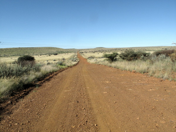
Parts of it were lovely. Those are the Kuruman Hills.
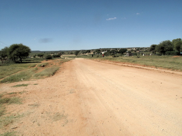
On the other side of the hills on the right of this picture is Lohatla & Sishen. The road changed to this lovely red colour due to the iron oxide (it had been even darker earlier).
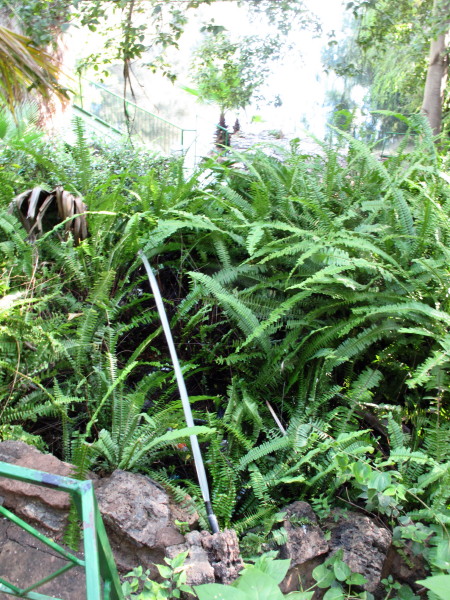
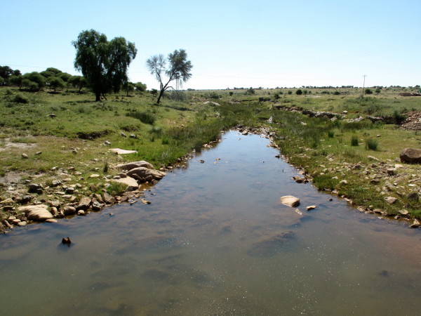
Camped in the municipal campsite. Next day I went & had a look at the famous eye. Municipal strikes everywhere so I was fortunate that there was anyone to let me in.
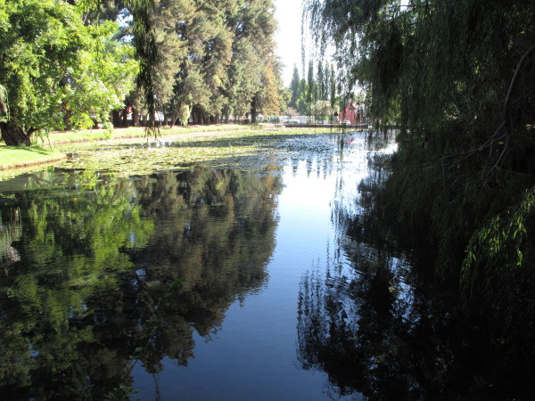
There is a little waterfall seemingly keeping the eye full. In fact it is deception; here is the plastic pipe feeding the waterfall. I know from visiting many years ago that the actual spring is at the bottom of the pond & you could see the water bubbling up when I was there before.
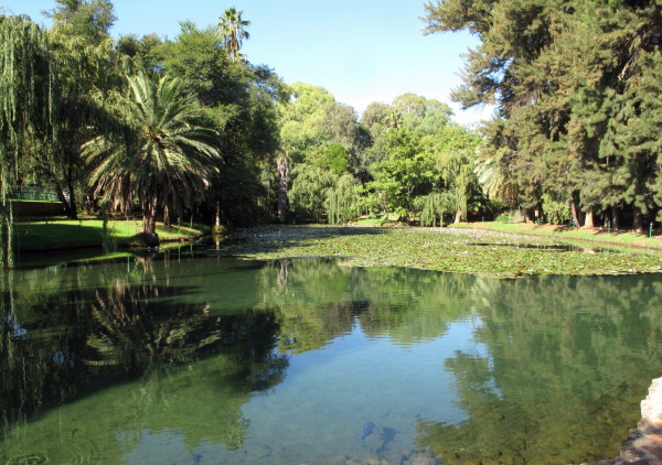
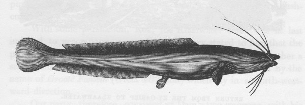
There were many fish in the Eye at Kuruman including barbell. This is Burchell’s drawing of a barbell.
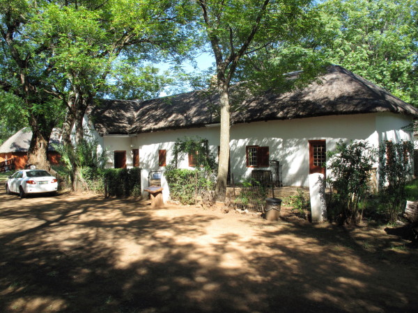
A little outside town is the Moffat Church complex. The church.
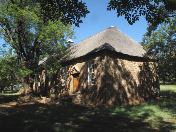
The Moffat’s house. The Moffat Mission fell into ruin during Apartheid. The Bantu Education Act & the Group Area Act resulted in schooling and worship ending there. The teachers & pupils left as did the congregation so the buildings fell into ruin. They have since been restored.
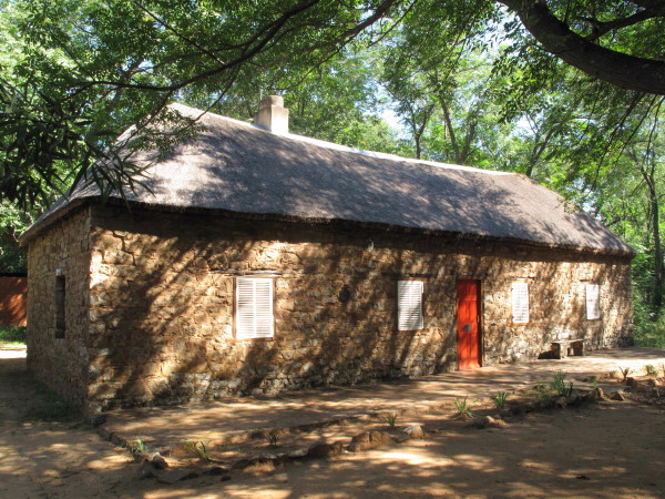
I am not certain what this is but I particularly like it (probably the old school building). Local stone used very neatly & nice proportions.
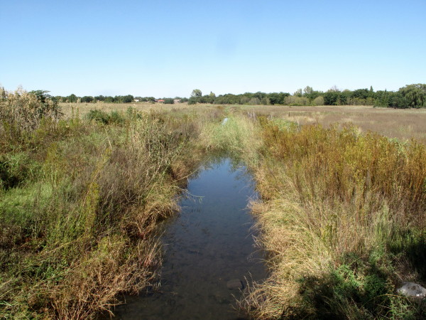
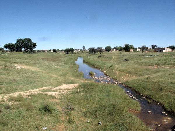
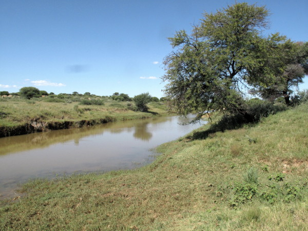
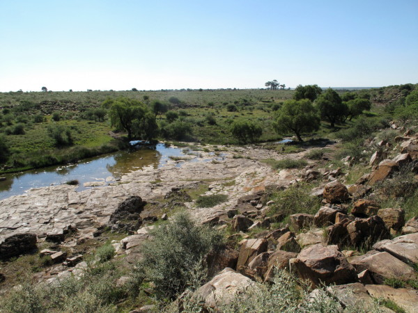
The Moffat church is 5km from the eye in Kuruman. The water flows past in this stream which slowly peters out – Burchell mentions it.
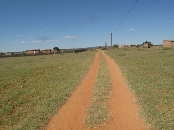
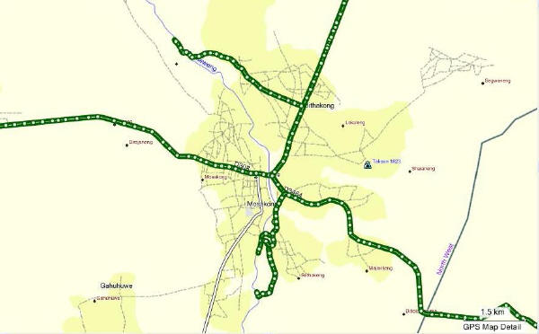
I headed north east to Dithakong. On map #2722 it is marked as being quite extensive & it is but it is just a scattering of huts and RDP style buildings. When Burchell came here in 1812 it was the capital for the local tribe of Setswana named Bachapin by the colonists. The countryside has now changed with bigger and more established trees than there were up to Griekwastad.
Picture right in the center of the marked settlement. See what I mean about not being tightly developed?
Burchell wanted to spend time in Litakun to get to know the people and their customs. He spent just less than one month there.
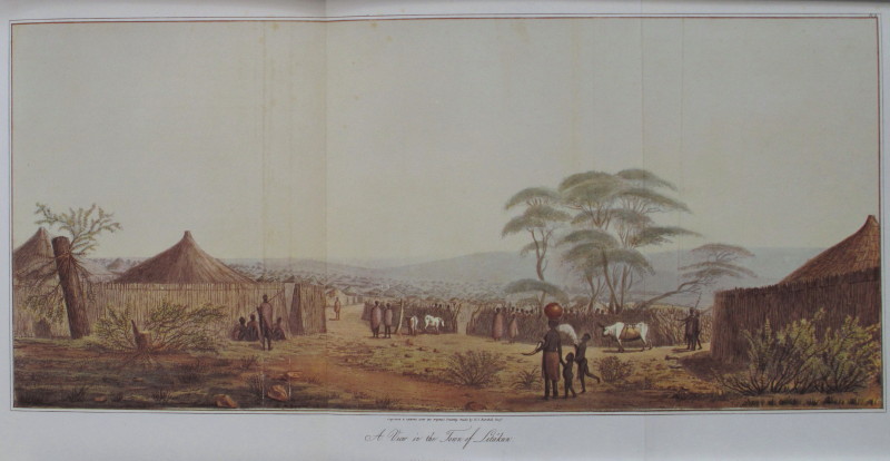
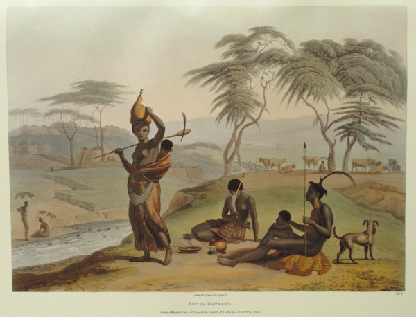
These are pictures of Latakun (Dithakong) from Burchell. Notice that each house is inside a lapa of woven branches.
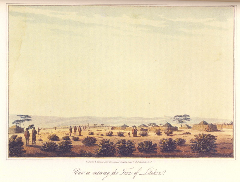
This second one is a three page fold out picture. You can see the detail and care that Burchell took with his pictures. When Burchell arrived they were expected and welcomed (2:359). He stayed, as intended, three weeks so that he could ‘learn the character and customs of the people’ (2:353). Most of his staff were extremely nervous the entire time there (2:353) – remember they were the social dregs from Graaff-Reinet. Burchell describes Litakun as a collection of little villages each centered on a chieftain (2:513) comprising about 5 000 people (2:514) spread over 2.5 km N-S x 3.2 km E-W (2:515).
Samuel Daniell had been to Litakun in 1801 (Burchell there in 1812) in the first party of Europeans to visit it, a party of 40 people coming to trade for cattle led by Dr. Sommerville & Mr. Truter.
Samuel Daniell (1775–1811) was a British artist on the P.J. Truter and William Somerville expedition of 1801-02 into the southern African interior. Daniell arrived in the Cape on 9 December 1799. He was appointed by Lieut.-General Dundas, who became his patron and to whom the first volume of his book, African Scenery, was dedicated. On this expedition, Daniell sketched the people and natural history that he found around the Orange (Gariep) River in what is now the Northern Cape. On his return to England, with the assistance of his brother William and uncle Thomas Daniell, he used these sketches to produce thirty watercolours for his magnificent folio, African Scenery and Animals - one of the great plate books of the 19th century.
*Source*We have a copy of the Daniell book and it was this one in particular that I wanted to try and find. The commentary for the reprint of the Daniell book says that Litakun was in five different places – 1 minor and 3 major moves. One of the minor moves took place between Daniell’s picture and Burchell’s picture. See Burchell V2P512 also for info about the town moves.
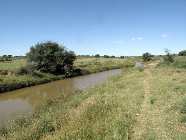
This is the picture in the town where the road crosses the Moshowing river. Looking upstream:
Looking downstream.
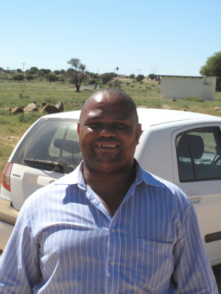
This is obviously not what Daniell was looking at. It could easily be in the Burchell pictures though. As I was taking the pictures a friendly man stopped and asked why I was taking pictures. I showed him the Daniell picture & said I was trying to find that place. Emanuel (his name) did not recognise the places but was very interested in knowing that Dithakong had been written about. I promised to send him a photostat of the relevant parts of the Burchell book & I had decent prints of the colour pictures made – the long fold out one on A5 paper.
Emanuel.
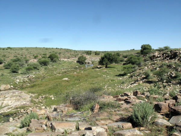
Since the Daniell site is somewhere nearby I went downstream as that looked most promising.
This? Right shape but not nearly high enough.
Bigger view from the other side a little further downstream @ S27° 3’ 33.5” E23° 54’ 6,5”.
Same place looking upstream.
I then went looking upstream. The whole settlement is spread out; this is the sort of twee spoor I was riding on to get to the likely Daniell picture spots.
Start of the upstream sites. There were seven pictures of the upstream sites but I have cut it down to three. This is a bit stony for the Daniell picture. In the commentary to the picture they state that the river only runs for three months in the year. Daniell was clearly there when the river was at its prime.
Further upstream.
I think this spot is the closest. At S27° 6’ 42.8” E23° 55’ 10.9”
My track looking for the sites.
Here is a second Daniell view, similar to the previous setting but closer to what I found upstream.
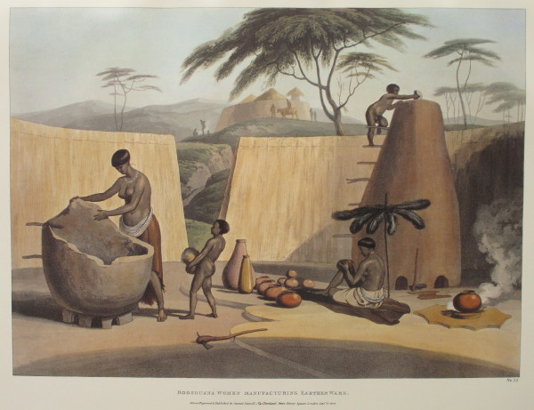
There are two other Daniell pictures. That is a big clay mielie storage silo. Notice the umbrella like sunshade of ostrich feathers; also on the first Daniell picture and the next one.
Here is a picture of a woman making one of the mielie storage silos (2:520). The women also built the houses entirely without any input from the men (2:455 2:515). The men attended to the cattle and gathered in the mootsi (public enclosure) to chat about social and political matters (2:371 2:386 2:522). The women attended to the fields also.
Daniell shows the roof extended past the walls and was supported by poles. I saw a few huts like that but, unfortunately, only took one photo of a poor example.
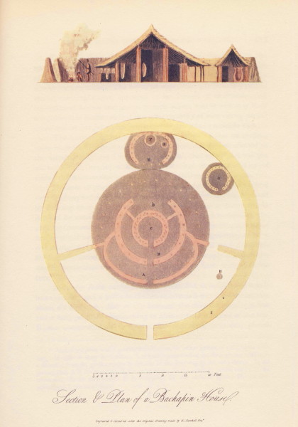
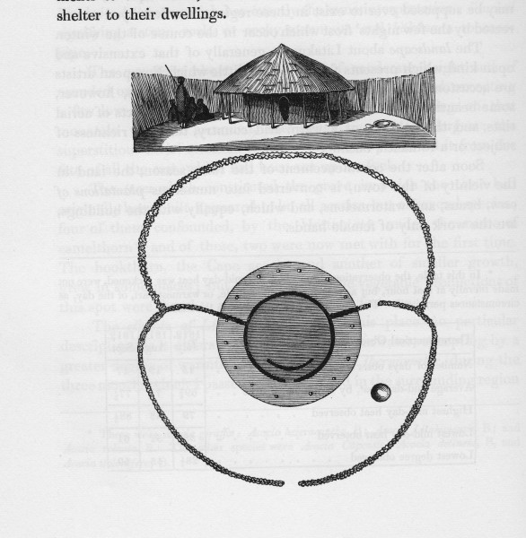
Burchell has this plan and section view of a Buchapin hut. On the outside is a wall of woven tree branches enclosing the ‘erf’, also to be seen in the Daniell pictures. In the drawing the entrance into the front yard is at the bottom of the picture. Burchell writes
Plate 9 is a plan, with a geometrical elevation, or rather section, of a bachapin dwelling. In order to show its structure, it is here represented as cut through-jar to the side of the door-way in the outer fence. In the ground-plan, A is the veranda; b, the outer room; c, the inner, or central room; D, the storeroom; E, the corn-house; F,F corn-jars; G, the servants’ house; H, the fireplace; and I, the outer fence.
I have shown that Burchell was an excellent cartographer. Here he displays his abilities as an architect and draughtsman.
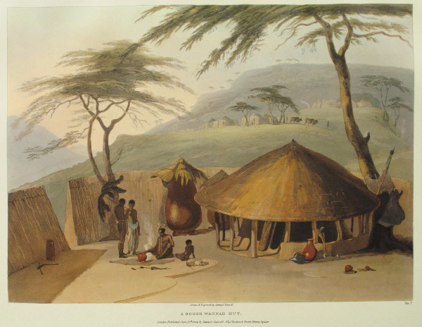
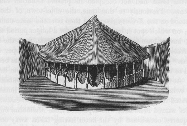
An engraving of a hut of one of the chieftans. Burchell remarks that it was much more modest than many of the other huts at Litakun (2:521). Status was earned by your social behaviour it seems and not by your outward appearance as is now the custom. The yard enclosed by the reed fence had a public front section and a private rear section. There was a screen wall inside the house so the interior was not visible from the outside.
An engraving of a ‘Bachapin’ hut.
I stated that the ‘Bachapin’ men spent a lot of time talking. Burchell includes this engraving of himself at one such meeting.
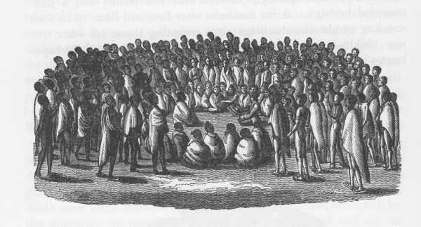
The chief endlessly demanded, at such meetings, that Burchell trade a musket as the locals felt very threatened by their neighbouring clan who had recently obtained muskets (2:376). This haggling and demanding continued until they obtained one by a ruse (2:405).


.
No comments:
Post a Comment