We got up a bit later today as the energy levels were not what they were supposed to be. Continuous late nights take their toll I guess.

A quick stop in Elliott to say goodbye to Glen and we were on our way, heading West.
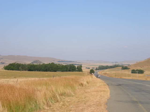
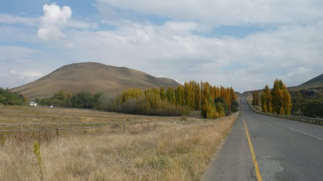
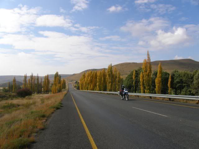
Tar roads unfortunately but still scenic, this being the Eastern Cape.
Riding past the Otto du Plessis Pass and Barkers Neck Pass turn-offs were heartbreaking, but what can you do? I'll just have to come back.
We ride through Ida...
... and past Indwe to Dordrecht.
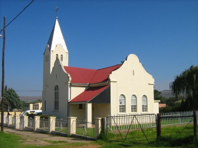
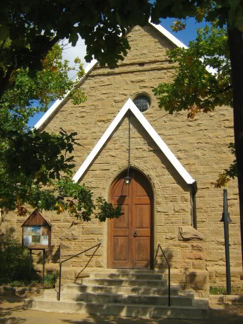
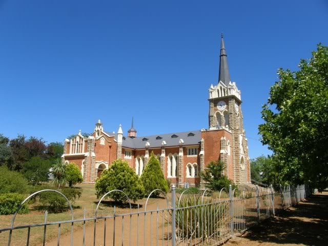
The picturesque little town of Dordrecht was established in 1856 as a Dutch Reformed parish and named after the town of the same name in the Netherlands. During the Anglo-Boer War, burghers from the Free State annexed the town and declared it part of the Free State. However, after the war it was reintegrated into the Eastern Cape.
I have been wanting to see this town since my friend Eisbein rode through here a couple of years ago.
Rural towns like these all have beautiful churches and the steeple is often the first thing you see as you approach a town. The Church can also be an indication of whether the town will be interesting and have a rich history. You could almost say that the church is the "face" of the town. The first impression. The thing that get's photographed.
Dordrecht makes a good first impression.
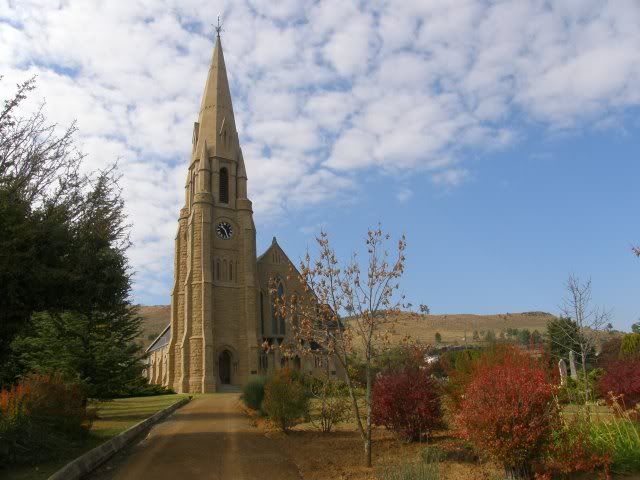
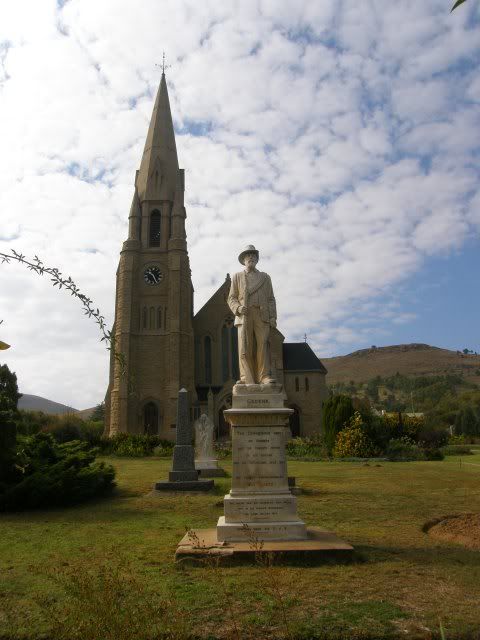
The Burgher Statue in front of the town’s Dutch Reformed Church is a monument to the Boer victims and casualties of the Anglo-Boer War. The inscription reads:
"Ter gedagtenis aan die Burgers wat die duurste offer op die altaar van die vaderland gelê het. - Die Tweede Vryheidsoorlog 1899-1902"
I am sad that we don't have more time to spend in these interesting towns, but we refuel and head out. Scenery on the way to Molteno:
(Photo by Gryph)
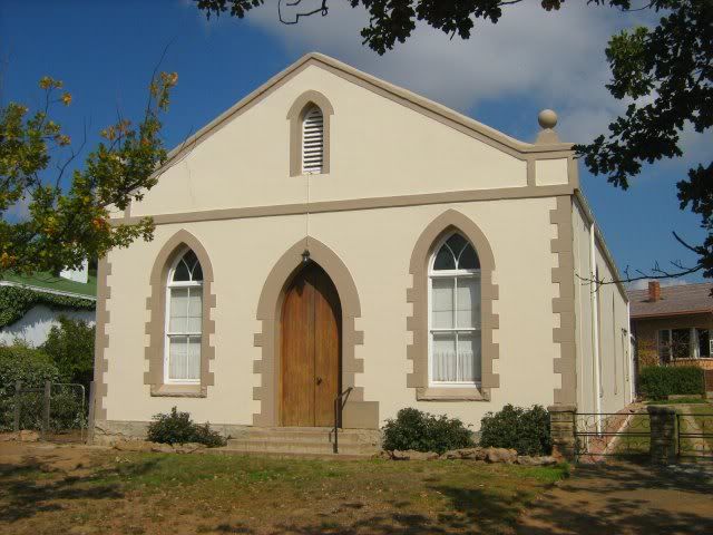
Molteno has some interesting churches of it's own:
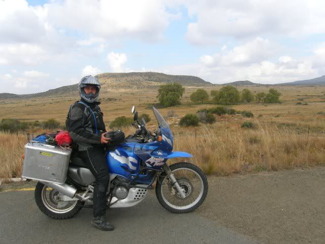
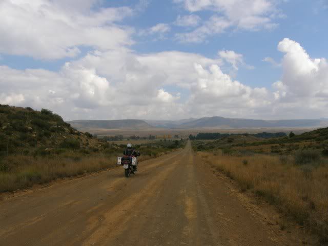
Still heading West away from the Drakensberg the landscapes start leveling out. Gryph enjoying the ride:
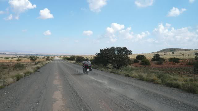
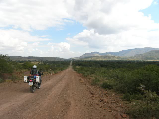
Having had enough of the tar roads we hit the first gravel on the way to Hofmeyr.
(Photo by Gryph)
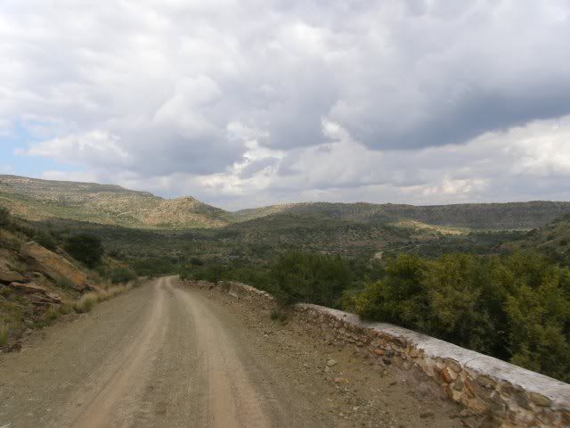
And all of a sudden we come across this:
Our maps did not indicate that there are a pass here, but we're so glad there are! Score!!!

The Grootdoornhoek Pass runs over the Bamboes Mountain Range in the Karoo.
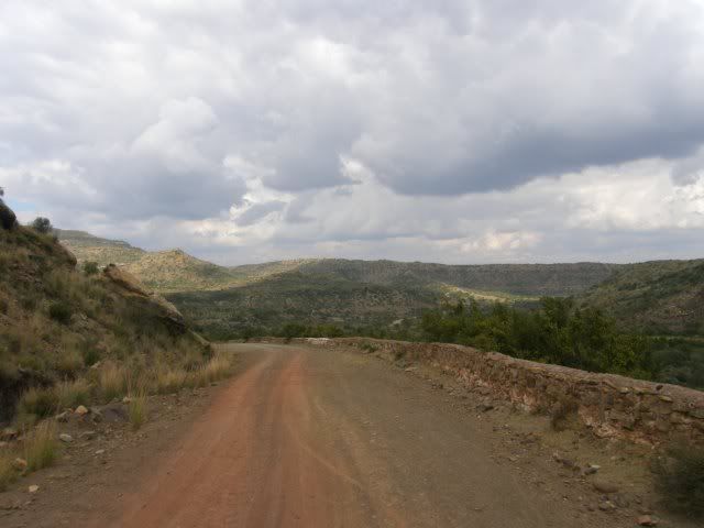
This beautiful mountain range begins in Molteno and forms part of the Drakensberg escarpment, which splits into the separate ranges of Stormberg, Bamboes, Suurberg, Nieuveld and Komsberg as it enters the Eastern Cape.
This surprise made my day.

Having done some research on this pass after my trip I came across this:

This is a waterfall on the pass. We did not see it but I'll be sure to look for it if I pass here again. The photo is from this website.
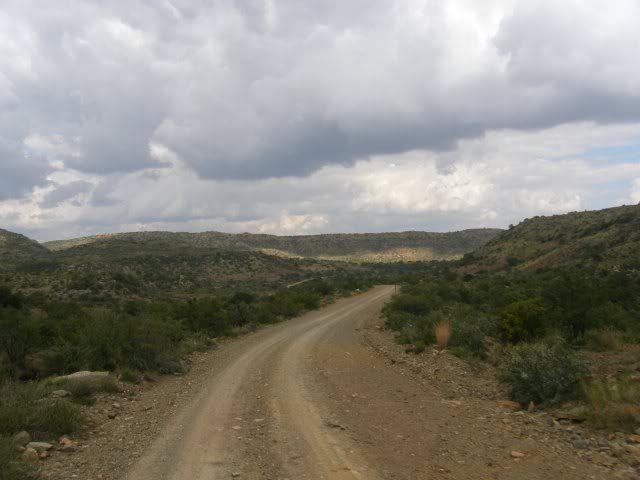
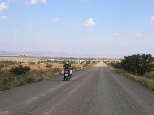
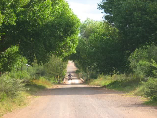
Being back on gravel the frequency of photos also increase significantly.
Scenery towards Hofmeyr:
And there lies the pretty little town of Hofmeyr in the shadow of the Bamboes Mountain Range in the Karoo.
Originally called Maraisburg, this town was established in 1873 and renamed after Jan Hofmeyr, a linguist and champion of the Afrikaans language.
The face of Hofmeyr:
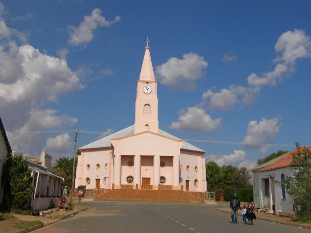
This church is not as impressive as some of the churches in other towns, but it's pulpit has an interesting story. Before it was installed the pulpit was used at the christening of Paul Kruger, the last president of the Transvaal Republic. Wow! Now there is something to boast about!
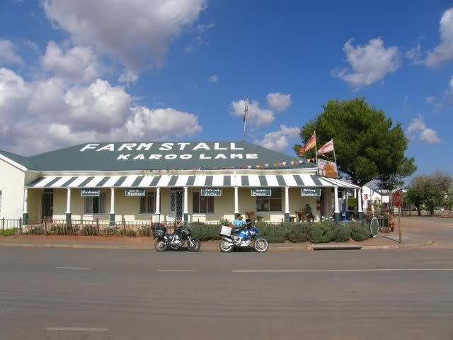
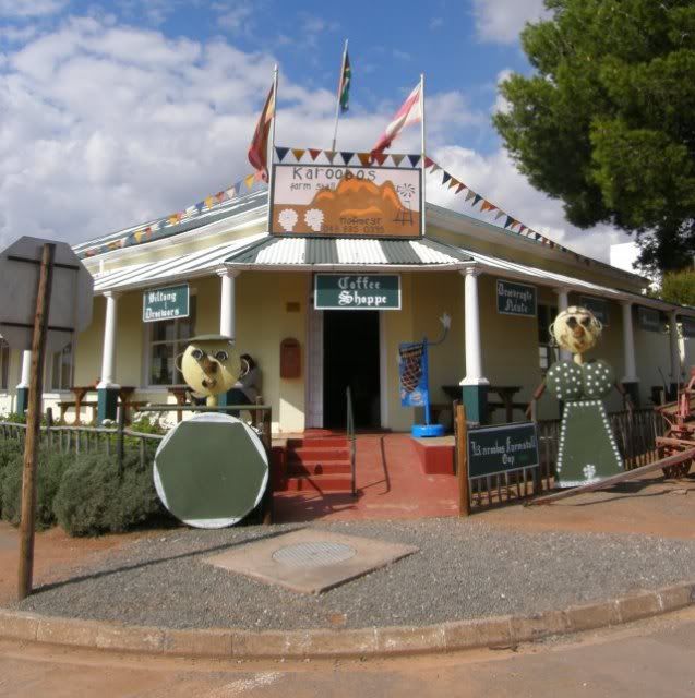
It was lunch by now so we stopped at the Karoobos Farm Stall for some boerekos.
Hofmeyr is also closely tied to the discovery of the Hofmeyr Skull, a 36 000 year-old homo sapien skull found in a dry channel bed of the Vlekpoort river, just outside Hofmeyr. The skull supported the hypothesis that humans evolved in Africa before 200 000 years ago.
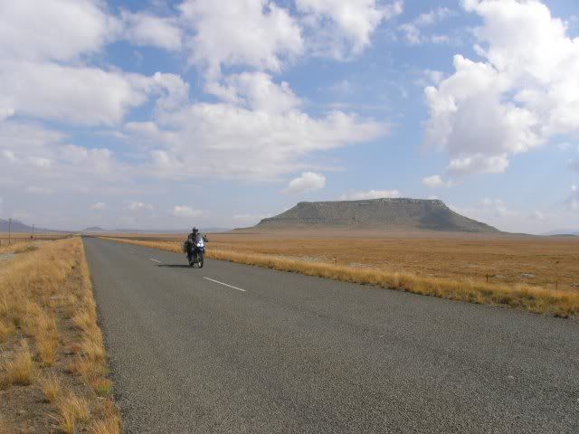
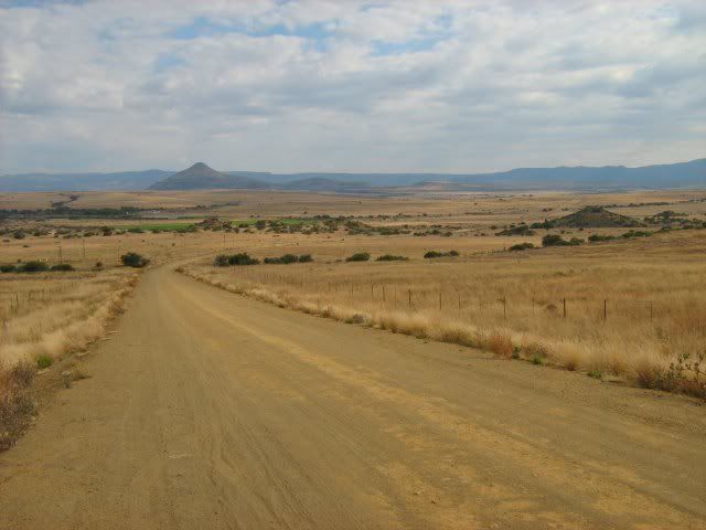
With full tummies we head further West into the Karoo:
The landscape seems flat, but surprises you every so often with something like this:
This is the Grootbrak River. No, not the one near George, the one near Hofmeyr.
I certainly didn't expect to find a river of this size here. The river runs into the Grassridge Dam.
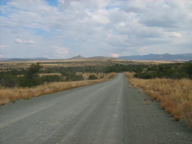
More Karoo gravel highways. You don't really lose time travelling by gravel in the Karoo as the gravel roads generally are in good nick.
The scenery also varies as you ride along.
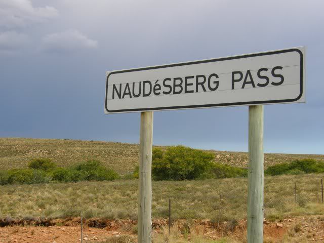
Eventually we link up to the tarred R61 between Graaff-Reinet and Cradock and travel over the Wapadsberg Pass (English: Wagon Tracks Mountain).
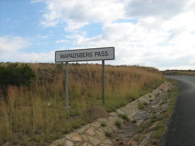
Wapadsberg Pass links up with the N9 and takes us to Graaff-Reinet via Naudesberg Pass:
In-ride perspective:
It was late afternoon by now and George was still 350km away. We were well and truly fatigued and a phone call revealed that it was raining in the Southern Cape. Decision time. Do we continue or do we sleep over? Continuing to George would mean riding fatigued in the dark and in rain, risks unnecessary to take. Gryph really REALLY wanted to sleep in his own bed that night though. Just then Bentap, who were in our group to Wartrail (Africa Twin), stopped next to us. You guys are sleeping over at my place tonight!
This offer could not have come at a more opportune time! 
Gryph had other ideas though. He wanted his own bed and that was that. It's been a long trip and he wanted to get home. So he decided to continue alone into the night despite the offer of free lodging - a decision that had me really worried.
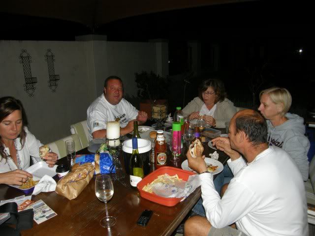
Bentap also invited Hamster over for dinner and we had a nice evening chatting about the trip to Wartrail.
Real Camdeboo hospitality:
Our worries were put to rest when Gryph phoned later. He rode in the dark, in rain and in heavy mist but he made it home safely.
And tonight I did get my early night.


Source: Eastern Cape
.
No comments:
Post a Comment