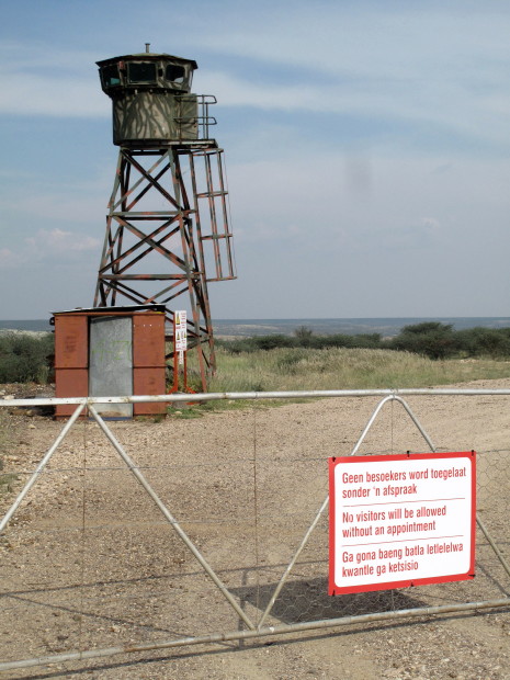
After Griekwastad where I had a beer I headed down towards Douglas again. I did a 40km diversion to the west as that is where Burchell forded the Gariep. That area is heavily fenced as it is now Wouterspan Diamond Mine.
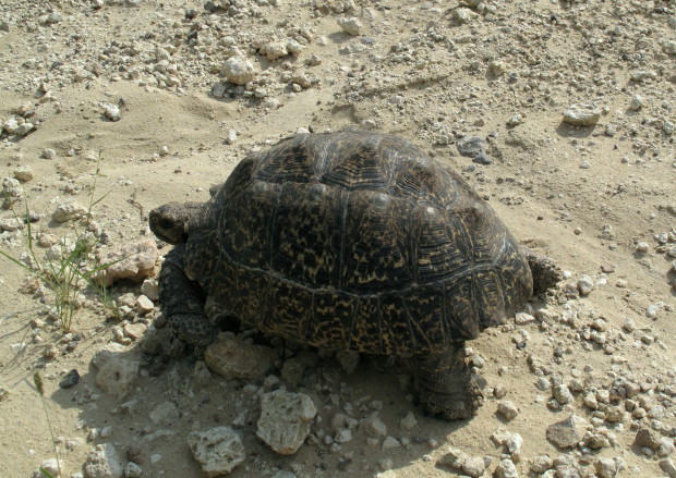
Saw this big tortoise on the way back from Wouterspan. Many tortoises in the Western Cape but I think they are not nearly as common up here.
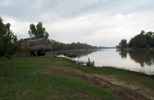
I stayed at a pretty fancy resort outside Douglas. Their bar/restaurant is at the river’s edge & had been 3m underwater some weeks ago when they opened the sluices at the Vaal Dam.
I tried to camp one night then stay in a self catering the next where I could wash my clothes and work on my computer (trip log, photos and Garmin) Slept well in the expensive place. Had my phone on to see the time. 2 sms during the night – did not read until morning. My grandson was born at 2h20.
The river is wide and sluggish here because of a barrage a little downstream.
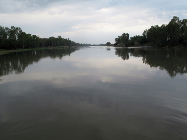
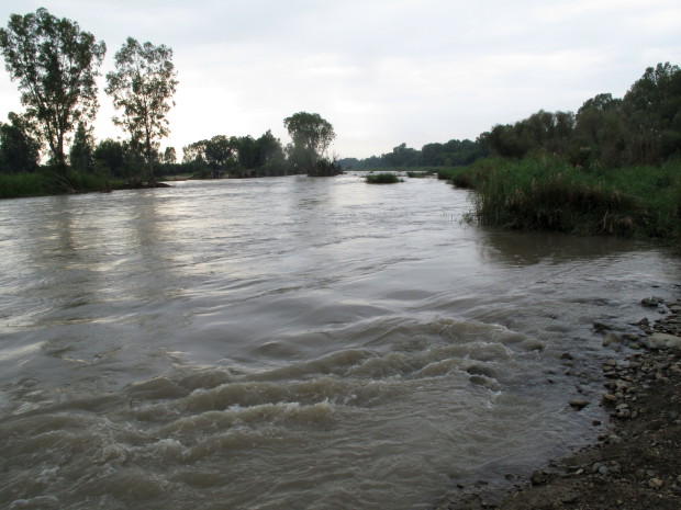
I wanted to see the barrage as it has an interesting shape. I got to the river; you can see it is flowing properly here as I am downstream from the barrage now.
I am going to write a little about the Gariep to Sundays Transfer Scheme later. It includes this diagram which also shows the little Gariep to Vaal transfer scheme I was wanting to see.

http://www.dwa.gov.za/orange/mid_orange/fish-sun.aspx Source for excellent description & map.
I think that canal is the one bringing water across from the Gariep. Right alongside the river in another much smaller canal in amoungst the trees. It was the track alongside that little canal that I was trying to ride. The trail up to the weir had been heavily washed away & was thick black & exceedingly slippery mud. No prizes if I got stuck in the sloot by myself so I abandoned that quest.

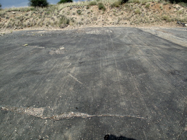
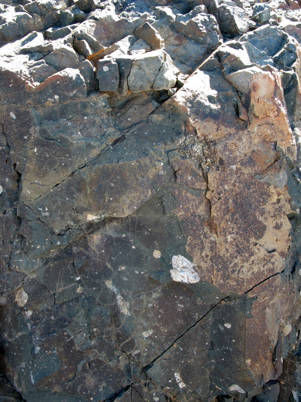
I then went on another 40 km diversion to try and see the other side of where Burchell crossed the Gariep. On the way I saw a sign to the Glacial Pavement so I turned off & had a hell of a time actually finding it (keep right if you go there but it is on T4A ). This is how big the exposed part is.

Here you can see the grooves made by hard stones as they were dragged across the pavement.
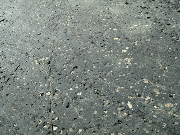
Here you can see the hard pebbles in the pavement have been ground down by the grit in the glacier as it moved over the pavement.
I once wrote about the Geology of the Karoo which included this picture (notice the note on the left).
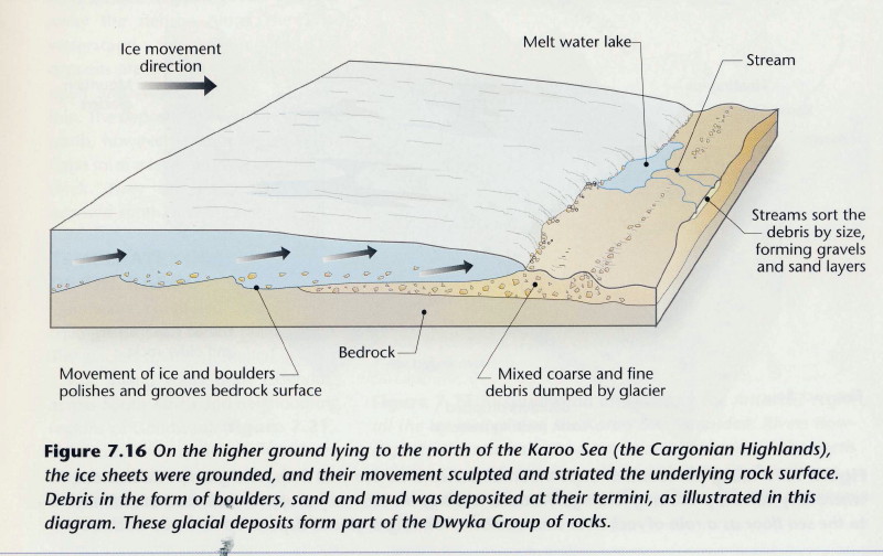
That explains the scratches and flat surface. Here is another diagram from there showing how the base pavement rock was formed (notice labels ‘fine rock flour’ and ‘boulders dropped from melting icebergs’)

This picture from an earlier ride report of mine shows similar pavement rock in Prince Albert as this was before being glaciated.
The grey is the rock flour made by the glacier as it slid down the mountain (labelled fine rock flour in the diagram) and included are the stones and pebbles – all those white specks are not lichen; they are the ‘boulders dropped from melting iceberg’ in the diagram.
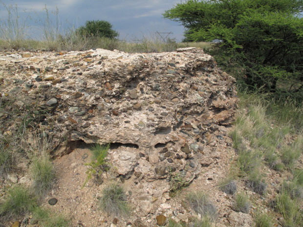
While trying to find the glacial pavement I came across this. Would any one who knows about it please post what it is. I appreciate that it is sediment but what is the matrix and when/how was it laid down.
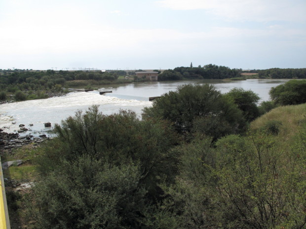
This is the Gariep river. That is the weir and pump station feeding the water across to the weir I tried to get to on the Vaal.
The weir is upstream from the road bridge. Downstream is the old bridge. Another pretty bridge like the one at Schmidtsdrif.
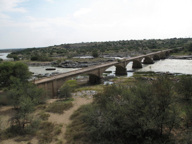
I like bridges and wrote a report on some that I saw when motoring across France including the world’s highest bridge
*here*
When I got to opposite the diamond mine I was again lucky to find a pivot irrigation farm & it was Sunday so I could ride around no problem. There were dubbeltjie everywhere except in the tractor spoors; I kept having to stop and brush them off my front tyre. No problem with the back as I had converted to tubeless that end. This is about where Burchell crossed.
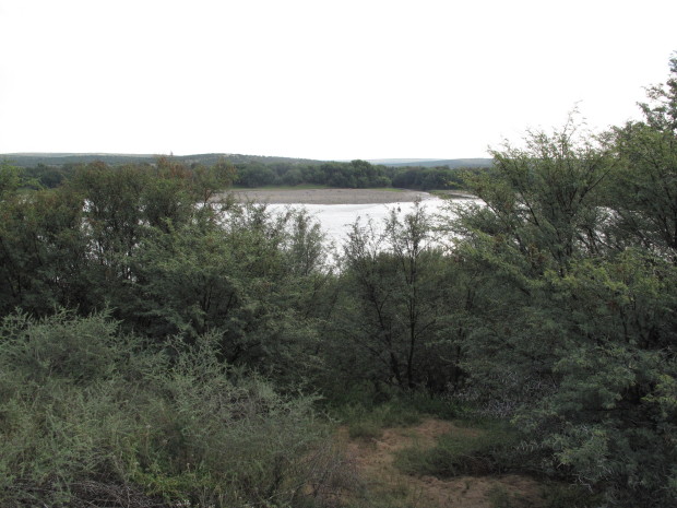
The thorn bushes were so close together I could not get a better view. I tried to check a bit further downstream as I could see the diamond workings on the other side. It seems they own the land on this side of the Gariep too as there was a big fence again but no sentry towers. Then a long road to Hopetown.
The Gariep at Hopetown. It is usually said that the first diamond was found here in 1866. The Readers Digest ‘Atlas of Southern Africa’ marks the actual site much closer to Douglas.

After crossing the Gariep where the diamond mine now is Burchell followed along the southern bank towards the confluence at Douglas then cut across to what he called the Nu-Gariep (Gariep above the confluence with the Vaal) past present day Hopetown to Fluitjieskraal which is about where Orania now is. He then turned south towards Graaff-Reinet.


.
No comments:
Post a Comment