.
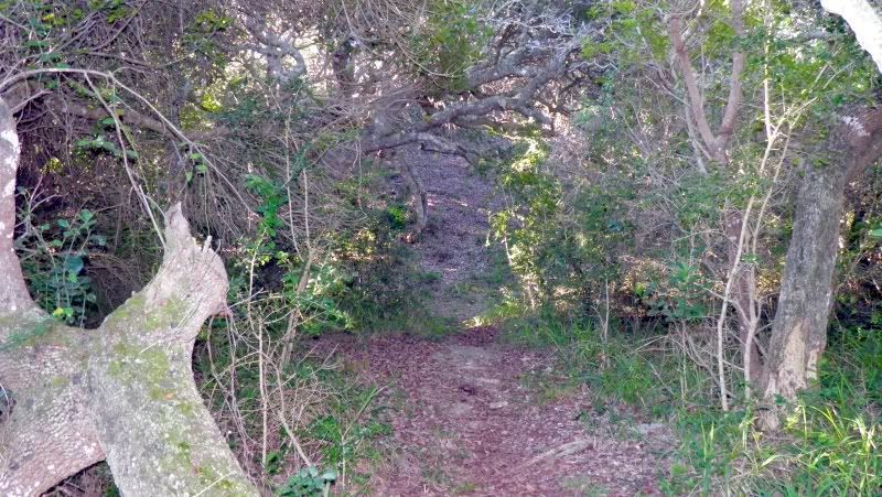
Another Day ride, but this time something different than usual. No route or historic pass. In fact it's roads we've all ridden before. Even some (shock! horror!) tarred roads.
I recently found Lou's Traveling Canadian Forces Geocoin. What a beautiful coin:
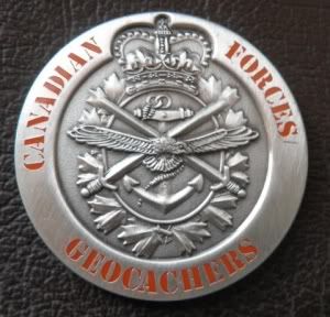
Geocoins (and Travel Bugs) are called Trackables in die Geocaching community because they can be tracked via the internet as they travel the globe. Some of these Trackables have certain goals, but this particular geocoin just wants to travel around the African Continent.
It started it's journey on 15 November 2007 in British Columbia, Canada and has travelled over 38 000km since.
 A map of it's travels can be seen here.
This is the first trackable I am moving along so I plan to leave it in a beautiful and deserving cache.
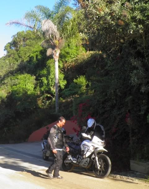
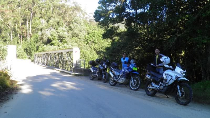
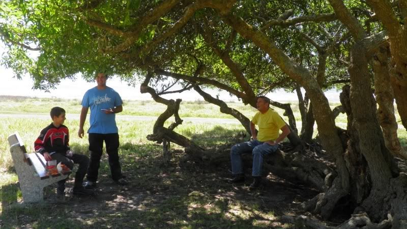
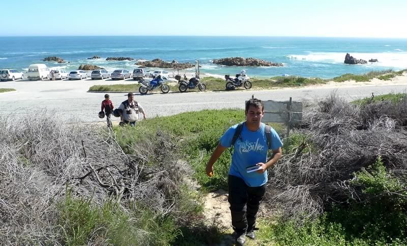
So on today's ride we have:
LGF, Myself (taking the picture), Asterix (holding the Geocoin) and Gryph.

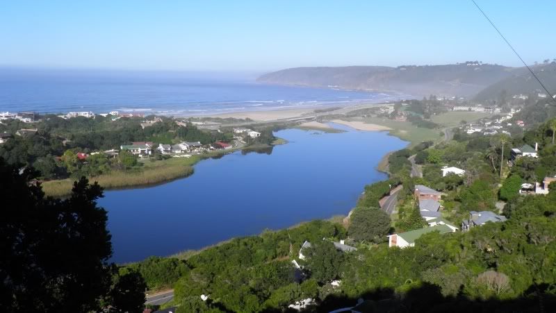
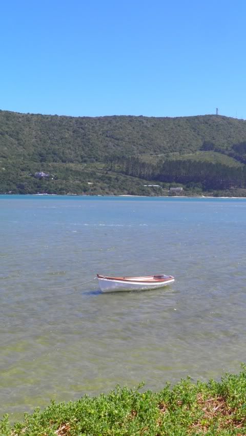
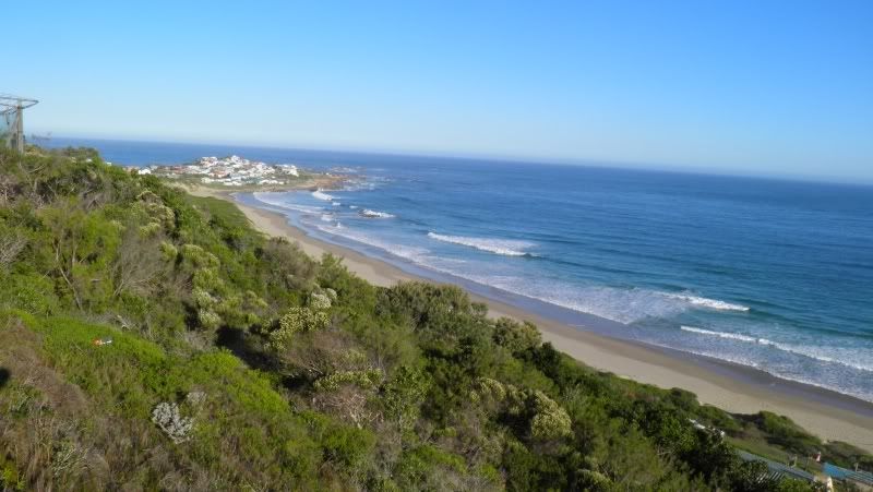
Our first geocache for the day is called "Over the Lagoon". Both Gryph and I have found this before, but it's a beautiful spot, it's on our way and this would be LGF's first ever find.

We didn't show him where it was either.
The view "Over the Lagoon":
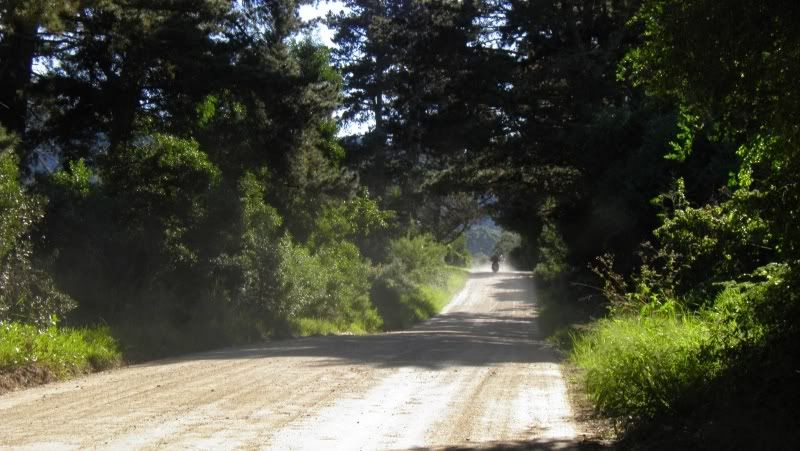
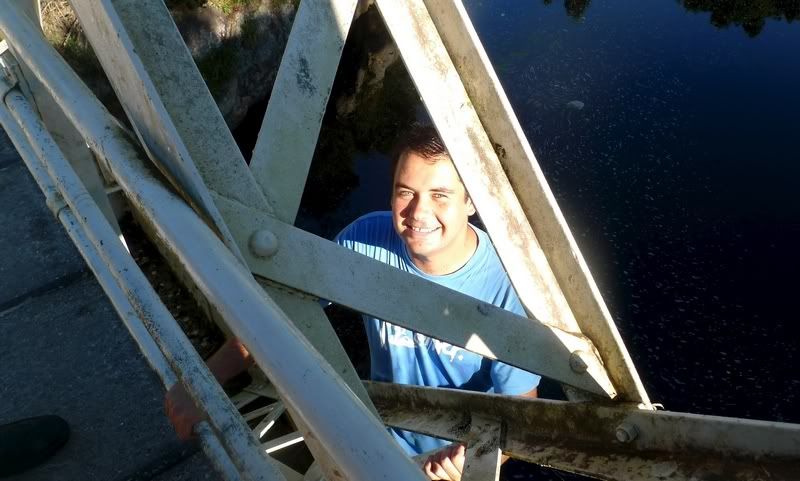
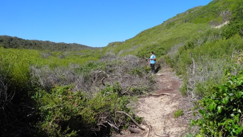
Next we hit the gravel on the Old George - Knysna road to the cache called "HoneyCache"
Honeycache is situated on the Touw River bridge.
This is the last surviving iron bridge on the old road (Seven Passes road) between George and Knysna. The ironwork of the 95ft clear span was built in 1897 by Messrs Braithwaite and co. of West Bromwich, England and shipped out to Mossel Bay. It was then conveyed in fourteen wagon loads to the site over two months. The estimated cost of the ironwork was 3850 Pounds and the approximate weight of the entire bridge was 57 English Tons. The completed bridge was opened for transport in 1898.
View from the bridge:

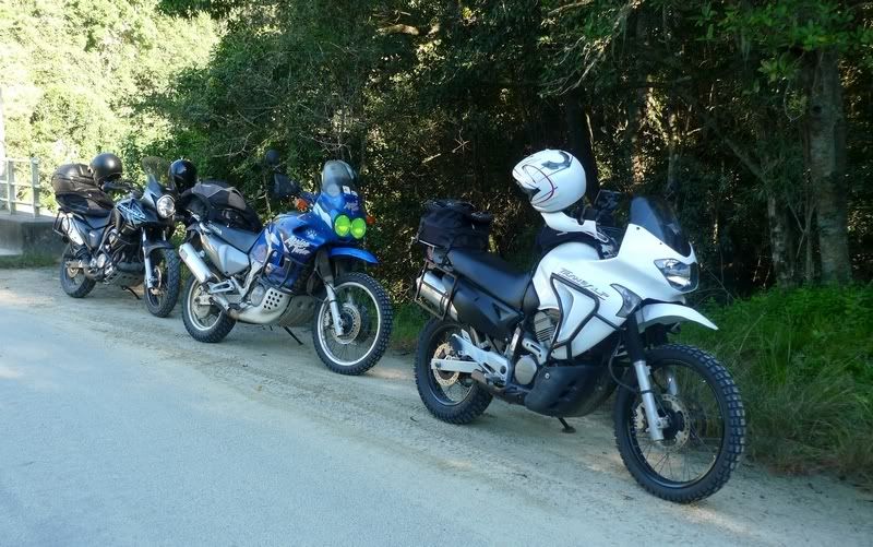
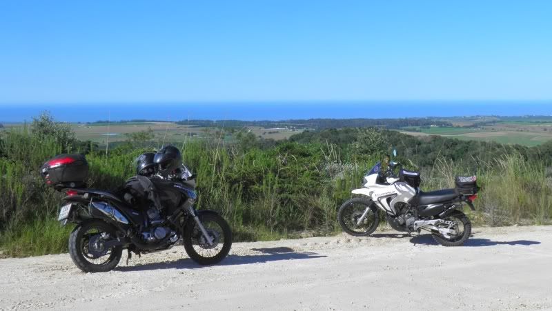
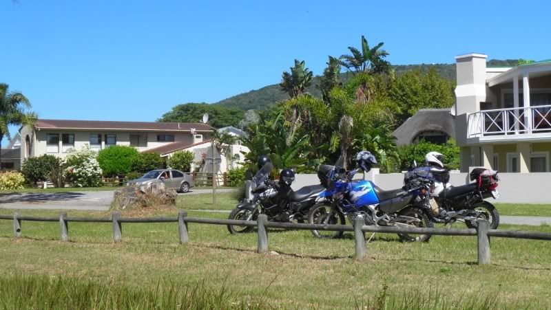
And the views weren't the only beautiful things here. Our Trusty Steeds - 650, 700 & 750 V-Twins.
(Photo by LGF)
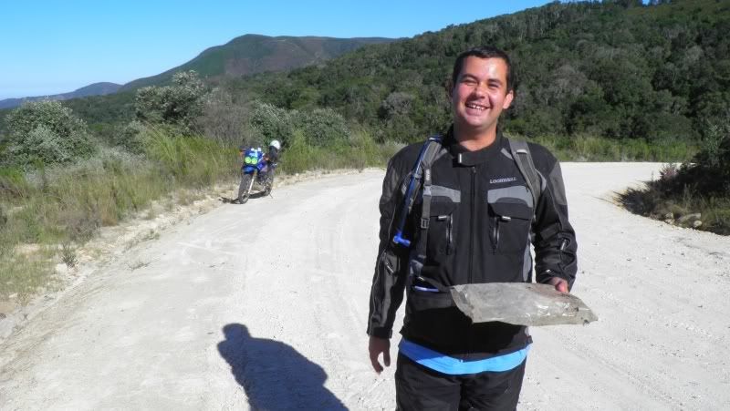
This cache required some climbing...
(Photo by LGF)
I thought about leaving the Geocoin here, but decided against it as this cache had been stolen before and also ran the risk of falling in the water.
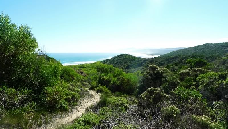
The day was heating up and we needed to get moving. Our next destination: "Bergplaas View"
The description says that this Cache is at a viewpoint with a wonderful view of Hoekwil and surrounds. They weren't lying:
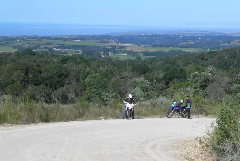
At this point it became clear that LGF and Gryph's GPS's had totally different ideas of where we should be. Gryph was sure we were at the right spot while LGF was sure we stopped 2,4km short.
 That's quite a distance apart.
 Guess who was right.
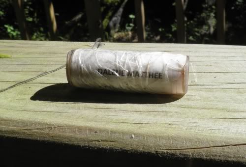
Our next / fourth cache was one I particularly wanted to find. It turned out to be one of the highlights of the day: Dalene Matthee.
Dalene Matthee was born in Riversdale in the Southern Cape in 1938. She was a South African author of 13 books who wrote mainly in Afrikaans, although her books were translated into fourteen other languages.
She once took a hiking trip through the Outeniqua hiking trail around Knysna. Her curiosity led to a journey through the stories and studies of these indigenous forests. In the end, she gathered enough material for four books. The first, "Kringe in 'n Bos" (Circles in the Forest) was an instant success and soon "Fiela se Kind" (Fiela's Child) followed. Wonderful stories set in these forsets that won her numerous awards.
She had a direct influence in my generation as some of her books have been used as prescribed books in schools for over 20 years.
On 20 February 2005, Dalene Matthee died unexpectedly of heart failure in Mossel Bay. Her last resting place is Krisjan-se-Nek, one of her favourite spots in the Knysna Forest. Her ashes were also scattered here.
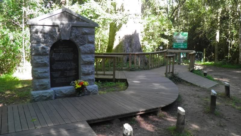
After Dalene's death, Mr Kitto Erasmus, former regional director of Environmental Affairs, suggested to the Matthee family that they should erect a memorial for Dalene in her beloved Knysna Forest. Mr Erasmus assisted Dalene with her research for Kringe in 'n bos, Fiela se kind and Moerbeibos (The Mulberry Forest).
On 23 February 2008 Dalene Matthee's memorial was unveiled at Krisjan-se-Nek. The memorial was a joint undertaking between the Matthee children, SA National Parks and Tafelberg Publishers. The memorial was designed by Trevor Clift and the inscription on the stone was done by hand by the only artisan in the Cape who still does "V-cut" chiselling: the Italian Mick D'Aquanno.
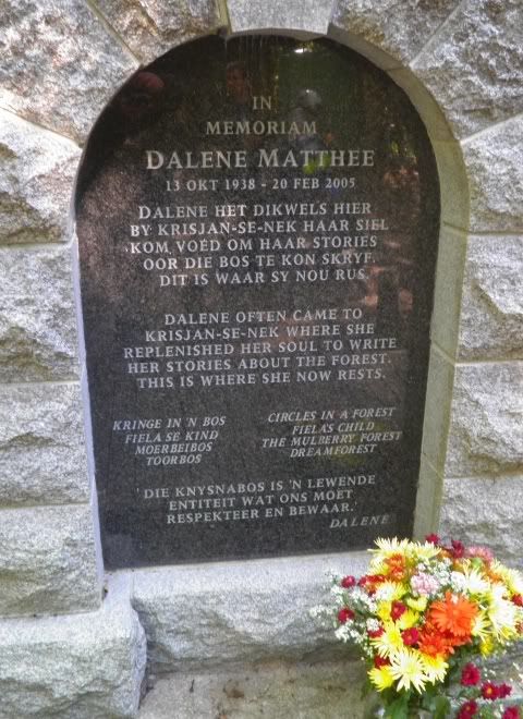
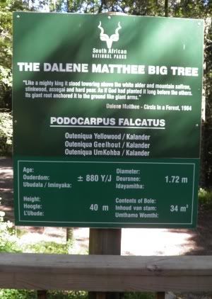
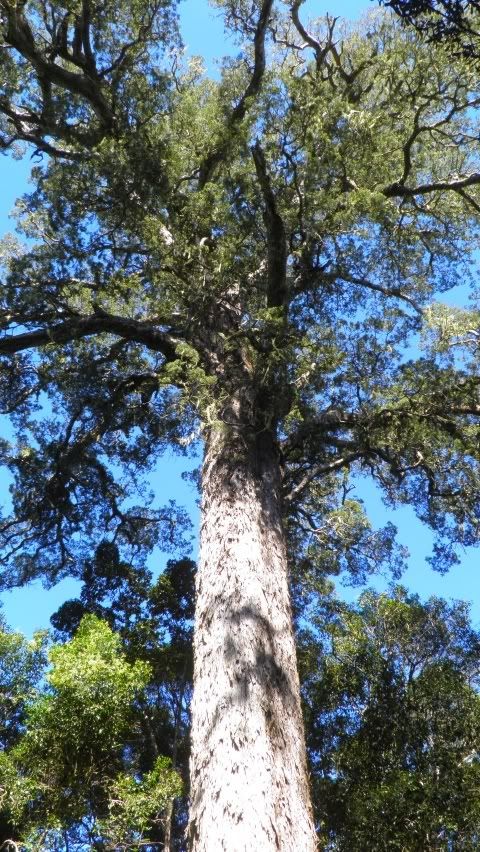
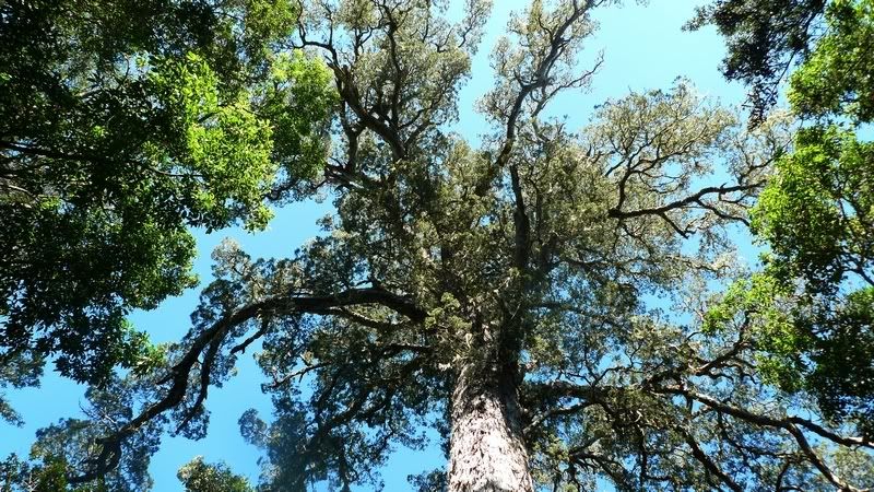
At the unveiling of the memorial, the enormous Yellowwood tree of over 880 years at Krisjan-se-Nek was named after Dalene Matthee. Hence, it is now called the Dalene Matthee Big Tree. The name of the hiking trail starting at Krisjan-se-Nek was renamed and is now called the Circles in a Forest Trail.
(Photo by LGF)
What a find. I have ridden / drove past this spot to Jubilee Creek several times, even recently, and never knew this memorial was here. This find alone made the day worthwhile.
This would have been a perfect spot to drop the Geocoin, but alas, this is just a small cache.
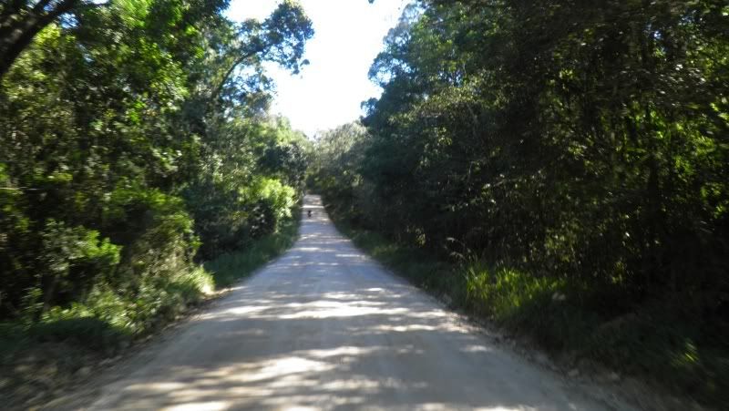
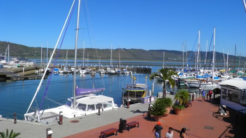
It was almost lunch by now, so we rode to Knysna via Phantom Pass for lunch at the waterfront.
After lunch our next stop was on Leisure Isle at a cache called "Little Paradise".
Another beautiful spot and easy find.
Steenbok Island (Leisure Isle) was the property of George Rex from 1821 until 1929 when it was purchased by the American George Cearn, the shaper of the Island's destiny, for £7,000. He developed a vision of turning the uninhabited little island into a place where people could live and build their homes, raise their families and retire in idyllic surroundings. He re-named it Leisure Isle, and set about turning his dream into reality.
Connecting Leisure Isle to the mainland and securing its perimeter from the corrosive power of the waves and currents was the first priority. Mr Dantjie Keyter, a massive figure of a man, was employed as foreman and he recruited a labour force of some fifty short-term prisoners from the local jail by paying their fines and making them free men. They were paid half-a-crown a day and received a hearty meal cooked by Dantjie's wife. They quarried stone from a hillside on Woodbourne Farm (the scar is still visible as you leave the Island) and for three years they toiled, building the causeway, the road foundations and the sea wall that encircled the Island. Three hundred plots were offered for sale and over the next fifty years Leisure Isle grew and evolved into the special place we know today.
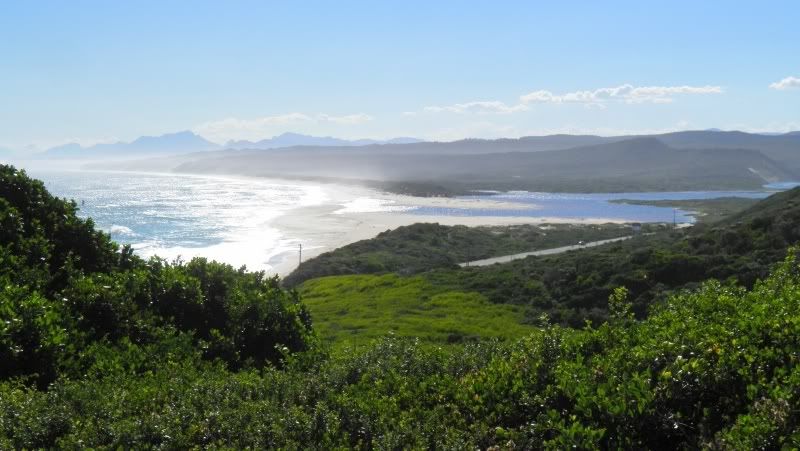
Some of the views from the island:
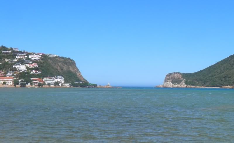
The Knysna Heads:
Next stop, the nearby cache called "chill out". This was another easy find and we chuckeld about the cache hint.
 Those who have been here would know.
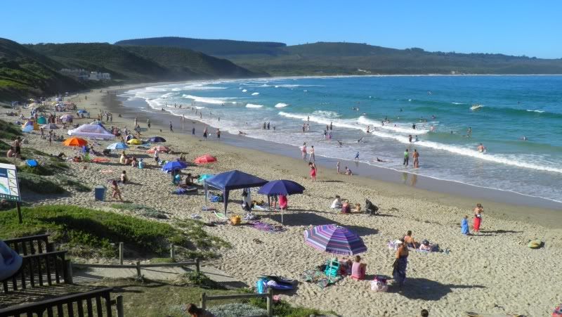
Knysna's most well known attraction is its Heads - two great sandstone cliffs guarding the mouth of the lagoon which connects the estuary with the sea.

The Heads area has 3 Geocaches, one of which is a multi-cache that according to the site takes at least an hour to find.
We found the first clue of the multi-cache but realized that time was not on our side, so we decided to leave all the caches here at the Heads and come back here some other time for lunch and the "Head hunt".
And so we head West towards Buffalo Bay to find the cache called "Adolf's Memory".
Now this is a cache that I researched beforehand. It's on a walking trail, but I knew that you could stop quite close to it. Another discrepancy between the GPS's of LGF and Gryph had us stopping at the start of the walking trail, but Gryph assured me that we were no more than 400m from from the cache. Well, how bad could that be?
Quite bad actually...
A GPS measures the distance from the cache as the crow flies. This meant that although we were "400m" from the cache, the walk was likely 4 times as far.
 Also, it does not tell you that the elevation of said cache is quite a bit higher than your currant position.
 The start (ignorance is bliss):
(Photo by LGF)
A little further along (are we there yet???)
Higher and higher still...
(Photo by LGF)
When I started this hobby one of my motivations were to walk more as I am over weight and hopelessly unfit. Well, be careful what you wish for...
We parked our bikes at sea level. This will give you and idea of how high the dune is we had to climb:
And it was over 30 degrees Celsius. I almost died.
And to add injury to insult, when we got to the top the trail exited onto a tar road next to the cache. We could have ridden here!!!

The last bit to the cache:
This was a beautiful cache in a beautiful spot, but being so tired I totally forgot that I still had to place the Geocoin. Maybe it wasn't meant to be in this cache.
Luckily walking down on tar was MUCH easier than walking up on sand.
And as it turns out the next cache, "Beautiful Buffalo Bay Beach", is right next to the place where we parked our bikes. It's a multi-cache also and the first point was right there. Easy find.
Looking at the second waypoint and reading the info it said: "It may take 5-10 minutes to walk on the nice beach to reach the point."
And that sentence concluded our day.
What a nice and enjoyable day. Looking at the pics alone makes one realize what a beautiful part of the country we live in. And we did see places we have not seen before. This will not be the last "Geocaching Ride".


Sources: Dalene Matthee; Leisure Isle
.
No comments:
Post a Comment