The next day was spent at the SA Karate Championships.
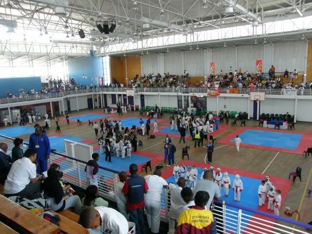
Asterix did much better this time round and although he didn't podium, he did make the team to represent South Africa at the World Karate Championships to be held in Portugal in 2010.
 The 2nd good day of my long weekend.
The next day with lots of passes, lots of scenery and lots of friends awaited.
The third morning I was up early. I met Eisbein and we rode (along the yellow route) to the Peregrine Farmstall near Grabouw where today's ride would start.
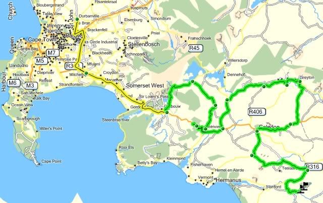
I am not in this area often so this opportunity for a get together could not be missed. Our group of friends organized a little get together at Salmonsdam. My friend R.O.V.Rat also organized us a nice winding ride over 8 passes on our way to the campsite, so on today's ride would be:
R.O.V.Rat - Suzuki DR250 (Ride leader)
Kreef - BMW GS650 Dakar
Oom Fou-rie - Honda XL1000V
Kola - BMW GS1200
Eikeboom - Kawasaki KLE500
Trailrider - Honda XL700V
White Stripes - Yamaha XT660
Merrycan - Pillion
Eisbein - BMW GS1200
Generaal - Honda XL1000V (Sweeper)
Firecoast - Pillion
And we would be joined later by Mountainboy and Mountaingirl on their Suzuki 650 V-Strom.
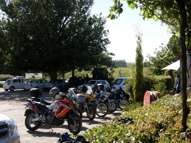
Soon everybody was present and the ride could start. The first regroup:
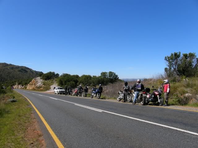
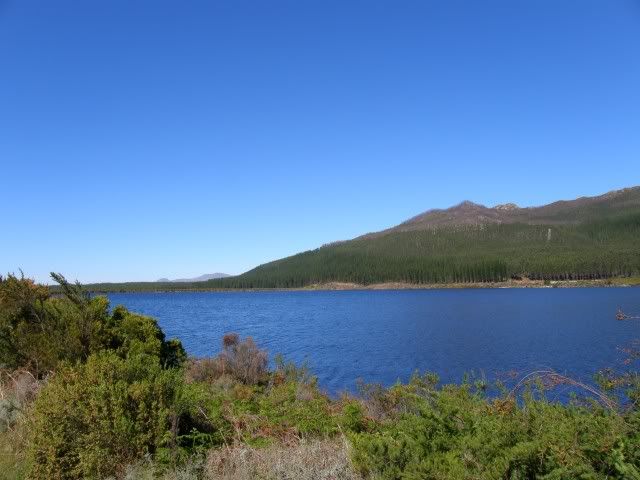
Some scenery along the route - The Eikenhof Dam.
Our first Pass for the day was Viljoen's Pass.
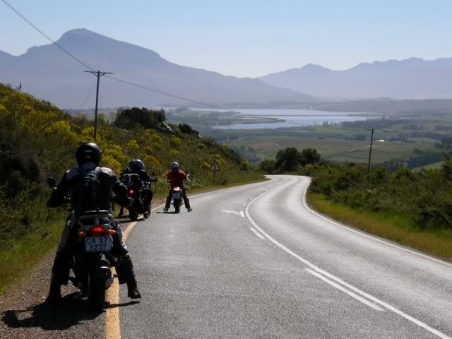
Dr Antoinie Viljoen was the founder of the apple industry in 1902 and it is appropriate that the winding pass between the Hottentots Holland and the Groenlandsberge should be named after him. Although the road today follows a slightly different route from the original one, the views from the crest over the fruit farms to the south and the dam to the north, are magnificent.
This is close to the top looking towards the Theewaterskloof dam.
Kreef's clutch cable snapped here
 and he turned back to Somerset West to have it fixed. Was nice meeting you Kreef
 And finally the first dirt of the day - the turn-off towards Van der Stel's Pass.
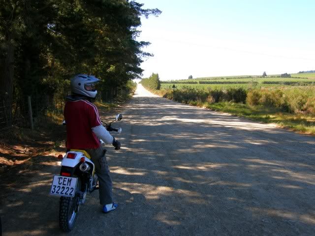
Lovely scenery along this pass as well.
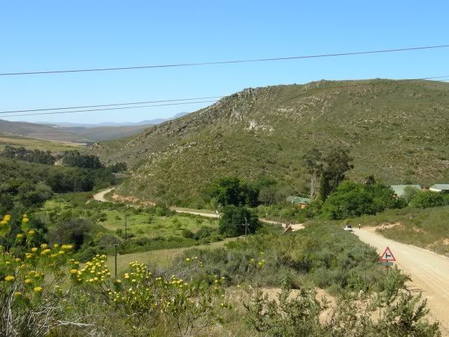
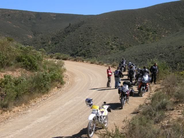
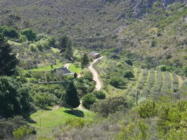
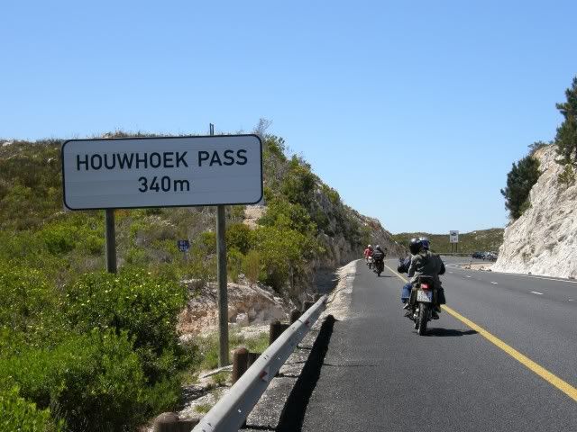
Van der Stel's Pass took us all the way to Bot rivier where a special treat waited - The Old Houw Hoek Pass!
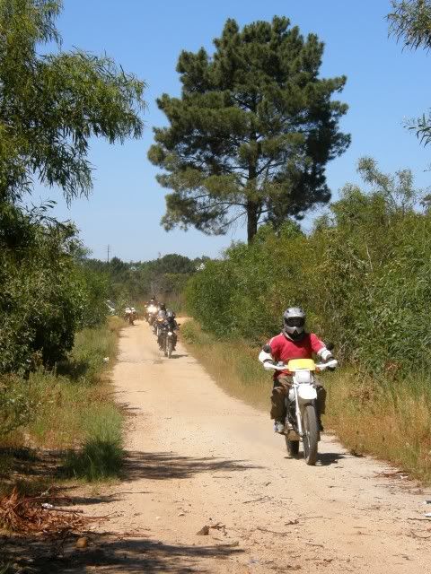
Houw Hoek Pass was first constructed on a meager budget of 600 Pounds Sterling by colonial engineer Sir Lowry Cole.
15 years later, in 1846, Andrew Bain reconstructed the crumbling roadway, spending £4,211 on the job.
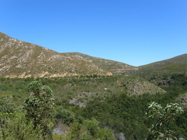
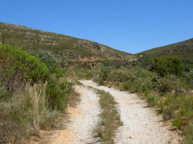
Bain's pass was in use for the next 50years or so but it was considered quite dangerous all the same.
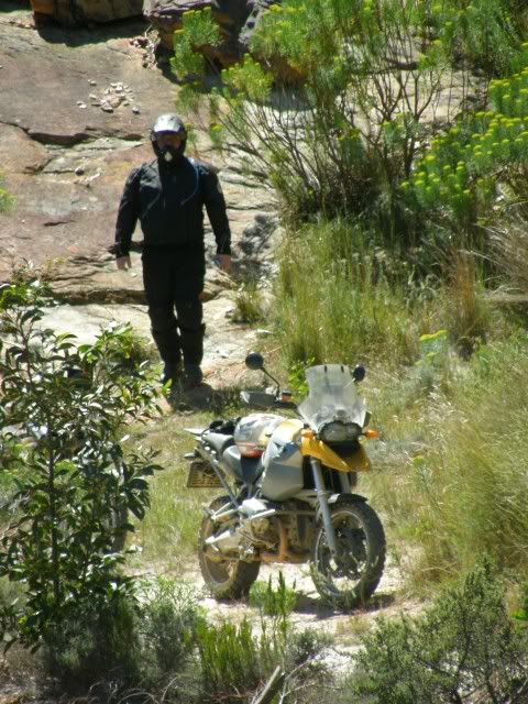
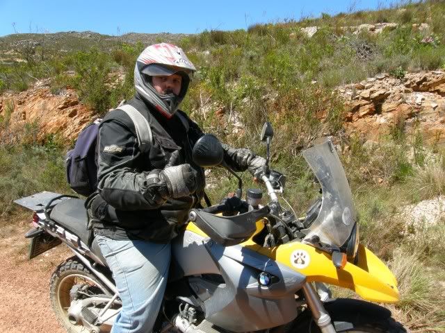
It wasn't all history though. Lots of laughs, scenery and some mud and sand just to keep it interesting!
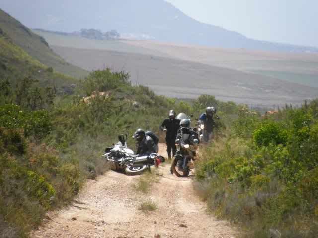
In 1930 the pass was again rebuilt with the hope of making it safer. In 1976 the pass was rebuilt for the last time. This time with four lanes and much smoother gradients.
The New Houw Hoek Pass:
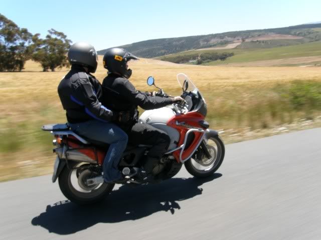
Generaal & Firecoast enjoying the ride:
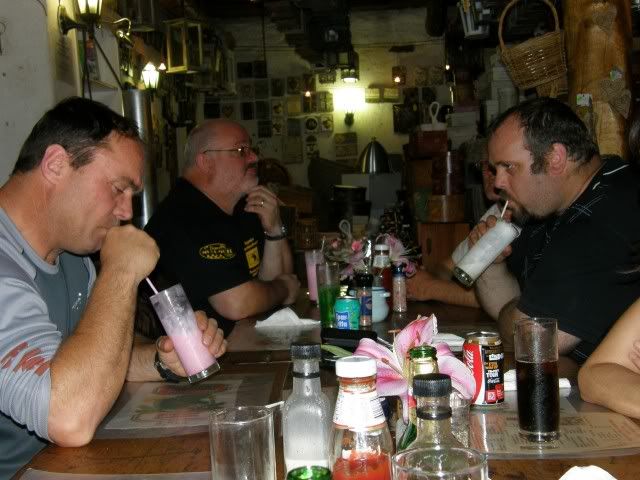
Dassiesfontein for lunch where the hairy scary bikers got into some drinking...
(R-O-V-Rat, Oom_Fourie, Eisbein)
Next we headed out towards Floorshoogte Pass which is not much of a pass at all
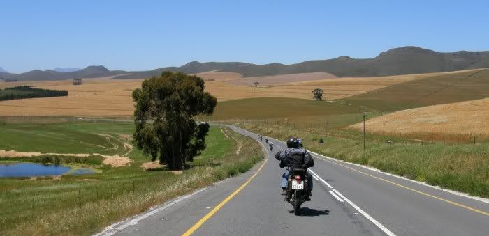
I did not even take a photo of "Floorshoogte Pass" as I never realized we crossed a pass.

White Stripes & Merrycan:
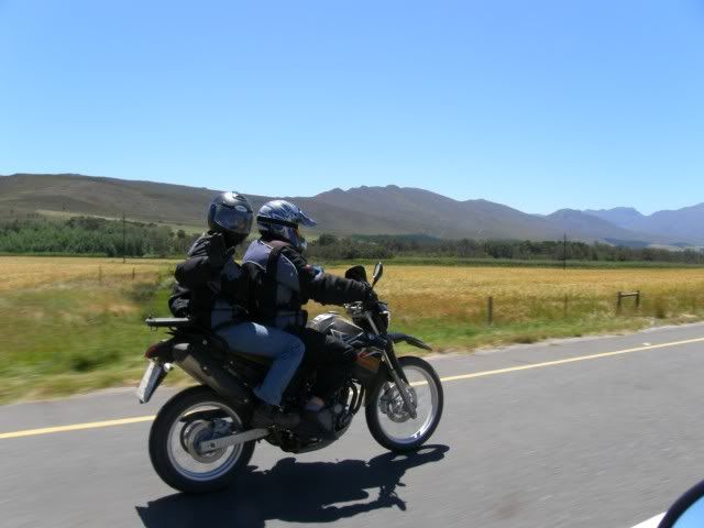
Scenery en route to Greyton:
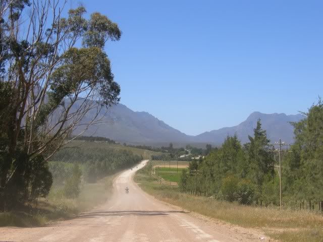
Greyton's historic Cape Vernacular architecture, tranquil setting amongst the Overberg mountains, and proximity to Cape Town make this a very popular destination for weekenders.
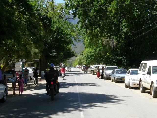
Sonderend rivier:

Next up - Dwarskloof Pass:
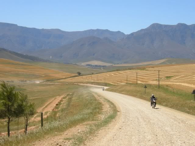
Kola enjoying the scenery:
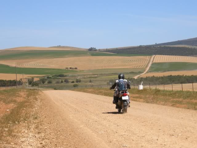
In Caledon we said our goodbyes to Oom-Fourie who had to head home and said hallo to Mountainboy and Mountaingirl

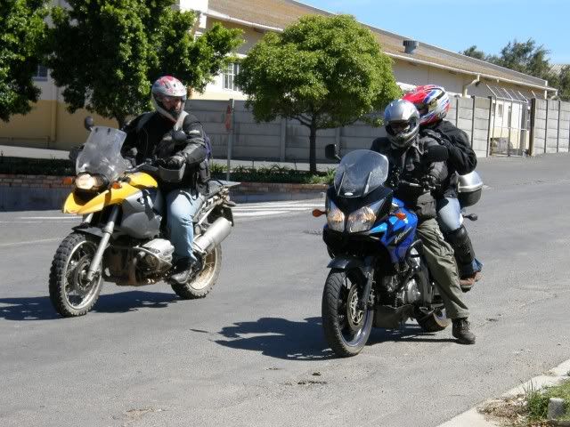
Cruising down Shaw's Pass:
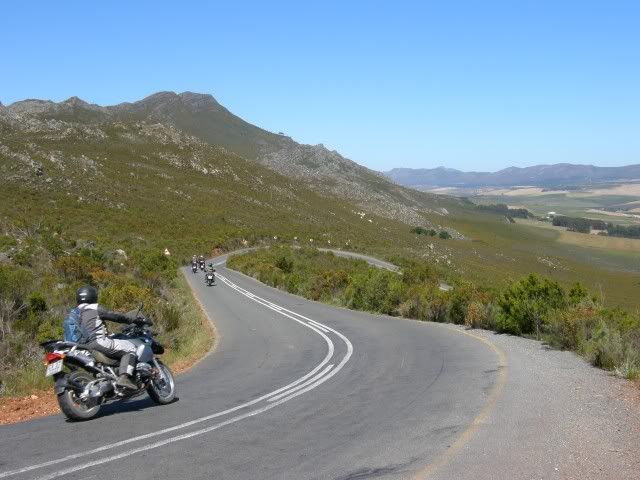
...and some more gravel through the scenic Overberg

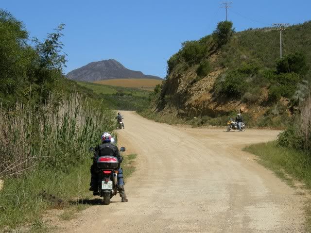
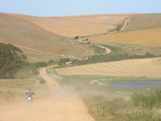
The last pass for the day was Akkedisberg Pass. Nice view from up here.
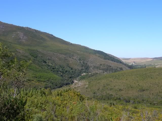
Mountainboy & Mountaingirl:
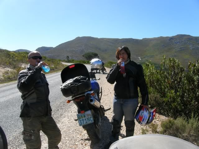
And our Destination for the night: Salmonsdam Nature Reserve.
Salmonsdam Nature Reserve lies 20 km east of Stanford, at the foot of the Perdeberg mountains. The area was named after Captain Robert Salmon of the ill-fated HMS Birkenhead, which sank at Danger Point in 1852 with a loss of 454 lives.
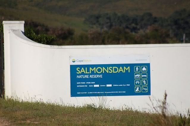
(Photo by Martin)
The reserve was established in 1962 and comprises an area of 834 ha. It forms part of the catchment area of the Paardenberg River, which eventually joins the Uilenkraals River south of the reserve. The reserve's topography clearly illustrates how a mountain catchment area functions, making it ideal for environmental education.
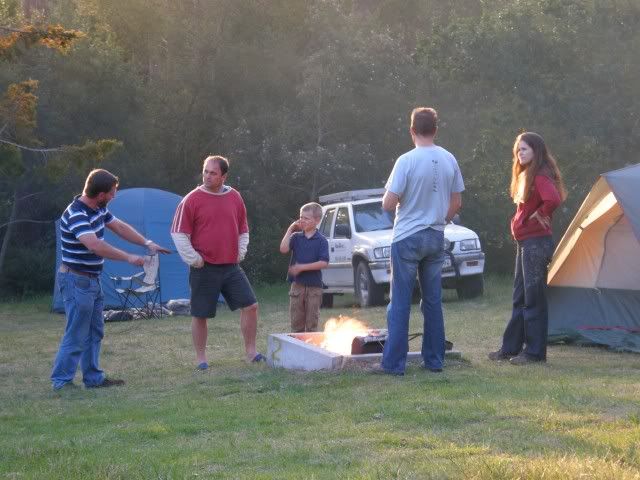
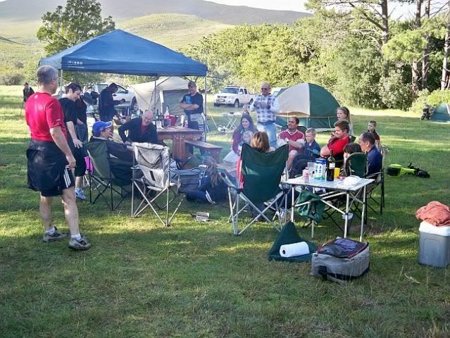
We arrived to find that some more friends (with 4 wheels) had already set up camp. And soon after Tok-tokkie & Buzzlightyear also arived.
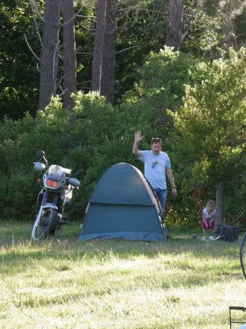
Tok-tokkie set up his tent as far as possible from mine. I wonder why?

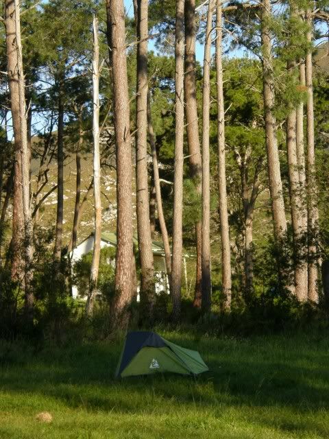
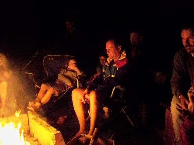
A great days riding, great weather and a nice evening spent with friends around the camp fire. What could be better?

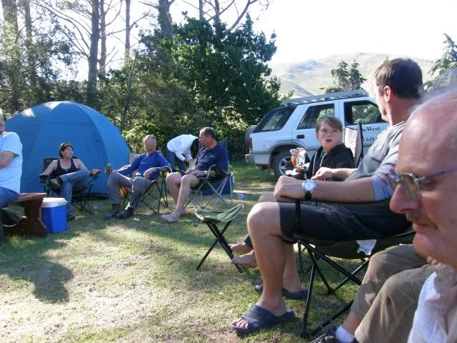
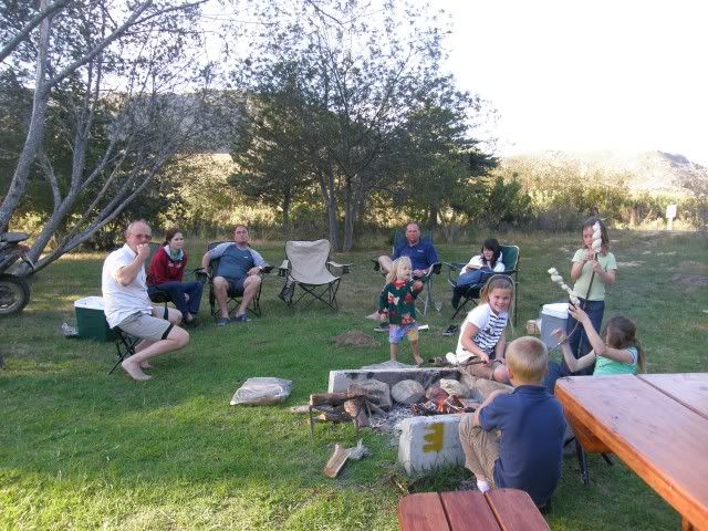
(Photo by Martin)
And this being the night of Halloween the kids were treated with some ghost stories

(Photo by Martin)
Another great day in Africa.


.
No comments:
Post a Comment