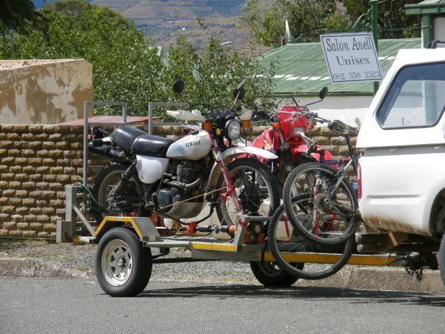
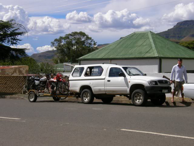
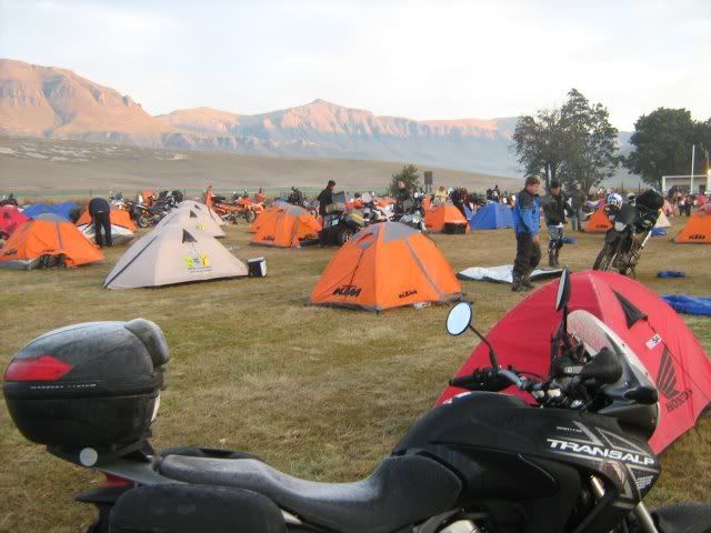
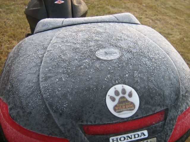
The campsite was a hive of activity this morning with the last of the riders wanting to get an early start.

(Photo by Gryph)
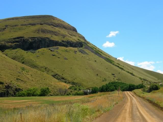
In the fresh morning air we set out. Gryph and I took it easy this morning, drinking in the scenery. Around every corner you are amazed at the sights and scenes. It's really worth your while to take your time around here.
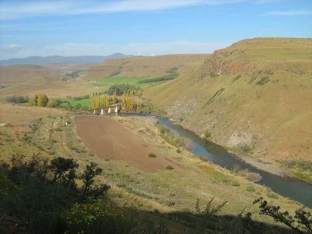
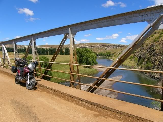
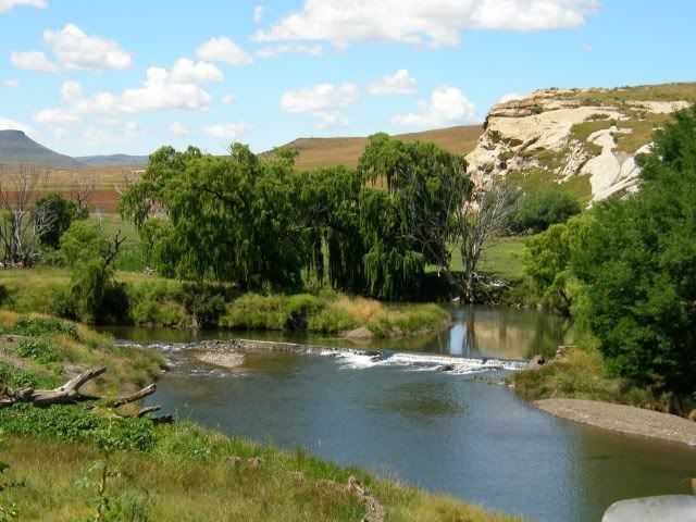
The view over the Kraai river on the road between Wartrail & New England:

The Kraai River is a tributary of the Orange River. It originates to the south of Lesotho and flows westward, where it joins the Orange near Aliwal North. The bridge in the photo is a railway bridge and the remains of the old Railway station Tierkrans can be seen in the left of the photo.
This area not only boasts great scenery and beauty of nature, but also a rich history. Only a few kilometers down this road we cross the Kraai River over the Loch Bridge - a national monument.
Construction of Loch Bridge commenced in the middle of November 1891 and the last arch was keyed in on 5 December 1892, but the bridge was only completed in March 1893. A labour shortage resulted in the approach roads only being completed in September 1893. There were 24 stone masons, three carpenters, and about 150 natives employed on the works, and some 300 more were kept on the work of the approaches on either side.
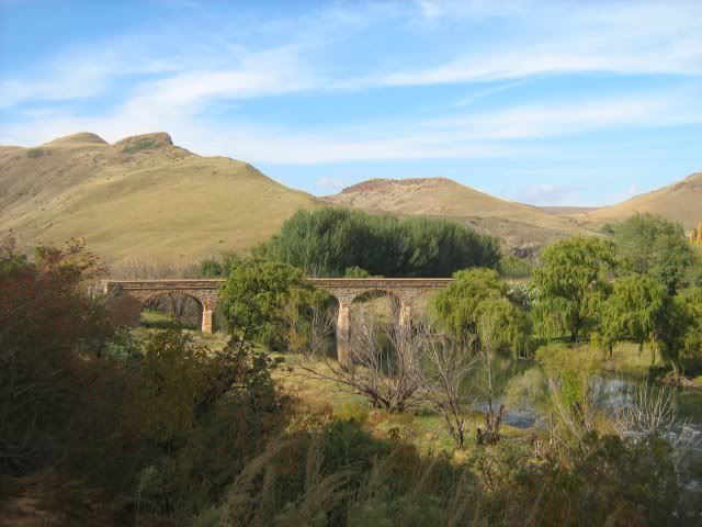
The bridge consists of five elliptical arches of 40 feet each, the length of masonry is 264 feet and the full length of the bridge is 640 feet. The roadway is 16 feet clear, and is 43 feet above the bed of the riverbed. The highest known flood reached 21 feet below the roadway. Wing walls were added to the bridge after the floods of January 1898 damaged the abutments.
The bridge was named after the Governor of the Cape Colony, Sir Henry Brougham Loch. It is a national monument and truly a masterpiece.
We ride to Barkley East for fuel from where we'll head out towards Elliott until we reach Bastervoetpad. Barkley East itself has some interesting buildings.
The Old Mill Inn was originally built in 1895 as a flour mill for the district of Barkley East. The building has since been remodeled into an inn while retaining the old Victorian atmosphere.
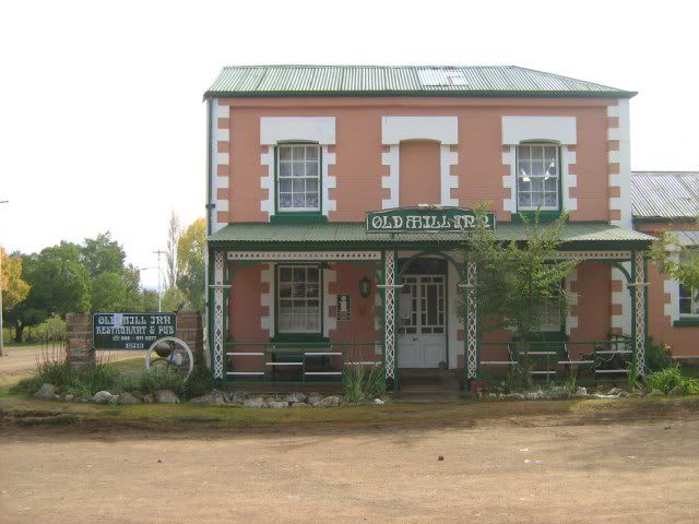
This might be a good option when I bring Mrs.TR here.

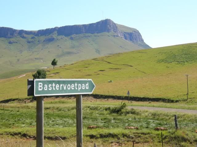
We hit the R58 to Elliott (tar, but still very scenic) until we see this:
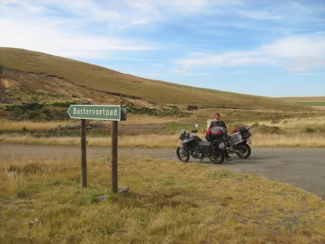
Bastervoetpad takes you from the R58 (linking Barkley East & Elliot) to Ugie. It's a mountainous gravel road that can be very challenging depending on which time of the year you travel over it. It's also known as the L.A.P.A. Munnik Pass.

In 1862 Adam Kok and his Griqua people were resettled in the Kokstad area. En route a splinter group of Griqua made their way over the Drakensberg and down the Bastervoetpad. They settled in the vicinity of Ugie. In 1863 William Murray established his mission station on the banks of the Inux and from 1874 onwards the area gradually became settled by white pioneering traders and farmers.
William Murray, a medical missionary and schoolmaster, founded the small village of Ugie with its peaceful ambiance and beautiful surroundings in 1863.
We passed by this road on our January trip and I vowed then to come back. This is it.

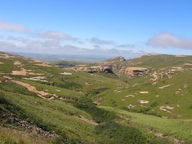
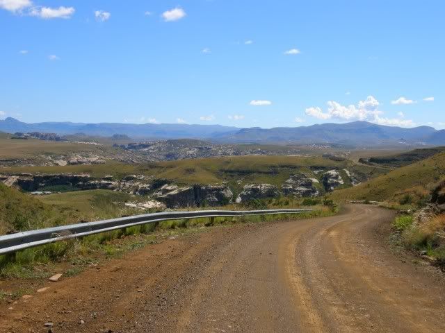
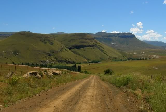
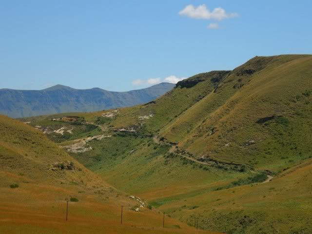
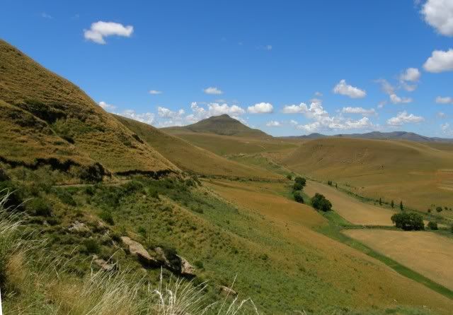
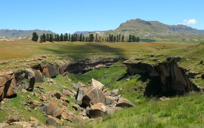
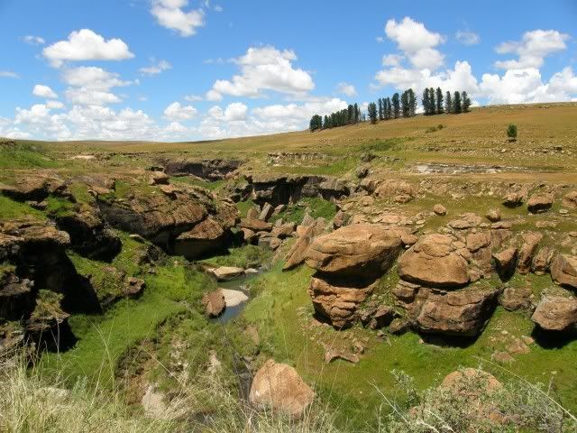
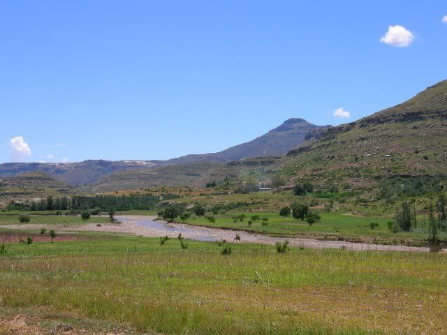
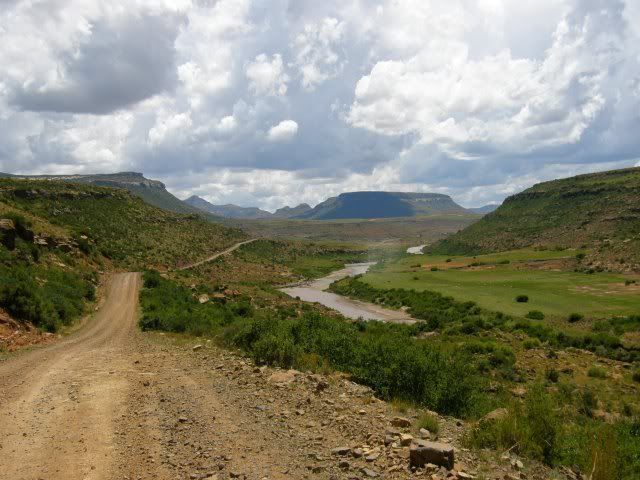
Scenery en route:
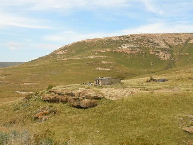
We were enjoying today's ride. No rush, stopping when we want to, enjoying our surroundings.
Gryph rode past a spot where something caught and ate a porcupine.
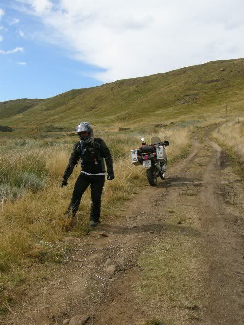
We took care not to ride over those "spikes". The last thing we wanted today as a flat tyre...
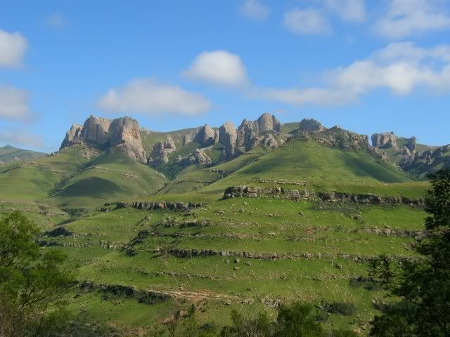
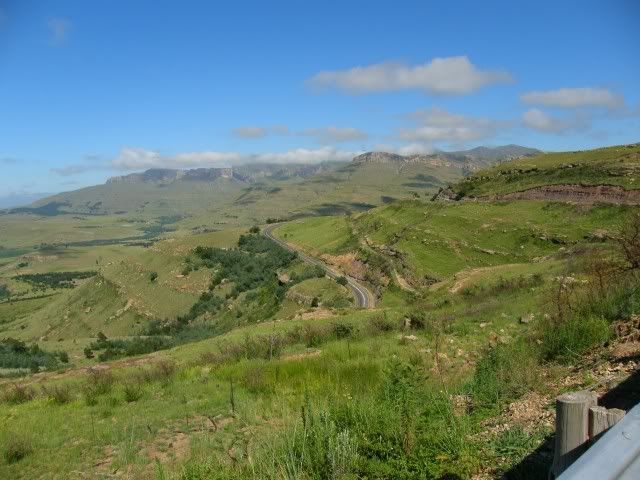
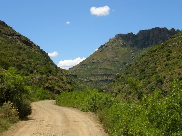
More scenery, beginning to ascend the pass:
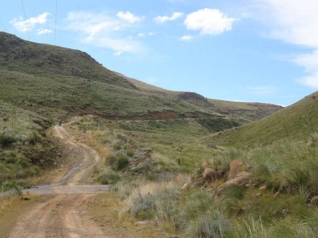
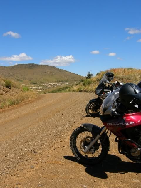
In ride perspective:
Halfway up the pass this is what I found:
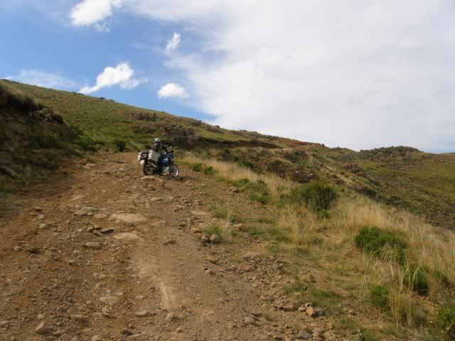
Gryph had a flat rear wheel.


The incline here is much steeper than it seems on the photos, so I had to stop my bike on level ground and walk up to Gryph to help.
This pic he took gives a better perspective:
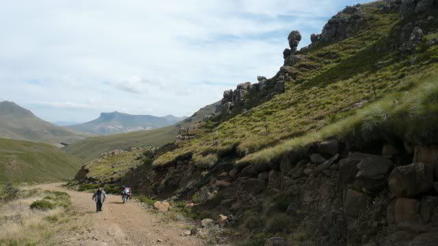
(Photo By Gryph)
Back on level ground the wheel was taken off and fixed. We both carry all the tools to be able to fix a flat even if we were on our own, the only difference being that Gryph has a compressor and I carry gas bombs to inflate my tyre. Only problem was that Gryph's power socket broke so we couldn't use the compressor.

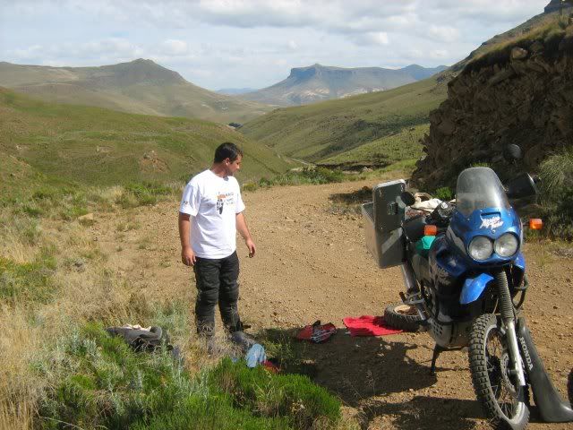
With the spare tube fitted we used two gas bombs (I had four) to inflate the tyre and we were set.

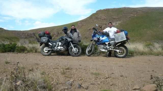
(Photo by Gryph)
Now it was decision time. Do we continue over this pass without a compressor, or do we get supplies first? It was afternoon already and it gets very cold here at night. We wouldn't want to get stuck overnight on this mountain.
The sense of adventure wanted us to continue, but in the end we decided on the safe option.

Thinking back I find it weird that we made this decision. I have been looking forward to riding this pass for a very long time and normally we'd continue. As it turns out we made the right decision in the end...
Starting the ride back down:
And not even 100m down the road...
Another flat, rear again. The spare tube Gryph had was suspect right from the start as I had a similar spare tube before and it failed 2km after the first flat. Gryph too has had bad luck with a similar tube on our Loxton trip when it failed right after he fitted it. The likelihood of a 2nd flat is one of the reasons we turned back. I hope he's learned his lesson with these tubes by now!

The great scenery around us was no comfort for a dejected Gryph who unpacked his pannier again, but if you're going to break down, it might as well be beautiful around you.
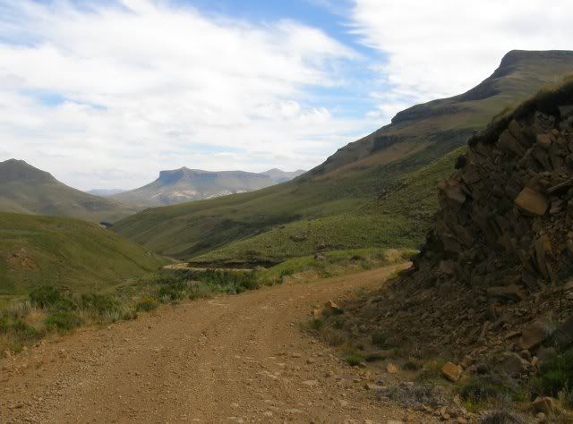
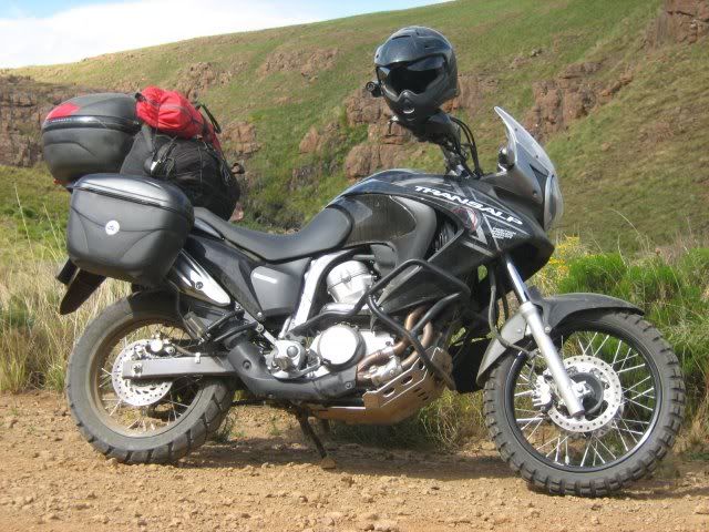
An frustrated Gryph:
I lent Gryph my spare tube (a thick enduro type tube) and after the wheel was fixed we inflated it with the last two gas bombs. We realized that after this fix we'd have no spare tubes left and no way to inflate a tyre, so we phoned GlenInk in Elliott who started riding out to meet us.
He arrived just as we finished up the fix.
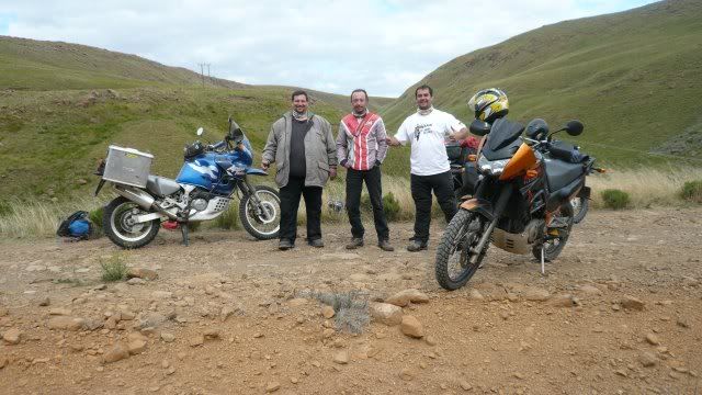
(Photo by Gryph)
Tired and frustrated we headed back towards Elliott. Tonight we wanted a steak, an early night and a warm bed to sleep in, but about 10km down the road I noticed Gryph's wheel was deflating again.
It seemed like a slow puncture this time so Gryph quickly inserted a can of tyre fix.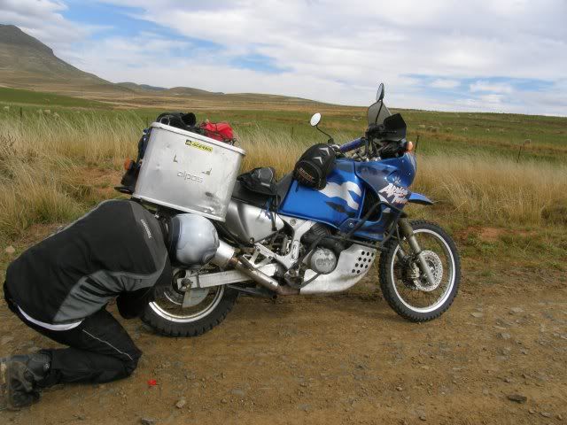
Let's get out of here. We'll fix this mess in civilization.
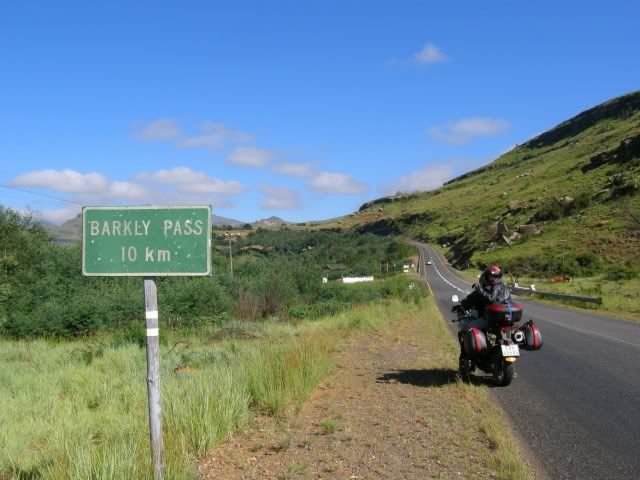
Barkley Pass:
We wanted some luxury to lift our moods and GlenInk knew exactly where to take us - Intaba Lodge.
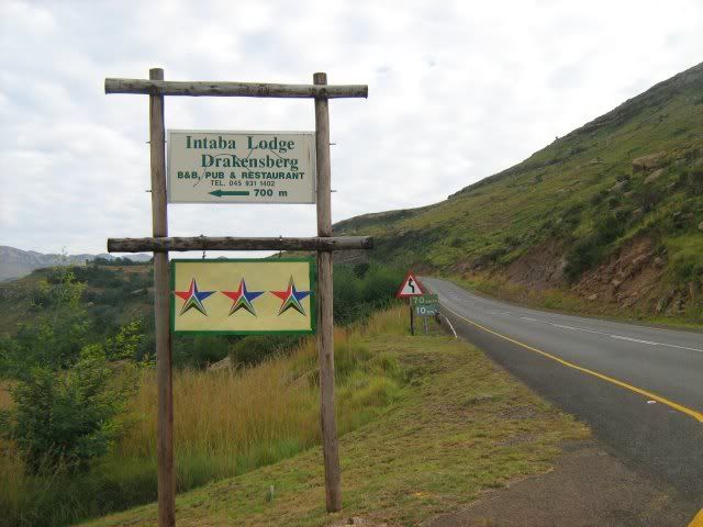
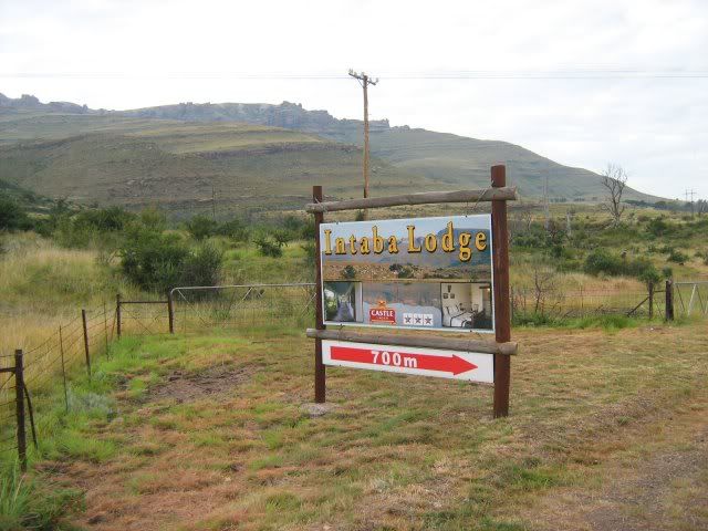
Wow! This is exactly what the doctor ordered!
Some pics by Gryph:
.
We also found this magnificent Morgan parked out in front:
My room - a welcome change after the small icy tent!
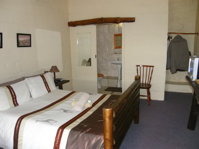
Tonight we can get a well deserved rest. Four nights of partying can really take it out of you.
As soon as the restaurant opened we ordered. We've had nothing to eat since breakfast that morning. Rib combo tonight.
Just look at this plate of food!  The steak is still under that!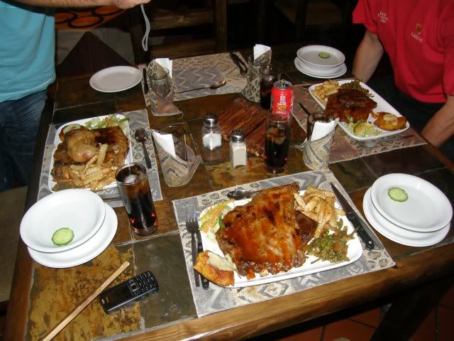
Having dined like kings we retired to the pub for a last one, and another, and another...
 Next thing we knew it was closing time! So much for an early night.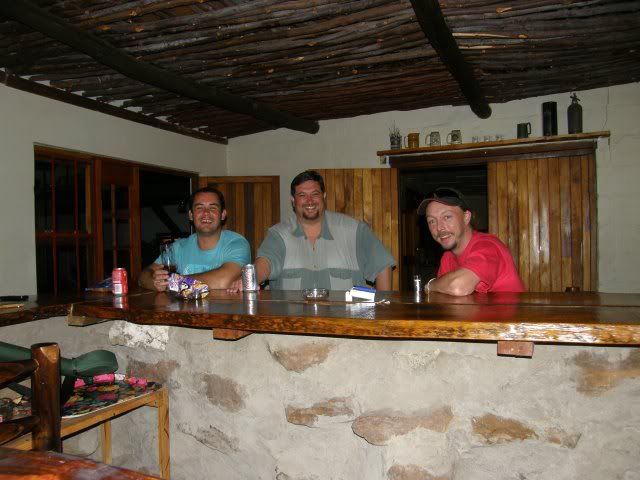
Tomorrow we start heading home.
So I missed out on Bastervoetpad again, but I will be back. I have been in this area twice now and both times I purposefully avoided Naudes Nek Pass, saving it for my trip to Sani Pass. Bastervoetpad will now be done on that trip, on the way back. There's lots or riding to be done in this area still!


Sources: Loch Bridge
.


 The Drakensberg ("the Dragon Mountains") is the highest mountain range in Southern Africa, rising to 3,482 metres in height. In Zulu, it is referred to as uKhahlamba ("barrier of spears"), and in Sesotho as Maluti (also spelled Maloti).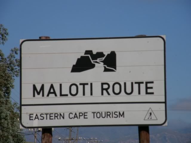




 Our line runs right past him and there is no way he can miss... He swings and all I can think at that stage is "Oh no...".
 He only motions and I take a few seconds to recollect what just happened (or didn't). I get a shiver down my spine as I think about it now.