Showing posts with label Micro Adventures. Show all posts

Friday, July 31, 2026

The Two-Hour Window - Just do it!

Micro-adventures can be different things to different people. For someone who only gets a break once or twice a year, it might be a quick one-nighter trip, and just opening the maps, choosing a destination, and planning that short trip might be a mental micro-adventure in itself.

For myself, however, the best micro-adventures are the spontaneous ones. A simple thought that comes up at 11 AM, getting on the bike at noon, and finding myself somewhere totally unexpected by 1pm, only to be back in the office by 2pm, reinvigorated to complete the working day.

Since my first 2 Hour Holiday, followed months later by a 2 Hour Safari, I have realized just how much can be done in two hours.

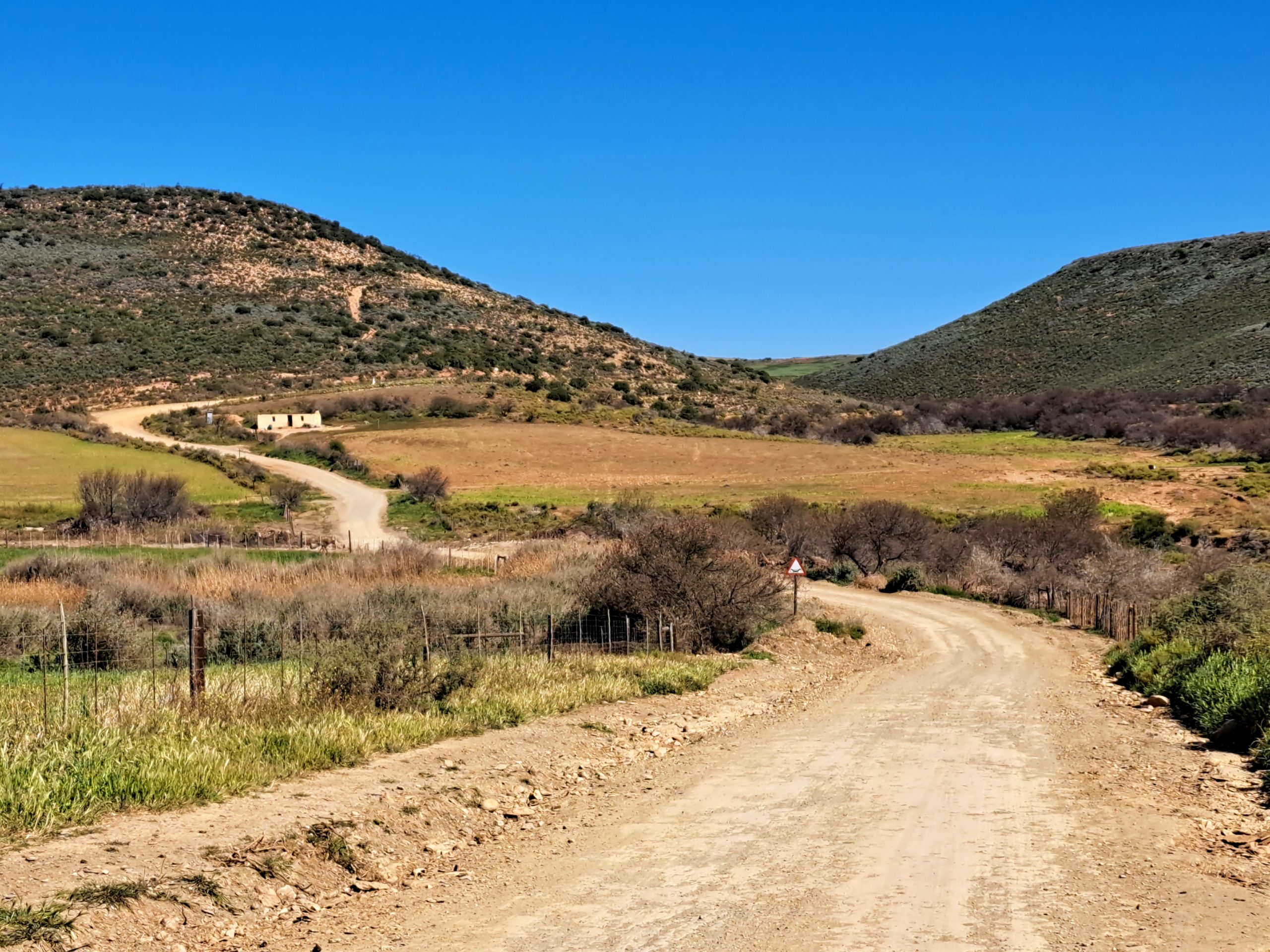
Where was I going? Truly, I had no idea. I turned left. Ahead of me was Outeniqua Pass and a spirited ride through a beautiful pass seemed like a good idea at the time. And then I simply kept going. Riding through Waboomskraal, known for growing hops, I took the first gravel road in the Klein Karoo because of the “Flood damage” sign.

Such things draw me like a moth to a flame. Most of the damage have been fixed. Roads, even back roads, are well maintained in the Eden District.

The road took me to a little church in a small settlement / railway siding called Zebra.  

I have ridden past here before, but I’ve never stopped to really look at this church. The building reflects classic rural Klein Karoo style with whitewashed stone walls, a simple pitched tin roof and wooden sash windows. It appears to be well maintained.

(I later learned that the Zebra Church has found new life as the official final destination of the Hope Camino (the Calitzdorp Klein Karoo Pilgrimage). Hikers begin at the Dutch Reformed Church in Calitzdorp and cover approximately 141 kilometers over seven days, finishing at the doors of the historic Zebra Church.)

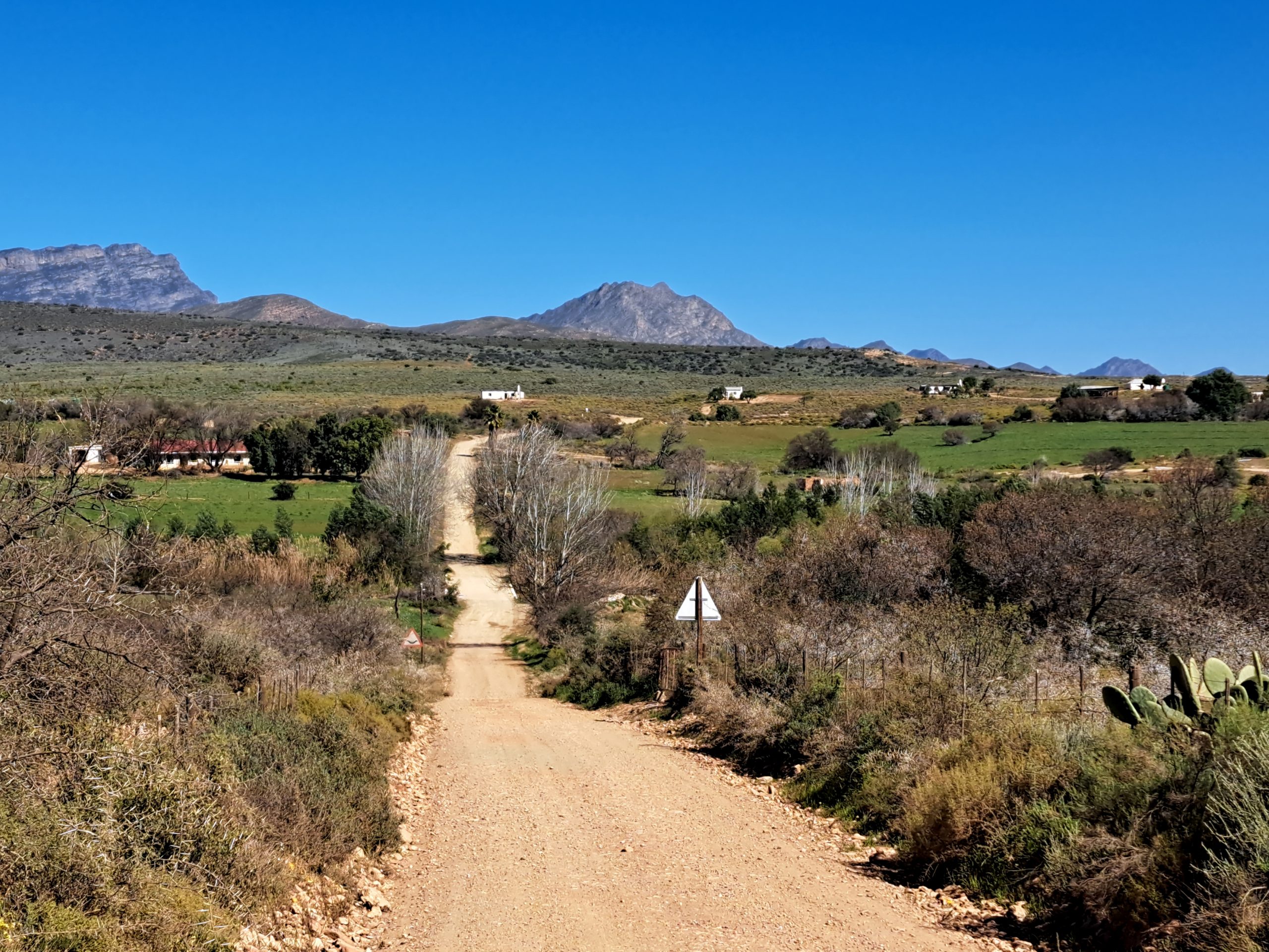
When the road forked again the track toward Mount Hope looked inviting, but having been there before, I opted for a quieter farm road instead. It wound past scattered cottages, where friendly farmworkers looked up to wave enthusiastically as the bike rolled by. After the recent heavy rains the whole area is green and beautiful. 

I crossed the Kliprivier (Stone River), again. It originates in the foothills of the Outeniqua Mountains and meanders through agricultural land before joining the Olifants River (which eventually feeds the massive Gourits River system). When thunderstorms or mountain rain occur these rivers can change dramatically from a dry riverbed to a powerful flood within hours. Hence the “Flood Damage” sign from earlier.

Following the road I came across this.

The nearby Blossoms railway siding was named after the farm Blossoms. In the days before good roads, sidings like Blossoms were vital to farming communities. Farmers would bring produce by wagon to the siding, where it was loaded onto trains bound for Oudtshoorn, George and beyond.

In recent years, the name "Blossoms" became household news in the Little Karoo due to the massive Blossoms Emergency Water Scheme. The region sits above a major groundwater reserve, piping millions of liters of water per day over 22 km into Oudtshoorn.

I noticed the name for a different reason. I recall seeing the farm advertising a self-catering unit, a restored historic milking parlor converted into a private cottage. The farm also hosts a variety of game species, including Cape Buffalo, Giraffe, Sable, Golden Wildebeest, Kudu, and Springbok. So I continued, crossing the Kliprivier, again.

Now, my Adventure Bike can take me anywhere.

Except into a Buffalo enclosure!

So this was the end of the road, for now. We will be back in a suitable vehicle and staying for the night soon!

A random Klein Karoo house on the way back. Imagine growing up here.

The gravel road eventually spat me back onto the tar and with time ticking, it was time to head back. What litre-class adventure bikes lack in tight, technical single-track, they more than make up for when you need to cover ground. The stretch home was dispatched quickly, effortlessly, and in absolute comfort.

In just two hours, I carved through a mountain pass (twice), stood in the quiet shadow of a historic church, exchanged waves with smiling strangers, stopped at tranquil river crossings and found a new destination to visit soon. It was a complete reset, compressed into a single lunch break.

You just need a machine, an open road, and the willingness to trade sixty minutes of routine for sixty minutes of the unknown. 

Tuesday, July 28, 2026

I Went Looking for the Ocean… and Found a 200-Year-Old Secret

From Gwaing River Mouth to the forgotten story of Chief Dikkop and Pacaltsdorp.

There are days when you set out with no real agenda, just a quiet plan to find a stretch of coastline where you can hear the ocean properly. Just a short drive from George, tucked away beyond Pacaltsdorp, lies one of the Garden Route’s lesser-known treasures, the beautiful Gwaing River Mouth. While nearby beaches like Herolds Bay often attract the crowds, Gwaing remains a quieter escape, a place where river, ocean and rugged coastline meet in a peaceful natural setting.

But places like this have a habit of revealing more than they promise. What looks like an ordinary coastal stop quickly becomes a gateway into something far older, where the landscape starts telling stories that stretch back more than two centuries. That’s when you begin to realise that you’ve accidentally stepped onto a forgotten discovery route, layered with history that most people drive past without ever noticing.

So after a short ride I find myself where the Gwaing River flows down from the Outeniqua Mountains and eventually empties into the Indian Ocean at a small estuary about 3 km east of Herolds Bay. The estuary itself is relatively small, roughly 1.4 km long, and is classified as a temporarily closed estuary, meaning sandbanks sometimes seal the mouth from the sea depending on tides and river flow.

But what the Gwaing lacks in size, it more than makes up for in atmosphere. Steep cliffs frame the golden sand beach while the river winds gently toward the ocean, creating calm pools and sheltered spots perfect for exploring. Visitors often come here for fishing, long beach walks, picnics or simply to sit and watch the waves roll in.

During winter and spring, visitors sometimes spot whales passing along the coast, while dolphins frequently patrol the waves just offshore. At sunset the cliffs glow warm orange and the river reflects the sky like a mirror, one of those quiet Garden Route moments that stays with you long after you leave.

The nearby community of Pacaltsdorp has a long and fascinating history dating back to the early 1800s, when the mission station of Hoogekraal was established and later renamed after missionary Charles Pacalt. Being a sucker for history I started looking into the history of Pacaltsdorp, which turned into a whole adventure of its own. The story of Pacaltsdorp is really a story of two founders: Charles Pacalt, whose name the town carries, and Chief Dikkop, whose vision brought the mission station into existence. Most visitors know one name, but few know the other. Chief Dikkop is one of the most important, yet often overlooked, figures in the Southern Cape story.

Chief Dikkop (Kaptein Dikkop) was the leader of the local Khoikhoi community living at Hoogekraal, the settlement that later became Pacaltsdorp. Without Dikkop, Pacaltsdorp may never have existed. Chief Dikkop had the foresight to invite a missionary because he saw opportunities for advancement for his community.

In 1812, after meeting missionaries from the London Missionary Society, Dikkop repeatedly requested that a resident missionary be sent to Hoogekraal. His request was eventually granted when Reverend Charles Pacalt was assigned to the settlement in 1813. According to local accounts, Dikkop personally travelled by ox wagon to Suurbraak to fetch Pacalt, a journey that reportedly took four weeks.

After Reverend Pacalt's death in 1818, the Hoogekraal settlement was renamed Pacaltsdorp in his honour. There are several historic sites from that time. Before a church was built, Rev. Charles Pacalt built the “Patat Huisie”, considered the oldest surviving structure in Pacaltsdorp.

This was originally Rev. Pacalt's second mission cottage, built around 1813 with sod walls, a thatched roof and a cow-dung floor. One of the old manse buildings in Pacaltsdorp.

The Old Manse buildings are the houses where the ministers (or "dominees") of the mission station lived. In church terminology, a manse is simply the minister's residence. What's interesting about Pacaltsdorp is that there wasn't just one manse. Over the years, several were built as the mission grew. After Rev. Charles Pacalt's death, Rev. William Anderson arrived and built a substantial two-storey stone residence next to Pacalt's small cottage. The building featured thick stone walls and extensive use of yellow-wood timber. It was considered quite grand compared to the humble mission cottages around it.

The “Patat Huisie” was declared a national monument in 1976. Later, John Anderson used it to store his famous "six months patats", which gave the building its nickname. Rev. Anderson’s home also was declared a National Monument in 1976.  

The Andersons occupied the house for 30 years. After both Mr. and Mrs. Andersons death the three spinster daughters moved away and the Atkinsons took over.  

The Klipkerk of Pacaltsdorp is arguably the most important historic building in the George area and one of the oldest surviving churches in the Southern Cape. The church was built between 1822 and 1825, only a few years after the death of Rev. Charles Pacalt. It was officially opened on 19 June 1825 by Dr. John Philip of the London Missionary Society. The building was constructed largely by local residents of the mission station using locally available materials of stone, yellowwood, clay and glass.  

What makes it unique is its architecture. Most early Cape churches followed the simple Cape Dutch style, but the Pacaltsdorp church is a rare example of early Gothic Revival (often described locally as Norman-style) architecture in South Africa. Architectural historians have described it as one of the finest surviving early Gothic Revival buildings in the country.

Some fascinating details include walls that are nearly a metre thick in places. The tall square stone tower that can be seen from far across Pacaltsdorp. The Gothic-style window tracery was crafted from yellowwood. It is a design that resembles a small medieval church rather than a typical Cape mission church. When you stand in front of it, it feels more like something you would expect to find in rural England than in the Garden Route.

The church stands at the heart of the mission settlement that Chief Dikkop helped create. However, there is a poignant twist in the story. Dikkop died in 1816, before the church was completed, and because he apparently never formally converted to Christianity, he was buried outside the mission cemetery. His grave is about 100 metres from the church. His grave remains one of the most significant, and least-visited, historical sites in the Garden Route. 


Located in the old cemetery near the Klipkerk, is a small enclosed section reserved for the missionaries, their spouses, and a handful of individuals who played key roles in the early mission community. 

Among those buried in Missionaries' Acre are Rev. Charles Pacalt, Rev. William Anderson, who succeeded Pacalt and played a major role in the growth of the settlement and Epenita Jantjies, a particularly important figure because she was Rev. Pacalt's first Khoi convert, baptised in 1814. She remained a member of the church for more than four decades and is one of the few local indigenous people buried within the Acre.


 If you are ever in the area, take a Historic Walk.

  1. Start at the Stone Church.

  2. See Missionaries' Acre.

  3. See the Patat Huisie and old manse buildings.

  4. Visit Chief Dikkop's grave.

This is one of the easiest and most rewarding self-guided historical walks in the Garden Route. You're effectively walking through a living museum, all within a few hundred metres of one another. That concentration of early 19th-century history is almost unmatched anywhere else in the Southern Cape.

Sometimes you set out with something simple in mind, like a quick out-ride to the Gwaing River Mouth, only to find yourself stepping into something far older and richer than expected. A short turn off the main road can quietly pull you onto a 200-year-old discovery route. It is one of those reminders that travel does not always require distance. Some of the most interesting stories are not “somewhere out there”, but right here in your own backyard, waiting behind familiar place names and gravel roads you’ve driven past a hundred times without really seeing them.  

Saturday, June 6, 2026

A Two-Hour Safari

Not every adventure needs a week of leave, a fully packed pannier setup, or a destination hundreds of kilometres away. Sometimes, the perfect escape is sitting right on your doorstep.

I recently discovered exactly that on a short circular ride that I can only describe as a “Two-Hour Safari”, a scenic backroad route winding through game farms, rolling hills, quiet gravel roads, and even a few small mountain passes. It is the kind of ride that reminds you why motorcycles and backroads belong together.


The route passes the impressive Hartbeeskuil Dam, and after the recent rains, the dam is an incredible sight. Filled right to the brim, the water stretches across the landscape like an inland sea, reflecting the clouds and mountains around it. It is worth stopping just to take it all in for a few minutes.

But the real magic starts once the road enters the surrounding game farm areas.


Within minutes I started spotting wildlife everywhere. Wildebeest and Eland grazed calmly in open fields while Zebra moved between the bushes. Springbuck scattered across the plains and massive Giraffe stood watching from a distance. Waterbuck appeared near the wetter areas and Ostriches casually wandered alongside the road. At times it felt less like a normal ride and more like a proper safari, just without the game viewer and khaki uniforms.


Then came the part that really got my attention.


For roughly six kilometres, the road runs directly through the spectacular Gondwana Private Game Reserve. Unlike many reserves where dangerous animals are kept behind separate fencing, Gondwana has free-roaming Lion, Buffalo, Elephant and Rhinoceros in certain areas. Suddenly the ride became a lot more exciting.

I must admit, I became slightly nervous.


Not long after entering the reserve section, I encountered some Elephants near the road. Seeing animals like that from the saddle of a motorcycle changes your perspective very quickly. You suddenly feel very small and very exposed. Add to that the antelope and other game occasionally running ahead of the bike on the road itself, and your senses become fully switched on.

It was thrilling, slightly intimidating, and absolutely unforgettable.


What makes this route so special is how accessible it is. You do not need complicated planning, expensive bookings, or days away from work. It is the perfect micro-adventure, a quick break from routine that still delivers scenery, wildlife, gravel roads, and genuine adventure.


Sometimes two hours is all you need to reset the soul.

And sometimes, the best safari is the one hiding just beyond your hometown.


Download Route HERE. 

Distance: 53km

Travel Time: 2 hours.

Road Surface: Mostly gravel with loose sections, can be slippery when wet.

Saturday, May 23, 2026

The Art of the Roadside Braai

A lot of good things in life start with the letter B. Bikes, Braais and Beaches are three of our favourites. But combining a braai with a bike ride? That’s a bit more challenging. Space is limited, and you don’t exactly want to strap a Weber to your panniers. Still, where there’s a will, there’s a way and we’ve found some simple, road-tested solutions.

Packing Light: The Road Braai Kit


Sure, there are some clever little travel braais out there: compact, foldable, even designed specifically for motorcycles. The problem is, they’re often expensive and, honestly, overkill. You don’t need a fancy setup. Just a small grid with a foldable stand. We found one that comes with its own cover and fits neatly into a topbox. Perfect.

To round off the kit, we added:
  • A short braai tong.
  • Miniature picnic-sized spices and salts.
  • A small casserole (optional, but handy).
  • Firelighters and matches.
A grocery bag full of small wood pieces we collected after previous braais — useful for a quick fire, and the bag doubles up as rubbish storage afterwards.
 

What goes on the Grid?


Think simple, tasty, and easy to pack Boerewors rolls is the go-to solution here, but not your only option. You can swap the wors for sosaties for instance.

Steak or chops with braaibroodjies is also an option and yes, we even have a topbox-friendly method for the broodjies. Sandwiches don’t travel well, especially in a violently shaking Topbox. One gravel road and the sandwich is transformed into a wet little bread ball with some of the ingredients protruding on the sides. So, the whole idea of having a braaibroodtjie has to be approached from a whole new angle.

Firstly, the bread. Think compact and sturdy that would hold up traveling in a Topbox. Our choice fell on bought roosterkoek. Next, we had a look at ingredients. Tomato might not be ideal, but there’s a plethora of other options available. Coming up with new ingredients and recipes was half the fun.


We came up with 5 different combinations: The first was Cream cheese, Biltong and Cheddar. The second was a rather fancy Bacon, Brie and Caramelized onions. The easy option was Ham, Cheese and Greenpepper. The fourth option was Salami, Mozzarella and Mushrooms and lastly, a 3 Cheeses and Garlic.


We preprepared our braaibroodjies the night before the ride and wrapped our creations in foil and popped them into the refrigerator. The next morning we loaded the topbox and set off for the ultimate roadside braai. The braaibroodjies held up well traveling in the topbox, and were easy to braai in the foil with nothing falling out etc. This worked almost better than expected, and now we can’t wait to start expanding on the menu options!

The meat was pre-marinated and vacuum-sealed. We kept in a smaller cool bag with ice packs that kept everything cold and fresh. Pack it tight, insulate it well, and you might even have ice left for a drink by the time the fire is ready. No leaks, no fuss, and it’s ready to go straight on the fire.


The Spirit of It All


A roadside braai isn’t about the gear, it’s about the moment. It’s about pulling over somewhere quiet, firing up a grid, and enjoying a proper South African meal under the open sky. Minimalist, practical, and unforgettable.

So next time you pack the bike, leave a little space for the grid and the wors. You never know when the road will hand you the perfect braai spot.


Saturday, March 28, 2026

A Two-Hour Holiday

There are days when the to-do list feels endless, when deadlines stack up like roadblocks, and you can almost hear the hum of the laptop begging you not to leave. On one such day, I decided to ignore the calls of work and steal two hours for myself. Not a big trip, not a planned holiday — just a micro adventure. The plan? Fire up the bike, chase a bit of fresh air, and reset the mind on some of the most scenic roads the Garden Route has to offer. What followed was a micro adventure that proved you don’t need a week off to find freedom, just a bit of road, a sense of curiosity, and a willingness to go.

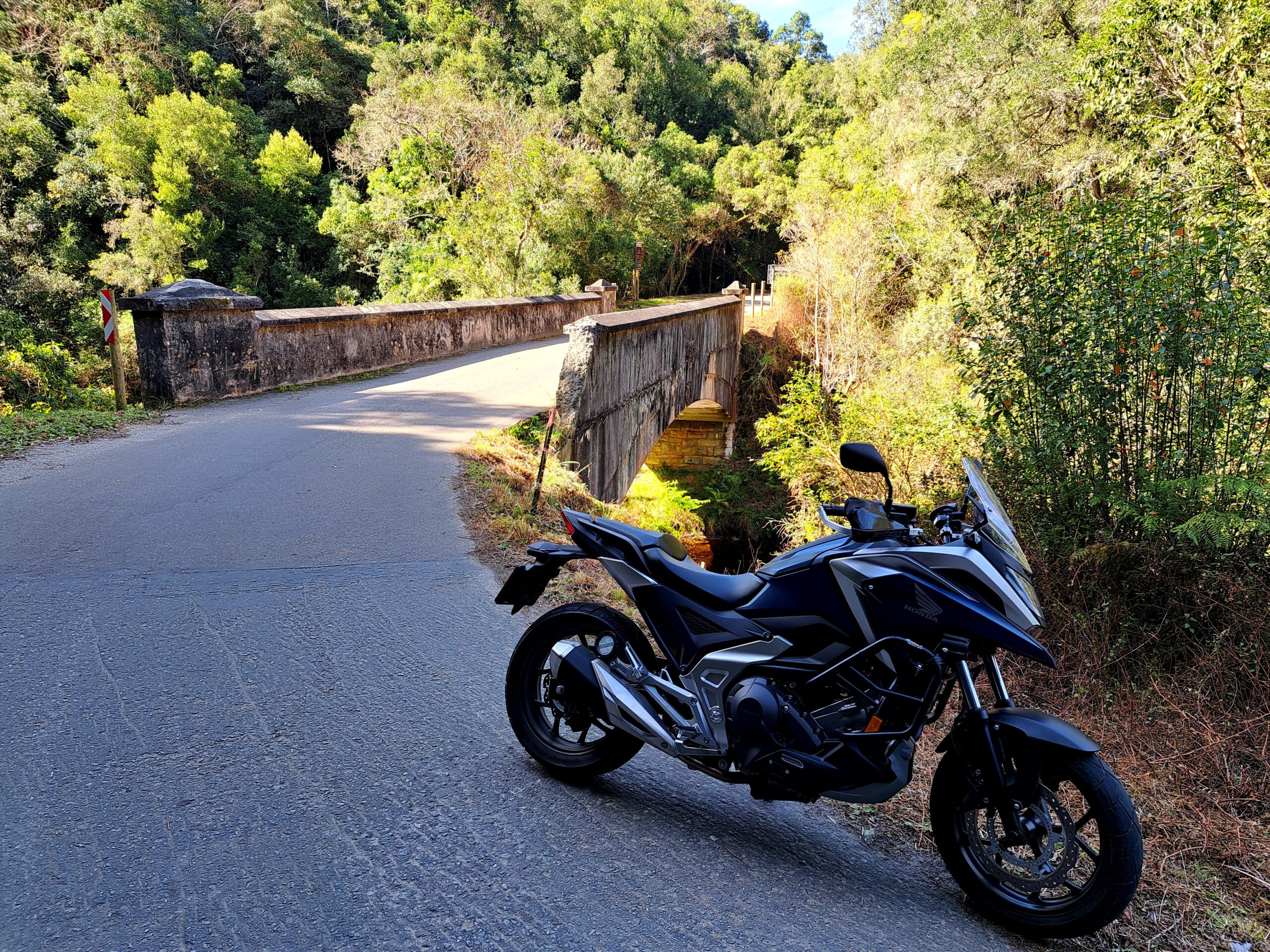
The 7 Passes Road was my chosen route, the historic stretch linking George and Knysna, built by Thomas Bain in the late 1800s. Today it’s a quiet, almost forgotten route, perfect for riders and travellers looking to trade speed for scenery. What it lacks in speed, it makes up for with quiet bends, forest canopies, and stone bridges that whisper stories of another time.


The daylight filtered through the tall indigenous trees as I rode eastward. Riding through the forest is never just about what you see, it’s about the smells of damp earth, the cool air brushing your face, and the sudden bursts of sunlight breaking through leaves. On the bike you feel completely part of the elements, every sense tuned in.

Soon I found myself rolling over the old Kaaimans River Bridge, an arched relic of another century. Further along, the Silver River Bridge stretched out, elegant yet humble, spanning its valley as it has for generations. These bridges are more than infrastructure. They’re part of the Garden Route’s living history, reminders of how travel once meant patience, craftsmanship, and respect for the land.


From there, I wound my way up to Wilderness Heights, where the road opened up and the sea revealed itself in all its shimmering blues. The contrast from forest to ocean is one of the Garden Route’s great joys. In the space of a few minutes you go from green tunnels to endless horizons. I stopped to take it in, letting the salty breeze and the crash of waves below sink into my bones.


The descent into Wilderness is pure joy. Sweeping bends, glimpses of the lagoon, and that sense of freedom only a motorcycle ride delivers. Along the lagoon, the road runs so close to the water you feel like you’re skimming its surface.


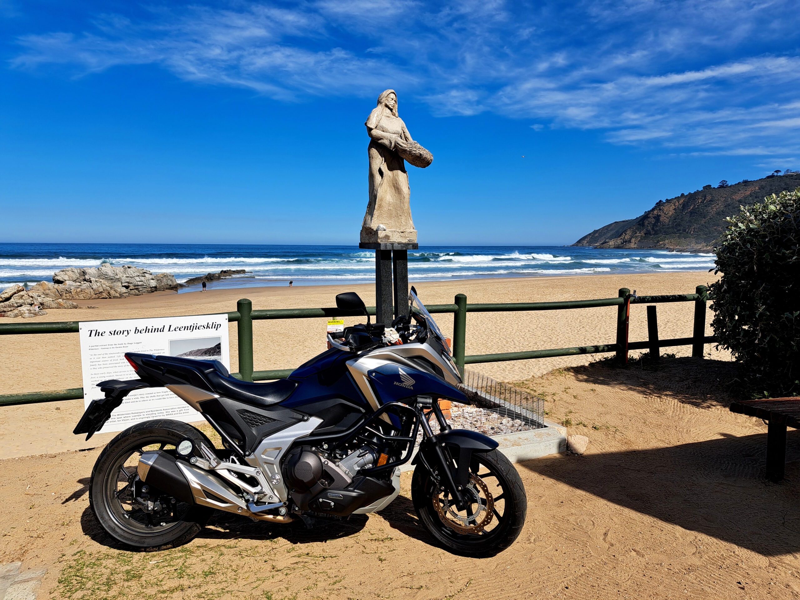
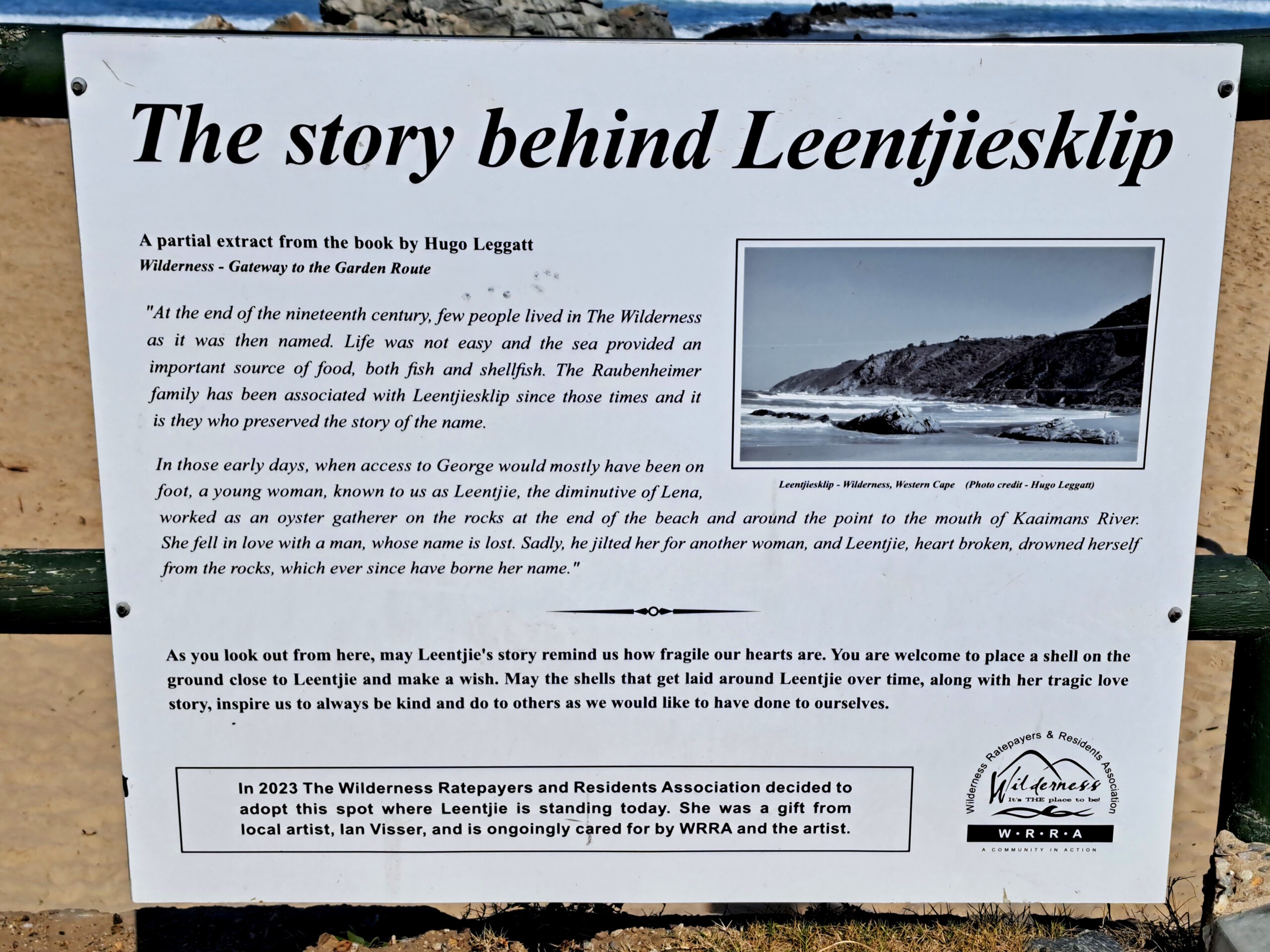
I carried on to Leentjiesklip Beach, where I parked and stretched my legs in the sand. There I found the statue of Leentjie, and paused to read the story behind the name. Standing there, with the waves rolling in, I felt that thread of connection between past and present, between the stories we carry and the places we pass through.


After a few quiet minutes on the beach, it was time to head back. I rode once more up Wilderness Heights, looping back to George via the same 7 Passes Road. In just two hours, I’d shifted my perspective. The forest, the bridges, the ocean, the lagoon, even the gaze of Leentjie on her beach, they’d all reminded me why we ride, why we explore, why sometimes it’s worth leaving the emails unread.

It wasn’t a long holiday. No booking, no packed bags. Just a bike, a bit of sunshine, and the willingness to go. A micro adventure — two hours that felt like two days.

And when I finally rolled back into George, the work was still waiting. But I was clearer, lighter, and reminded once again that adventure doesn’t have to be far or long, it just has to be taken.


Saturday, February 28, 2026

Scenic Rides & Drives: Paardepoort and Mount Hope

This scenic gem of a road is little known, and for several reasons. But it is just this, its lesser known status, that makes it extra special. You can go slower, enjoy the surroundings and even have a swim and a braai!

The route starts just North of the little town of Herold, situated in the Outeniqua mountain range. This route forms a natural extension to the historic Montagu pass that runs over the Outeniqua mountain range from George to Herold, but sadly the pass is in a state of disrepair currently. It is probably the splendour of what was the Montagu Pass, that made Paardepoort a little more obscure and much less known.

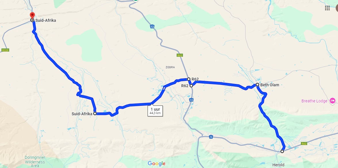
Our featured route is just over 44km and will take about 1 hour travel time without stops, but stop you will. It starts on the N9, crosses the N12 and exits onto R328 between Oudtshoorn and Mossel Bay, North of Robertson Pass.


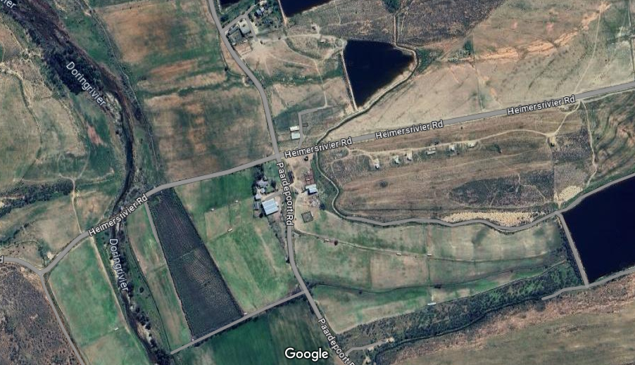
Traveling along the N9 from George to Uniondale, about 30km after you left George, you will find the turn-off to Herold on the right and about 100m after that the turn-off to Paardepoort on your left.


You turn off the N9 and straight onto gravel, heading North.


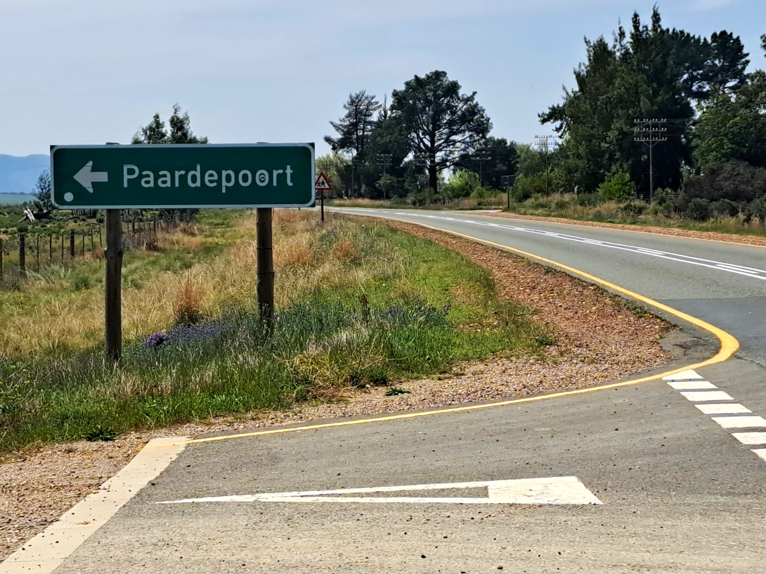
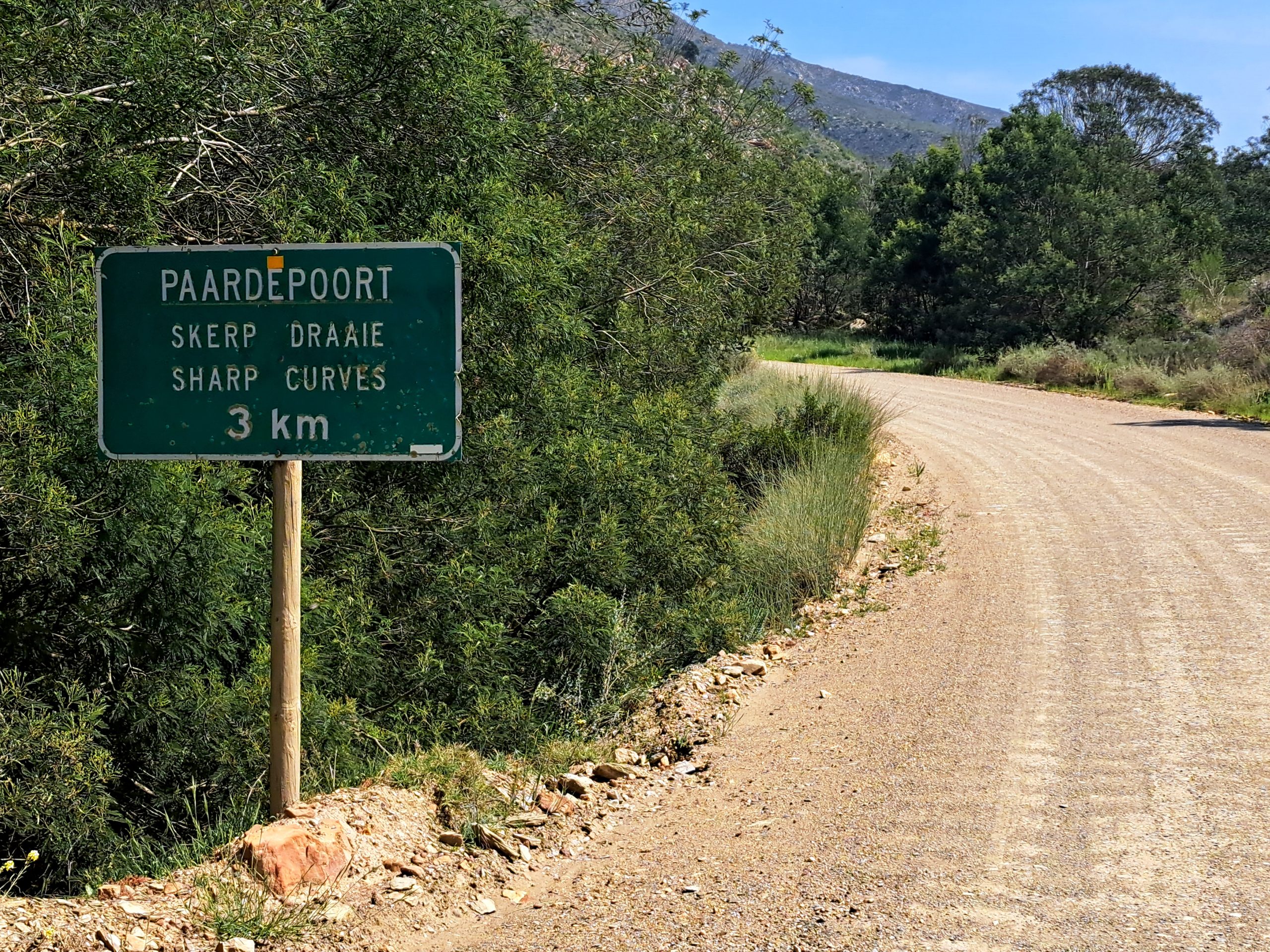
Across the plain and just before you enter the poort through the mountain, there is a somewhat discreet sign, announcing you are entering Paardepoort.

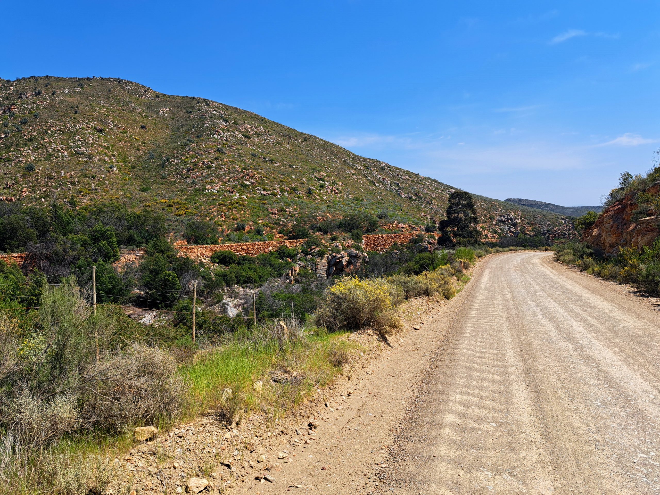
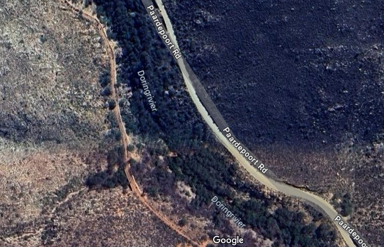
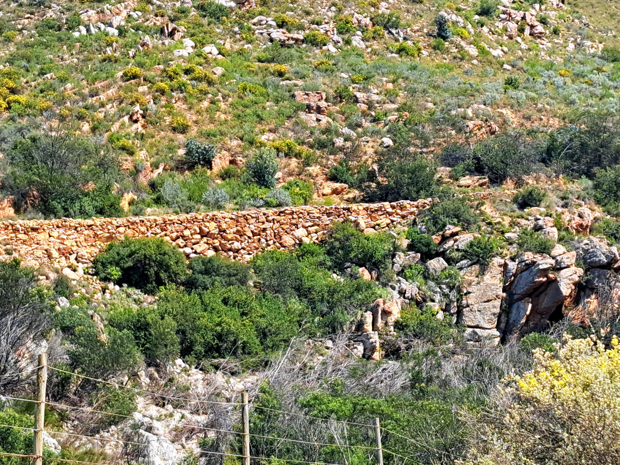
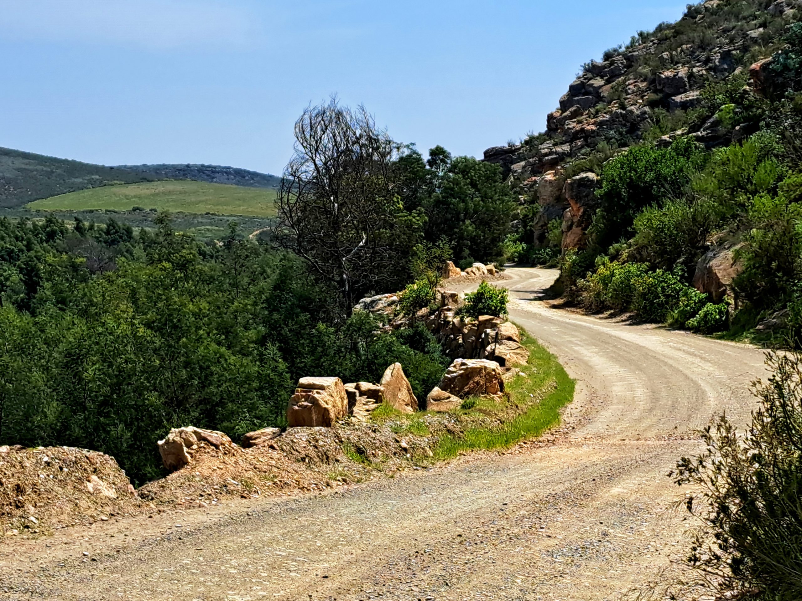
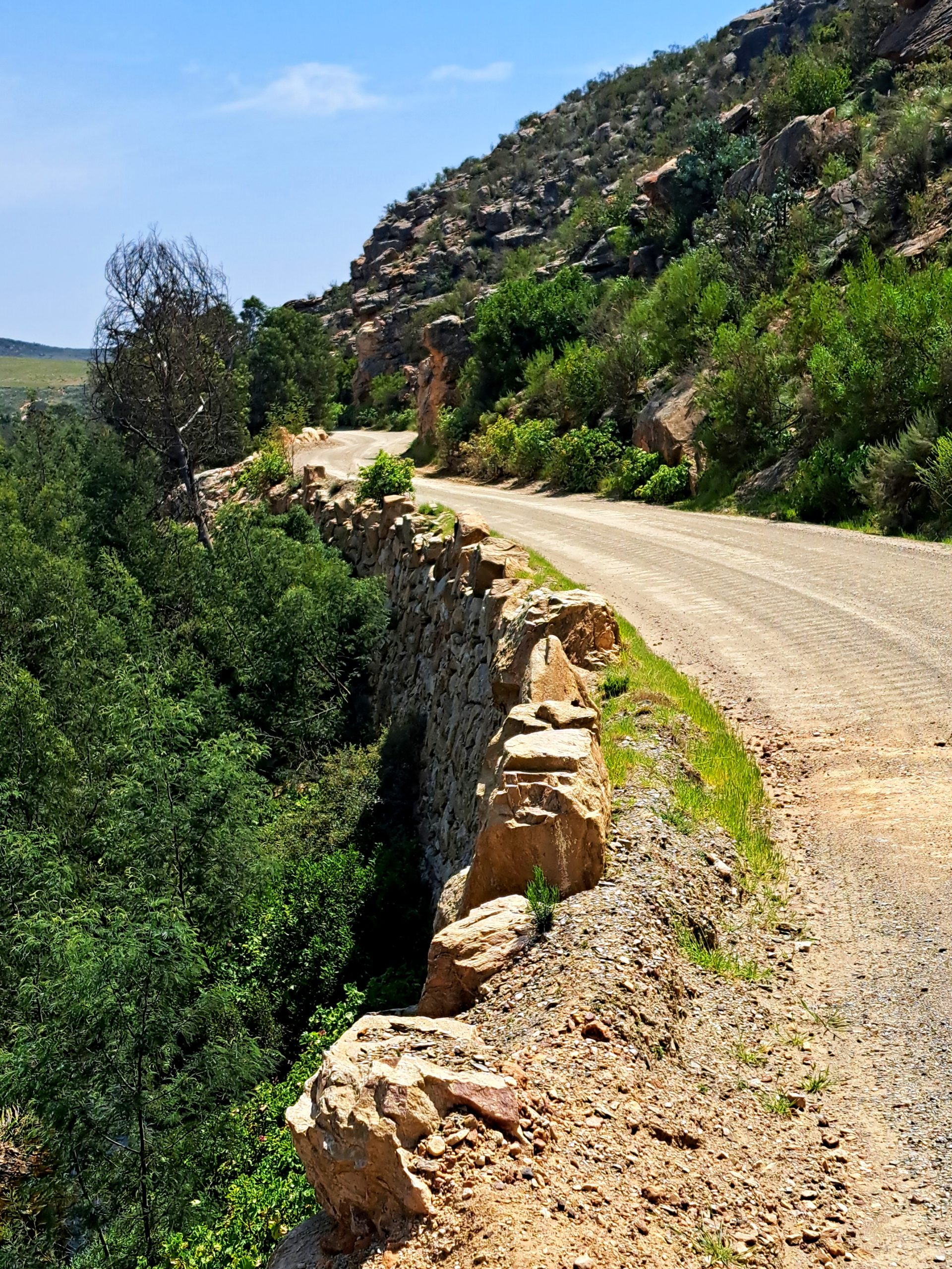
As soon as you enter the Poort you can see the old road, built with the dry-stone wall method similar to Swartberg Pass, on the opposite side of the river.


According to the website Mountainpasses SA, once the Montagu Pass had been completed in 1847 the convicts whom had worked on the Montagu Pass were transferred to Paardepoort, where an obvious path through the mountains was a natural progression of the Montagu pass northwards to Oudtshoorn. The original road on the western bank of the Doring River was only one lane wide, but it did offer passing opportunities. The road was opened in 1850.


The new road on the eastern bank of the poort was built in in the 1930’s offering a safer, wider road. The road has been blasted out of the rock-face and still remains fairly narrow. The scenery is pleasant as the road meanders next to the river, faithfully copying its course for several kilometers. The stonework on the new road is a work of art in itself.


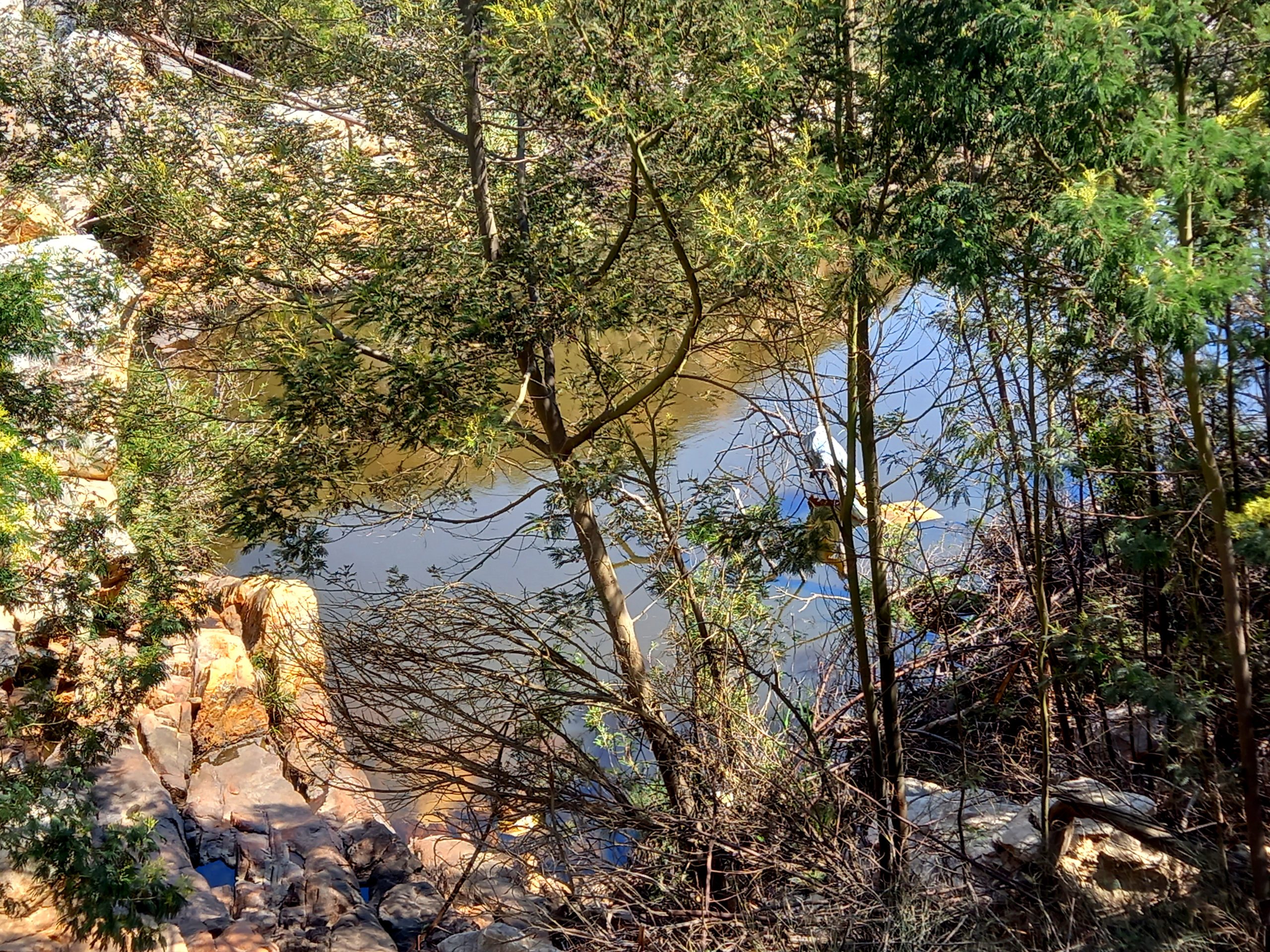
At one point the river forms a pool, perfect for swimming if it is a hot day. Just make sure you park somewhere safe, not obscuring the road.


This is an older photo of myself riding through Paardepoort in the opposite direction during the launch of the new BMW 1250GS. It is my favourite Paardepoort photo, taken by Rob Till.

Exiting the poort into the Klein Karoo proper you ride / drive a short distance to come to a cross in the road that my friends and I call the centre of the world if you are an Adventure Biker. We sometimes even meet up at this crossing before a ride. Why? Because from this point you can go anywhere! Riding South you go through Paardepoort, you used to be able to cross Montagu pass and if you kept going you could ride all the way to Cape Augulhas, the Southernmost point of Africa, even crossing a river using a pontoon at one stage.

Riding East you can do Baviaanskloof, Addo, Lesotho and all the way to Mozambique. If you hop the pond you can even ride Madagascar! Go North and you can ride Swartberg Pass, the Karoo, all the way up through Africa and even up to Russia and the Road of Bones. East lies the Cederberg, West Coast and if you want you can travel further East and go ride South America! All from this spot.


Today we will not be traveling that far though, we head east.


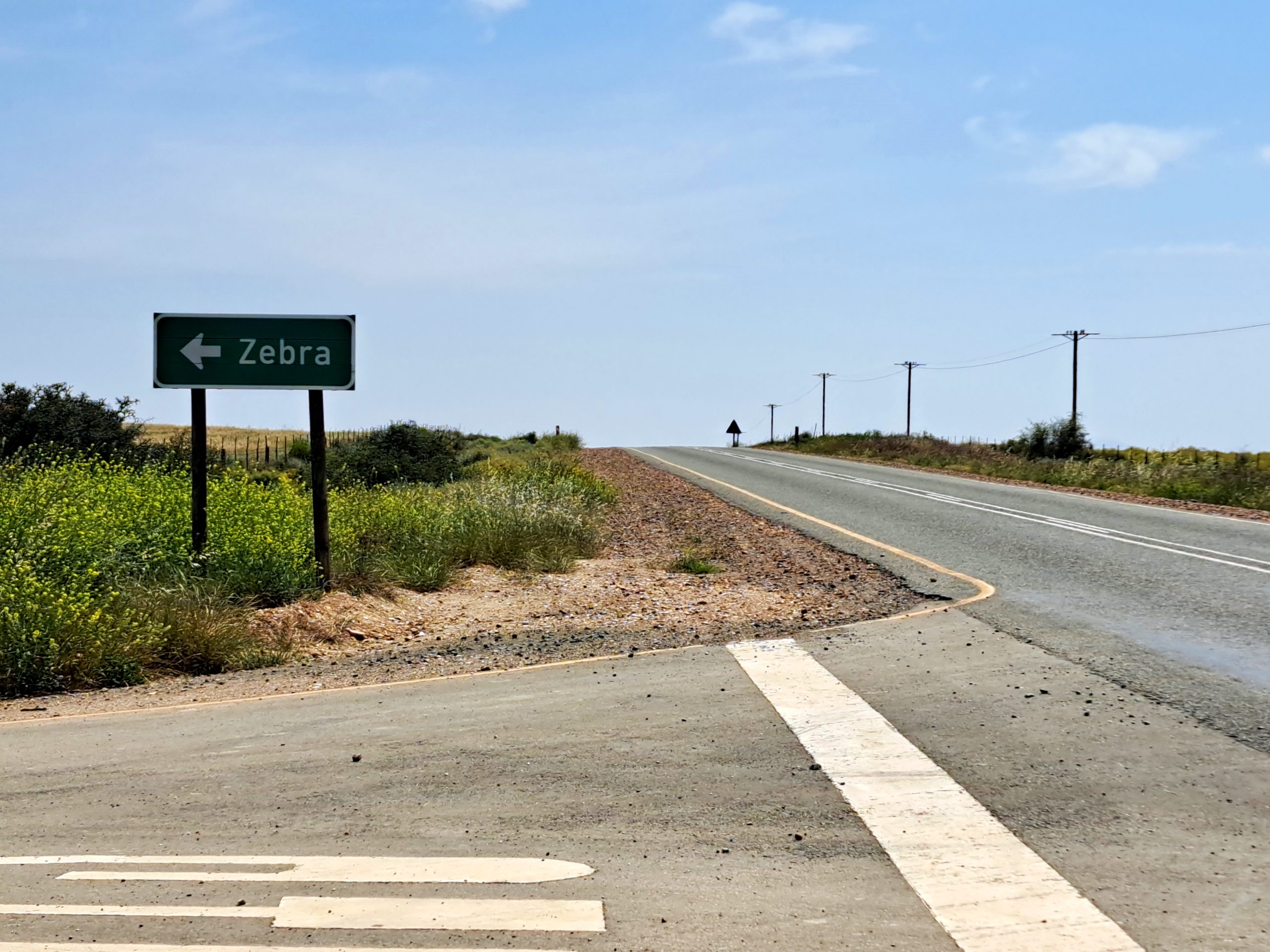
This shortish stretch of around 8km will take you to the N12 where you turn right direction Oudtshoorn, but only for 800m where you leave the tar again turning left toward Zebra.


This is the only section that can be somewhat tricky. After about 3km at the first turnoff keep left and the at the Y keep right. Just make sure you follow the signs that say Mount Hope.

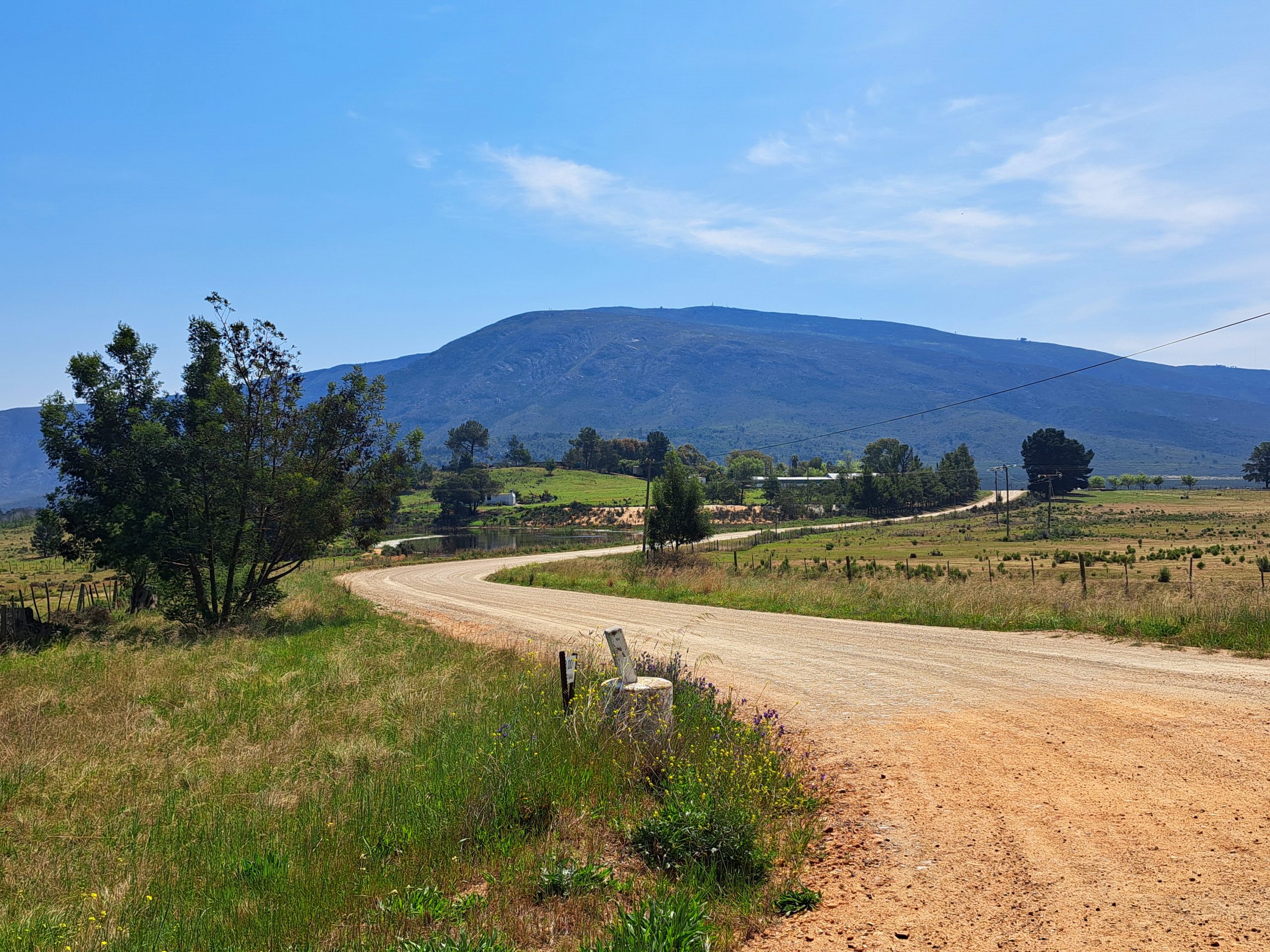
Now you can relax and enjoy the rest of the Klein Karoo Scenery. It changes with every season and is especially spectacular after it has rained.


Around 12km after the Zebra turn-off the turns right. You can carry on straight also, but its quite clear that the main route turns right.

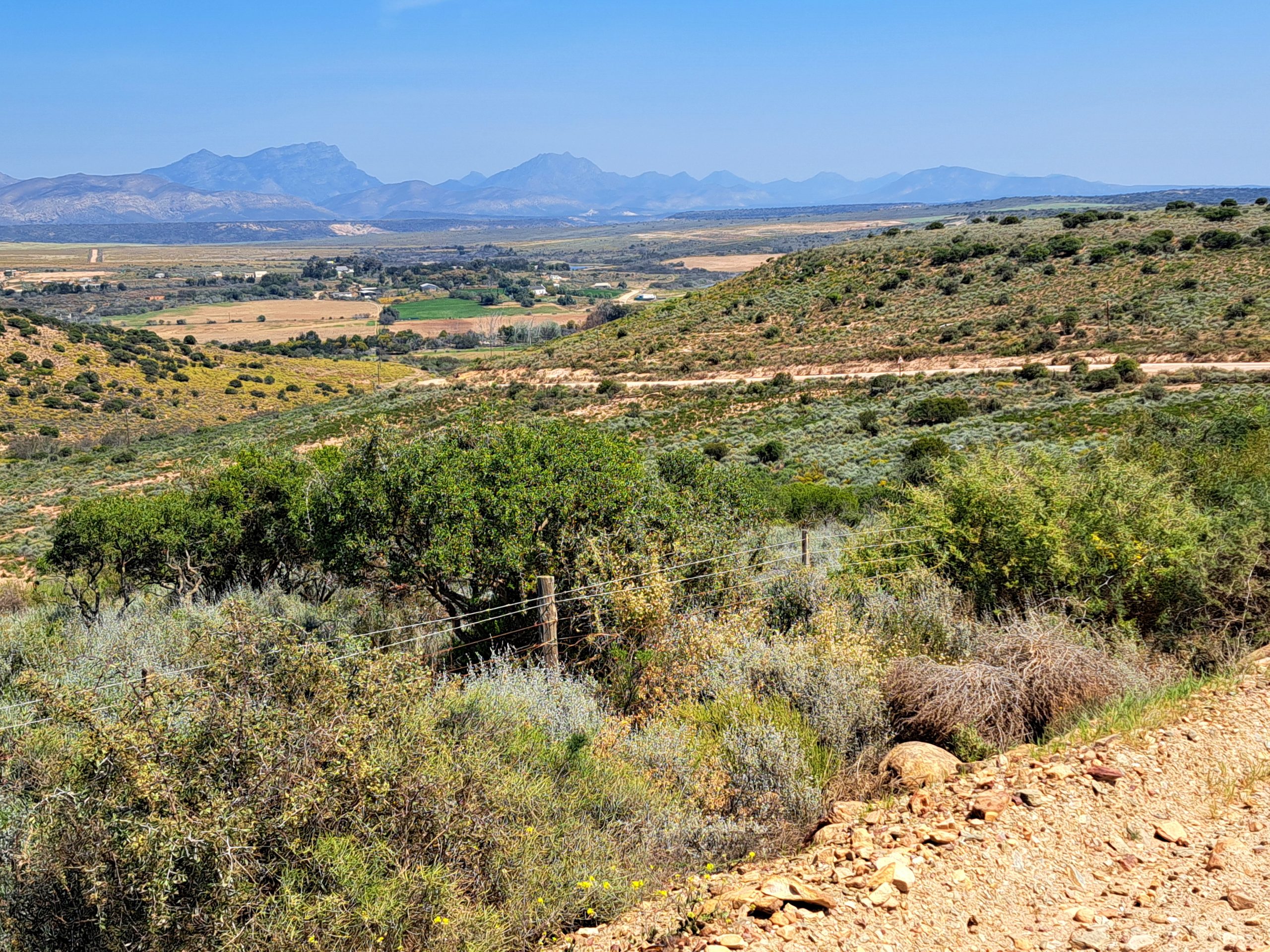
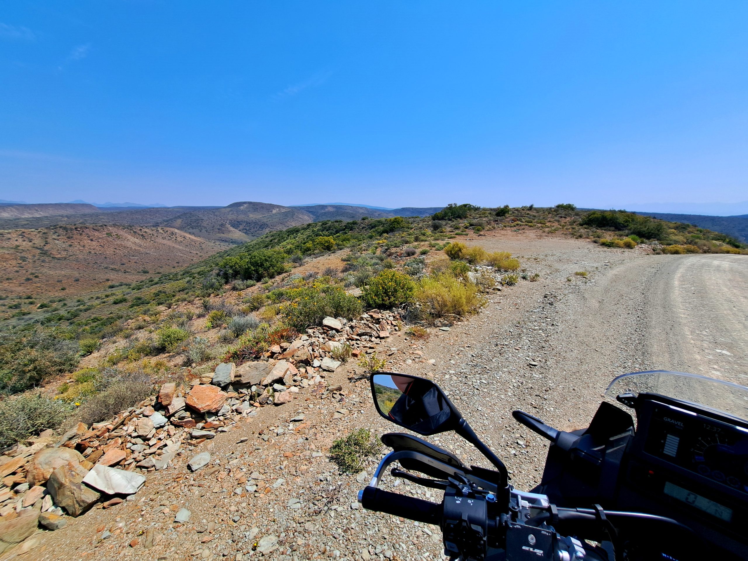
The road takes you over some heights and at the top there is a natural viewpoint over the whole area with a small clearing perfect for a roadside braai (we are busy with a roadside braai project also, so check back on this website soon if that is something that interests you).


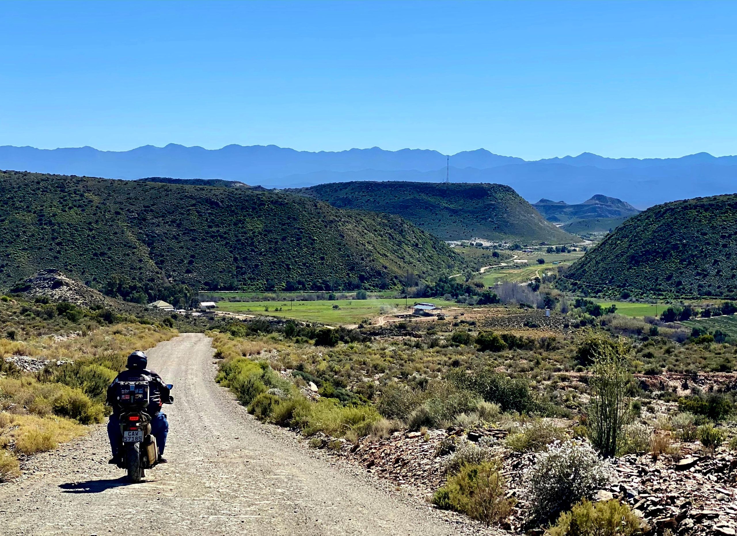
From here you drop down into a green valley and all the way down to the river.


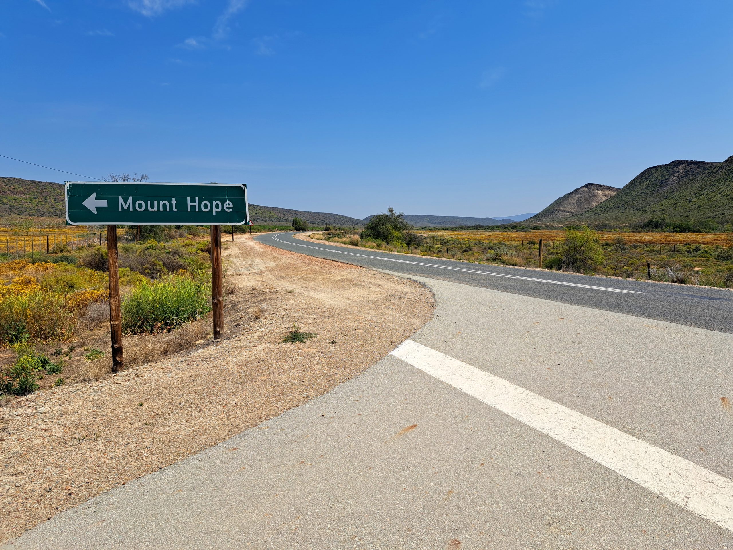
And all to soon its over. The road exits onto the R328 connecting Oudtshoorn and Mossel Bay. If you wanted to do the route in reverse, this is where you would start. The sign says Mount Hope.


When we plan and discover routes (yes, you can discover routes on a map – read here) we use the Tracks 4 Africa and Slingsby Paper maps. These are an investment in your adventuring life and well worth it. Another investment well worth it, that we’d like to endorse (and no, we are not paid for this promotion – I recommend these purely because I myself found it to be extremely useful) is a subscription to www.mountainpassessouthafrica.co.za.

The subscription membership part is where the bulk of the info of Paardepoort comes from. I have known about and ridden Paardepoort for 10+ years and even I learned a lot more about the poort after I joined MPSA. It is an invaluable resource if you like to explore our country!